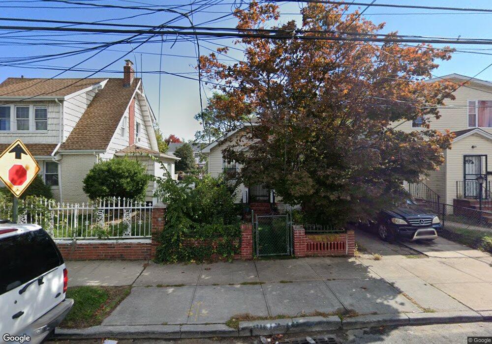
13515 219th St Springfield Gardens, NY 11413
Laurelton NeighborhoodEstimated Value: $439,344 - $679,000
--
Bed
--
Bath
512
Sq Ft
$1,112/Sq Ft
Est. Value
About This Home
This home is located at 13515 219th St, Springfield Gardens, NY 11413 and is currently estimated at $569,336, approximately $1,111 per square foot. 13515 219th St is a home located in Queens County with nearby schools including Cynthia Jenkins School, Collaborative Arts Middle School, and Merrick Academy Charter School.
Ownership History
Date
Name
Owned For
Owner Type
Purchase Details
Closed on
Jul 2, 2004
Sold by
Mansion Homes Inc
Bought by
Barras Ingrid T
Current Estimated Value
Purchase Details
Closed on
Sep 11, 2003
Sold by
Vineyard James and Vineyard Kitty
Bought by
Mansion Homes Inc
Create a Home Valuation Report for This Property
The Home Valuation Report is an in-depth analysis detailing your home's value as well as a comparison with similar homes in the area
Home Values in the Area
Average Home Value in this Area
Purchase History
| Date | Buyer | Sale Price | Title Company |
|---|---|---|---|
| Barras Ingrid T | $289,000 | -- | |
| Mansion Homes Inc | $160,000 | -- |
Source: Public Records
Mortgage History
| Date | Status | Borrower | Loan Amount |
|---|---|---|---|
| Closed | Barras Ingrid T | $0 |
Source: Public Records
Tax History Compared to Growth
Tax History
| Year | Tax Paid | Tax Assessment Tax Assessment Total Assessment is a certain percentage of the fair market value that is determined by local assessors to be the total taxable value of land and additions on the property. | Land | Improvement |
|---|---|---|---|---|
| 2025 | $3,799 | $20,024 | $5,802 | $14,222 |
| 2024 | $3,799 | $18,916 | $5,687 | $13,229 |
| 2023 | $3,799 | $18,916 | $5,269 | $13,647 |
| 2022 | $3,740 | $27,600 | $8,640 | $18,960 |
| 2021 | $3,722 | $22,860 | $8,640 | $14,220 |
| 2020 | $3,532 | $19,680 | $8,640 | $11,040 |
| 2019 | $3,297 | $21,660 | $8,640 | $13,020 |
| 2018 | $3,213 | $15,763 | $7,071 | $8,692 |
| 2017 | $3,183 | $15,614 | $7,861 | $7,753 |
| 2016 | $2,947 | $15,614 | $7,861 | $7,753 |
| 2015 | $1,557 | $13,906 | $7,620 | $6,286 |
| 2014 | $1,557 | $13,136 | $8,649 | $4,487 |
Source: Public Records
Map
Nearby Homes
- 136-3 220th St
- 22019 135th Ave
- 220-24 134th Rd
- 136-18 221st St
- 21611 135th Ave
- 22023 137th Ave
- 218-04 137th Ave
- 22111 136th Ave
- 134-15 221st St
- 21608 Merrick Blvd
- 137-28 220th St
- 13512 223rd St
- 13538 223rd St
- 133-15 220th St
- 21823 138th Ave
- 223-12 134th Rd
- 137-26 224th St
- 187-01 Ridgedale St
- 21908 138th Rd
- 135-28 226th St
- 135-11 219th St
- 13511 219th St
- 13519 219th St
- 135-19 219th St
- 13507 219th St
- 13516 220th St
- 13518 220th St
- 13514 220th St
- 13520 220th St
- 219-07 219 St
- 21903 136th Ave
- 21912 135th Ave
- 219-11 219 St
- 13503 135th Ave
- 21911 136th Ave
- 219-07 136th Ave
- 219-7 136th Ave
- 21920 135th Ave
- 13526 219th St
- 13526 219th St