13518 N 525 Rd Tahlequah, OK 74464
Estimated Value: $260,003 - $364,000
3
Beds
2
Baths
2,277
Sq Ft
$134/Sq Ft
Est. Value
About This Home
This home is located at 13518 N 525 Rd, Tahlequah, OK 74464 and is currently estimated at $305,668, approximately $134 per square foot. 13518 N 525 Rd is a home located in Cherokee County with nearby schools including Grand View Public School.
Ownership History
Date
Name
Owned For
Owner Type
Purchase Details
Closed on
Nov 10, 2008
Sold by
Secretary Of Veterans Affairs
Bought by
Chunestudy Callie A
Current Estimated Value
Home Financials for this Owner
Home Financials are based on the most recent Mortgage that was taken out on this home.
Original Mortgage
$15,000
Interest Rate
5.48%
Mortgage Type
Stand Alone Second
Purchase Details
Closed on
Aug 13, 1996
Sold by
David Talley
Bought by
Rick L Ross
Purchase Details
Closed on
Apr 12, 1993
Sold by
Catron Jerry L and Catron Nancy S
Bought by
Karin David K and Karin Talley
Create a Home Valuation Report for This Property
The Home Valuation Report is an in-depth analysis detailing your home's value as well as a comparison with similar homes in the area
Home Values in the Area
Average Home Value in this Area
Purchase History
| Date | Buyer | Sale Price | Title Company |
|---|---|---|---|
| Chunestudy Callie A | $74,000 | Multiple | |
| Rick L Ross | $95,000 | -- | |
| Karin David K | $87,500 | -- |
Source: Public Records
Mortgage History
| Date | Status | Borrower | Loan Amount |
|---|---|---|---|
| Previous Owner | Chunestudy Callie A | $15,000 |
Source: Public Records
Tax History Compared to Growth
Tax History
| Year | Tax Paid | Tax Assessment Tax Assessment Total Assessment is a certain percentage of the fair market value that is determined by local assessors to be the total taxable value of land and additions on the property. | Land | Improvement |
|---|---|---|---|---|
| 2025 | $1,033 | $13,063 | $2,220 | $10,843 |
| 2024 | $1,033 | $12,441 | $2,114 | $10,327 |
| 2023 | $1,033 | $11,074 | $1,978 | $9,096 |
| 2022 | $748 | $10,547 | $1,884 | $8,663 |
| 2021 | $713 | $10,046 | $1,795 | $8,251 |
| 2020 | $679 | $9,566 | $1,709 | $7,857 |
| 2019 | $706 | $9,112 | $1,628 | $7,484 |
| 2018 | $677 | $8,677 | $1,550 | $7,127 |
| 2017 | $649 | $8,264 | $1,476 | $6,788 |
| 2016 | $622 | $7,870 | $1,319 | $6,551 |
| 2015 | $562 | $7,497 | $824 | $6,673 |
| 2014 | $562 | $7,139 | $957 | $6,182 |
Source: Public Records
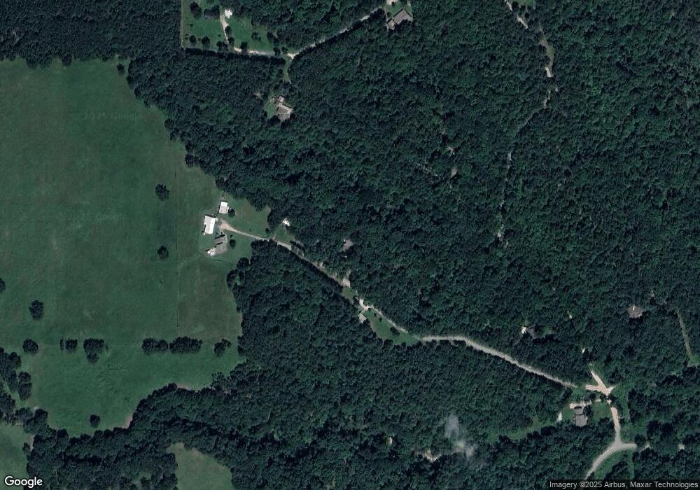
Map
Nearby Homes
- 20819 E Steely Hollow Rd
- TBD Blk 1 Lot 11 E Steely Hollow Rd
- TBD Blk 1 Lot 4 E Steely Hollow Rd
- TBD BLK 1 Lot 10 E Steely Hollow Rd
- TBD BLK 1 Lot 9 E Steely Hollow Rd
- TBD Blk 1 Lot 1 E Steely Hollow Rd
- TBD BLK 1 Lot 2 E Steely Hollow Rd
- TBD Blk 1 Lot 6 E Steely Hollow Rd
- TBD Blk 1 Lot 8 E Steely Hollow Rd
- TBD Blk 1 Lot 5 E Steely Hollow Rd
- 13725 N 527 Rd
- 0 N Hwy 82 Hwy Unit 2518924
- 12562 N Webster Rd
- 13552 State Highway 82
- 100 Career Tech
- 540 N Moccasin
- 501 Airport
- 401 Airport
- 520 N Moccasin
- 951 Main
- 13394 N Pine Ridge Dr
- 13534 N Pine Ridge Dr
- 13394 N Pine Ridge Dr
- 13394 N Pine Ridge Dr
- 1509 Creekside Dr
- 13500 N 525 Rd
- N Pine Ridge Dr
- 13293 N Pine Ridge Dr
- 13502 N Pine Ridge Dr
- 13542 N 525 Rd
- 13579 N 525 Rd
- 13220 N Pine Ridge Dr
- 18997 E 710 Rd
- 18980 E 710 Rd
- 13545 N 525 Rd
- 19513 E Steely Hollow Rd
- 19559 E Steely Hollow Rd
- 0 E Steely Hollow Rd
- TBD LT 1 BLK 1 E Steely Hollow Rd
- TBD E Steely Hollow Rd