1352 Lakeside Dr Block Island, RI 02807
Estimated Value: $1,486,231 - $2,721,000
2
Beds
2
Baths
1,524
Sq Ft
$1,326/Sq Ft
Est. Value
About This Home
This home is located at 1352 Lakeside Dr, Block Island, RI 02807 and is currently estimated at $2,020,808, approximately $1,325 per square foot. 1352 Lakeside Dr is a home with nearby schools including Block Island School.
Ownership History
Date
Name
Owned For
Owner Type
Purchase Details
Closed on
Nov 27, 2007
Sold by
Lohr Jane B
Bought by
Keeler Amy
Current Estimated Value
Home Financials for this Owner
Home Financials are based on the most recent Mortgage that was taken out on this home.
Original Mortgage
$500,000
Outstanding Balance
$318,437
Interest Rate
6.42%
Mortgage Type
Purchase Money Mortgage
Estimated Equity
$1,702,371
Create a Home Valuation Report for This Property
The Home Valuation Report is an in-depth analysis detailing your home's value as well as a comparison with similar homes in the area
Home Values in the Area
Average Home Value in this Area
Purchase History
| Date | Buyer | Sale Price | Title Company |
|---|---|---|---|
| Keeler Amy | $1,150,000 | -- |
Source: Public Records
Mortgage History
| Date | Status | Borrower | Loan Amount |
|---|---|---|---|
| Open | Keeler Amy | $500,000 | |
| Previous Owner | Keeler Amy | $45,000 |
Source: Public Records
Tax History Compared to Growth
Tax History
| Year | Tax Paid | Tax Assessment Tax Assessment Total Assessment is a certain percentage of the fair market value that is determined by local assessors to be the total taxable value of land and additions on the property. | Land | Improvement |
|---|---|---|---|---|
| 2024 | $5,595 | $1,013,600 | $659,800 | $353,800 |
| 2023 | $6,102 | $1,013,600 | $659,800 | $353,800 |
| 2022 | $5,249 | $741,360 | $584,800 | $156,560 |
| 2021 | $4,967 | $741,360 | $584,800 | $156,560 |
| 2020 | $4,715 | $741,360 | $584,800 | $156,560 |
| 2019 | $4,562 | $740,640 | $584,800 | $155,840 |
| 2018 | $4,481 | $753,120 | $584,800 | $168,320 |
| 2017 | $4,413 | $753,120 | $584,800 | $168,320 |
| 2016 | $4,308 | $753,120 | $584,800 | $168,320 |
| 2015 | $5,232 | $949,600 | $731,000 | $218,600 |
| 2014 | $5,071 | $949,600 | $731,000 | $218,600 |
| 2013 | $4,947 | $949,600 | $731,000 | $218,600 |
Source: Public Records
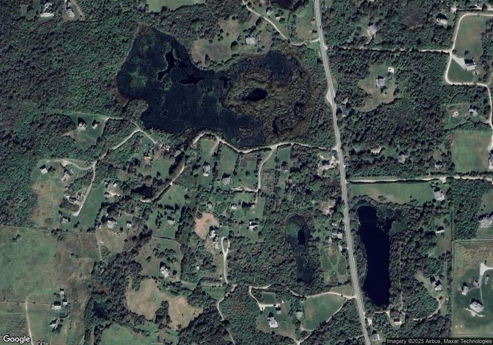
Map
Nearby Homes
- 1087 Lakeside Dr
- 1661 Sand Pond Rd
- 1448 Mohegan Trail
- 0 Snake Hole Rd
- 1035 Mohegan Trail
- 0 Mohegan Trail
- 804 Mohegan Trail
- 1501 Beacon Hill Rd
- 194 Pilot Hill Rd
- 0 Pilot Hill Rd
- 481 Old Town Rd
- 1289 High St
- 1328 Cooneymus Rd
- 256 High St
- 0 Spring St
- 0 Southeast Rd Unit 1381406
- 1596 W Side Rd
- 1557 W Side Rd
- 0 Coast Guard Rd
- 1210 Graces Cove Rd
- 1087 1087 Lakeside Dr
- 1649 Lakeside Dr
- 761 Lakeside Dr
- 1034 Lakeside Dr
- 760 Lakeside Dr
- 1223 Lakeside Dr
- 774 Lakeside Dr
- 773 Lakeside Dr
- 762 Lakeside Dr
- 759 Lakeside Dr
- 1184 Lakeside Dr
- 763 Lakeside Dr
- 1678 Lakeside Dr
- 1007 Lakeside Dr
- 764 Lakeside Dr
- 765 Lakeside Dr
- 1545 Lakeside Dr
- 1614 Lakeside Dr
- 570 Old Center Rd
- 1662 Lakeside Dr