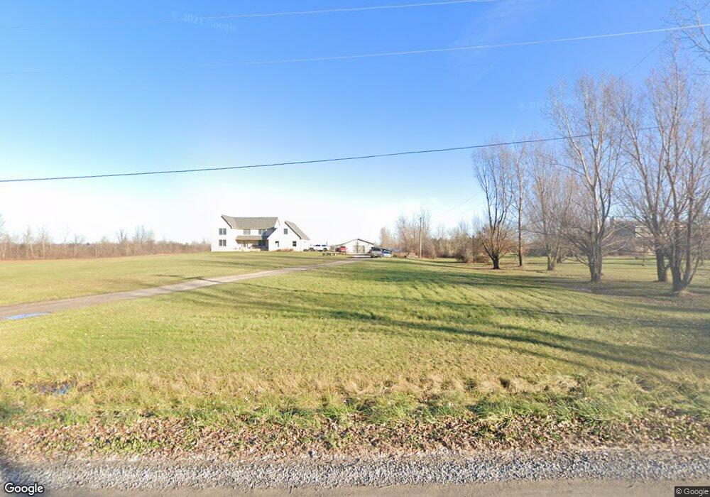
13520 Burns Rd Carleton, MI 48117
Estimated Value: $442,000 - $538,840
Studio
--
Bath
--
Sq Ft
480,467
Sq Ft Lot
About This Home
This home is located at 13520 Burns Rd, Carleton, MI 48117 and is currently estimated at $479,613. 13520 Burns Rd is a home located in Monroe County with nearby schools including Airport Senior High School, St. Patrick Elementary School, and Carleton Community Baptist.
Ownership History
Date
Name
Owned For
Owner Type
Purchase Details
Closed on
Aug 3, 2015
Sold by
Gordon Glen W and Gordon Connie M
Bought by
Kava Cathy
Current Estimated Value
Home Financials for this Owner
Home Financials are based on the most recent Mortgage that was taken out on this home.
Original Mortgage
$171,300
Outstanding Balance
$134,955
Interest Rate
4.08%
Mortgage Type
New Conventional
Estimated Equity
$344,658
Purchase Details
Closed on
Feb 12, 2015
Sold by
Gordon Glen W and Gordon Connie M
Bought by
Wells Fargo Bank Na
Purchase Details
Closed on
Jul 27, 1999
Sold by
First National Acceptanc
Bought by
Gordon Glen and Gordon Connie
Create a Home Valuation Report for This Property
The Home Valuation Report is an in-depth analysis detailing your home's value as well as a comparison with similar homes in the area
Home Values in the Area
Average Home Value in this Area
Purchase History
| Date | Buyer | Sale Price | Title Company |
|---|---|---|---|
| Kava Cathy | $214,207 | Michigan Title Insurance Age | |
| Wells Fargo Bank Na | $210,332 | None Available | |
| Gordon Glen | $50,000 | -- |
Source: Public Records
Mortgage History
| Date | Status | Borrower | Loan Amount |
|---|---|---|---|
| Open | Kava Cathy | $171,300 |
Source: Public Records
Tax History
| Year | Tax Paid | Tax Assessment Tax Assessment Total Assessment is a certain percentage of the fair market value that is determined by local assessors to be the total taxable value of land and additions on the property. | Land | Improvement |
|---|---|---|---|---|
| 2025 | $2,318 | $260,700 | $260,700 | $0 |
| 2024 | $2,248 | $246,900 | $0 | $0 |
| 2023 | $2,141 | $210,300 | $0 | $0 |
| 2022 | $4,648 | $210,300 | $0 | $0 |
| 2021 | $4,479 | $206,500 | $0 | $0 |
| 2020 | $4,417 | $193,500 | $0 | $0 |
| 2019 | $4,334 | $193,500 | $0 | $0 |
| 2018 | $4,232 | $182,000 | $0 | $0 |
| 2017 | $3,989 | $182,000 | $0 | $0 |
| 2015 | $3,314 | $148,700 | $0 | $0 |
| 2014 | $3,314 | $148,700 | $0 | $0 |
| 2013 | -- | $142,100 | $0 | $0 |
Source: Public Records
Map
Nearby Homes
- 13498 Exeter Rd
- 12850 Crane St
- 12751 Jones St
- 0 Maxwell Rd Unit 50201585
- 12259 Eldora St
- 910 Monroe St
- 12361 Spencer Ln
- 1405 Cedarcrest Dr
- 533 Center St
- 1980 Oakville Waltz Rd
- 28503 Margaret Ln Unit 1
- 0 E Newburg Rd Unit 50201518
- 146 Virginia St
- 0 Oakville Waltz Rd Unit G50038710
- 36505 Bismark Rd
- VACANT Oakville Waltz Rd
- 27750 Bell Rd
- 27125 Delos Rd
- 49 James Dr
- 0 Carleton West Rd
- 13456 Burns Rd
- 13750 Burns Rd
- 13360 Burns Rd
- 13455 Burns Rd
- 13335 Burns Rd
- 13301 Burns Rd
- 13772 Burns Rd
- 13189 Burns Rd
- 13525 Maxwell Rd
- 13413 Maxwell Rd
- 13105 Burns Rd
- 13892 Burns Rd
- 13620 Maxwell Rd
- 13285 Maxwell Rd
- 13080 Burns Rd
- 13051 Burns Rd
- 2395 W Newburg Rd
- 13167 Maxwell Rd
- 2381 W Newburg Rd
- 2353 W Newburg Rd
Your Personal Tour Guide
Ask me questions while you tour the home.