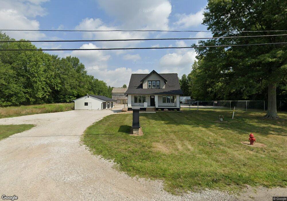
13524 Broad St SW Pataskala, OH 43062
Estimated Value: $309,000 - $612,094
4
Beds
2
Baths
1,814
Sq Ft
$229/Sq Ft
Est. Value
About This Home
This home is located at 13524 Broad St SW, Pataskala, OH 43062 and is currently estimated at $415,774, approximately $229 per square foot. 13524 Broad St SW is a home located in Licking County with nearby schools including North Elementary School, Licking Heights Central, and Licking Heights High School.
Ownership History
Date
Name
Owned For
Owner Type
Purchase Details
Closed on
Apr 30, 2020
Sold by
Rader Diane C
Bought by
Craller Properties Llc
Current Estimated Value
Purchase Details
Closed on
Nov 29, 2010
Sold by
Ray Brooke R and Ray Matthew N
Bought by
Rader Donald R and Rader Diane C
Purchase Details
Closed on
Apr 27, 2007
Sold by
Rader Donald R and Rader Diane C
Bought by
Ray Matthew N and Ray Brooke R
Home Financials for this Owner
Home Financials are based on the most recent Mortgage that was taken out on this home.
Original Mortgage
$162,000
Interest Rate
7.75%
Mortgage Type
Unknown
Purchase Details
Closed on
Jan 30, 2006
Sold by
Rader Donald R and Rader Diane C
Bought by
Rader Donald R and Rader Diane C
Purchase Details
Closed on
Nov 14, 1996
Sold by
Rader Donald R
Bought by
Murr/Mast Ltd
Create a Home Valuation Report for This Property
The Home Valuation Report is an in-depth analysis detailing your home's value as well as a comparison with similar homes in the area
Home Values in the Area
Average Home Value in this Area
Purchase History
| Date | Buyer | Sale Price | Title Company |
|---|---|---|---|
| Craller Properties Llc | $200,000 | Landsel Title Agency Inc | |
| Rader Donald R | $135,000 | Attorney | |
| Ray Matthew N | $150,000 | Attorney | |
| Rader Donald R | -- | None Available | |
| Murr/Mast Ltd | $120,000 | -- |
Source: Public Records
Mortgage History
| Date | Status | Borrower | Loan Amount |
|---|---|---|---|
| Previous Owner | Ray Matthew N | $162,000 |
Source: Public Records
Tax History Compared to Growth
Tax History
| Year | Tax Paid | Tax Assessment Tax Assessment Total Assessment is a certain percentage of the fair market value that is determined by local assessors to be the total taxable value of land and additions on the property. | Land | Improvement |
|---|---|---|---|---|
| 2024 | $6,037 | $115,430 | $72,030 | $43,400 |
| 2023 | $6,257 | $115,430 | $72,030 | $43,400 |
| 2022 | $4,398 | $69,930 | $46,550 | $23,380 |
| 2021 | $4,486 | $69,930 | $46,550 | $23,380 |
| 2020 | $5,019 | $69,930 | $46,550 | $23,380 |
| 2019 | $5,668 | $74,310 | $46,550 | $27,760 |
| 2018 | $5,721 | $74,305 | $46,550 | $27,755 |
| 2017 | $4,761 | $0 | $0 | $0 |
| 2016 | $3,827 | $0 | $0 | $0 |
| 2015 | $3,680 | $0 | $0 | $0 |
| 2014 | $4,538 | $0 | $0 | $0 |
| 2013 | $3,662 | $0 | $0 | $0 |
Source: Public Records
Map
Nearby Homes
- 131 Broadmoore Blvd
- 220 Woodland Sky Dr
- 222 Woodland Sky Dr
- 507 Curry Dr
- 209 Rona Blvd
- 413 Halton Dr
- 211 Rona Blvd
- 13771 Cleveland Rd SW
- 13770 Cleveland Rd SW
- 494 Wagon Ave
- 7376 Mink St SW
- 805 Saddle Ave
- 7483 Summit Rd SW
- 188 Windward Dr
- 605 Faith Ann Dr
- 316 Cottage Grove Cir
- 315 Cottage Grove Cir
- 0 Mink St SW Unit 13 225006231
- 0 Mink St SW
- 6051 Taylor Rd SW
- 13524 Broad St SW
- 13604 Broad St SW
- 13604 Broad St SW
- 13620 Broad St SW
- 13620 Broad St SW
- 127 Old Bay Dr
- 13624 Broad St SW
- 13654 Broad St SW
- 100 Old Bay Loop
- 121 Redhaven Ct
- 13690 Broad St SW
- 13750 Broad St SW
- 13395 Broad St SW
- 102 Old Bay Loop
- 123 Redhaven Ct
- 104 Old Bay Loop
- 125 Old Bay Dr
- 125 Redhaven Ct
- 122 Old Bay Dr
- 106 Old Bay Loop