1353 Bob Branch Rd Andrews, NC 28901
Estimated Value: $270,000 - $315,000
2
Beds
2
Baths
1,908
Sq Ft
$155/Sq Ft
Est. Value
About This Home
This home is located at 1353 Bob Branch Rd, Andrews, NC 28901 and is currently estimated at $295,761, approximately $155 per square foot. 1353 Bob Branch Rd is a home located in Cherokee County with nearby schools including Andrews Elementary School, Andrews Middle School, and Andrews High School.
Ownership History
Date
Name
Owned For
Owner Type
Purchase Details
Closed on
May 2, 2022
Sold by
Herendeen Brittany M and Herendeen Jacob W
Bought by
1353 Bob Branch Road Llc
Current Estimated Value
Purchase Details
Closed on
Feb 1, 2022
Sold by
Benson John B and Benson Linda D
Bought by
Herendeen Brittany M and Herendeen Jacob W
Home Financials for this Owner
Home Financials are based on the most recent Mortgage that was taken out on this home.
Original Mortgage
$254,150
Interest Rate
3.45%
Mortgage Type
New Conventional
Purchase Details
Closed on
Jun 19, 2018
Sold by
Weissman Bruce J and Weissman Judith Walker
Bought by
Benson John B and Benson Linda D
Purchase Details
Closed on
Jan 5, 2011
Sold by
Dunkle Randal C
Bought by
Weissman Bruce J
Create a Home Valuation Report for This Property
The Home Valuation Report is an in-depth analysis detailing your home's value as well as a comparison with similar homes in the area
Home Values in the Area
Average Home Value in this Area
Purchase History
| Date | Buyer | Sale Price | Title Company |
|---|---|---|---|
| 1353 Bob Branch Road Llc | -- | Davis M Ellen | |
| 1353 Bob Branch Road Llc | -- | None Listed On Document | |
| Herendeen Brittany M | $299,000 | Davis M Ellen | |
| Benson John B | $113,000 | None Available | |
| Weissman Bruce J | $100,000 | None Available |
Source: Public Records
Mortgage History
| Date | Status | Borrower | Loan Amount |
|---|---|---|---|
| Previous Owner | Herendeen Brittany M | $254,150 |
Source: Public Records
Tax History Compared to Growth
Tax History
| Year | Tax Paid | Tax Assessment Tax Assessment Total Assessment is a certain percentage of the fair market value that is determined by local assessors to be the total taxable value of land and additions on the property. | Land | Improvement |
|---|---|---|---|---|
| 2025 | $980 | $134,810 | $0 | $0 |
| 2024 | $980 | $134,810 | $0 | $0 |
| 2023 | $975 | $134,810 | $0 | $0 |
| 2022 | $975 | $134,810 | $0 | $0 |
| 2021 | $713 | $114,470 | $15,000 | $99,470 |
| 2020 | $667 | $114,470 | $0 | $0 |
| 2019 | $779 | $121,560 | $0 | $0 |
| 2018 | $779 | $121,560 | $0 | $0 |
| 2017 | $779 | $121,560 | $0 | $0 |
| 2016 | $779 | $121,560 | $0 | $0 |
| 2015 | $779 | $121,560 | $38,050 | $83,510 |
| 2012 | -- | $121,560 | $38,050 | $83,510 |
Source: Public Records
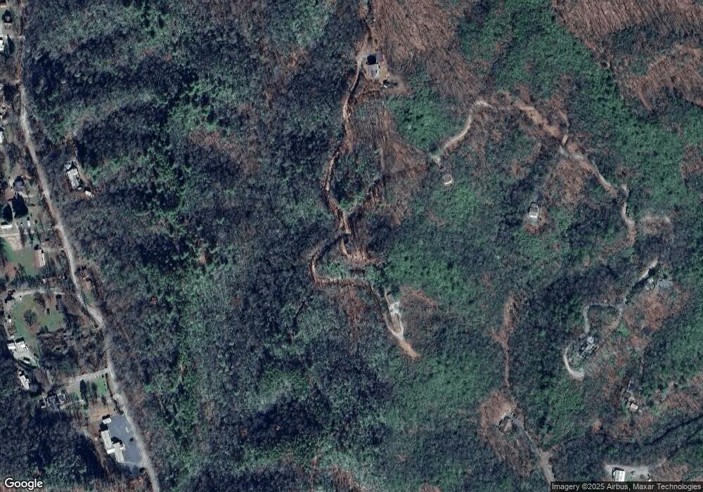
Map
Nearby Homes
- 1039 Bob Branch Rd
- 820 Beaver Creek Rd
- 110 Fisher St
- 1974 Beaver Creek Rd
- 000 Holland Farm Rd
- 2.95 Stewart Rd
- 299 Sunland Dr
- 00 U S 19
- 27 Russell Farm Rd
- 45 Caboose Creek Ln
- 270 Cover Ave
- 1229 Main St
- 196 Johnson Ridge
- 60 Tarrent St
- 00 Main & Whitaker
- 1194 Main St
- 114 Sioux St
- 00 Main St
- 135.49ac Webb Creek Rd
- 61 Fairview Rd
- 1520 Bob Branch Rd
- 1215 Bob Branch Rd
- 1354 Bob Branch Rd
- 343 Bob Branch Rd
- 806 Bob Branch Rd
- 1022 Beaver Creek Rd
- 810 Bob Branch Rd
- 511 Bob Branch Rd
- 917 Beaver Creek Rd
- 985 Beaver Creek Rd
- 1017 Beaver Creek Rd
- 516 Bob Branch Rd
- 1043 Beaver Creek Rd
- 165 Bob Branch Rd
- 290 Bob Branch Rd
- 1107 Beaver Creek Rd
- 189 Bob Branch Rd
- 50 Harvard Ln
- 1243 Beaver Creek Rd
- 1243 Beaver Creek Rd