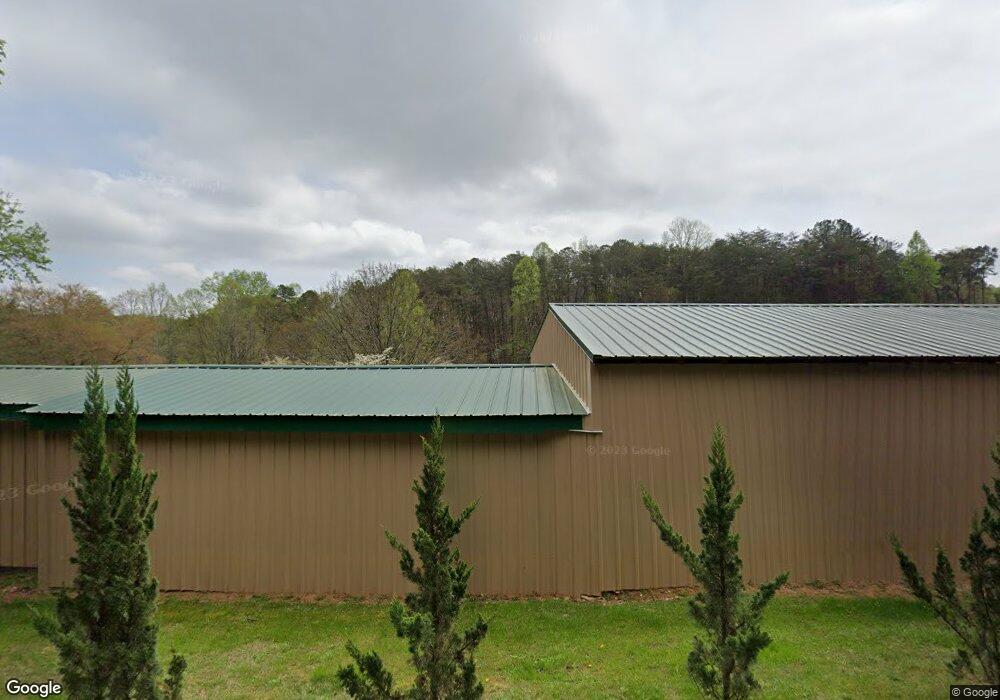
1353 Parksbrook Rd Ellijay, GA 30540
Estimated Value: $187,326 - $274,000
--
Bed
--
Bath
1,024
Sq Ft
$236/Sq Ft
Est. Value
About This Home
This home is located at 1353 Parksbrook Rd, Ellijay, GA 30540 and is currently estimated at $241,332, approximately $235 per square foot. 1353 Parksbrook Rd is a home with nearby schools including Ellijay Elementary School, Clear Creek Elementary School, and Clear Creek Middle School.
Ownership History
Date
Name
Owned For
Owner Type
Purchase Details
Closed on
Sep 27, 2013
Sold by
Piper Annette Edmondson
Bought by
Mull Harold Walter
Current Estimated Value
Purchase Details
Closed on
Jun 14, 2012
Sold by
Davenport Frances Pauline
Bought by
Piper Judy Ann Devenport and Piper Annette Davenport
Purchase Details
Closed on
Jun 12, 2012
Sold by
Davenport Herbert Charles
Bought by
Davenport Frances Pauline Mull
Purchase Details
Closed on
Aug 1, 1988
Bought by
Davenport Herbert C
Create a Home Valuation Report for This Property
The Home Valuation Report is an in-depth analysis detailing your home's value as well as a comparison with similar homes in the area
Home Values in the Area
Average Home Value in this Area
Purchase History
| Date | Buyer | Sale Price | Title Company |
|---|---|---|---|
| Mull Harold Walter | $15,000 | -- | |
| Piper Judy Ann Devenport | $14,200 | -- | |
| Davenport Frances Pauline Mull | $14,200 | -- | |
| Davenport Herbert C | -- | -- |
Source: Public Records
Tax History Compared to Growth
Tax History
| Year | Tax Paid | Tax Assessment Tax Assessment Total Assessment is a certain percentage of the fair market value that is determined by local assessors to be the total taxable value of land and additions on the property. | Land | Improvement |
|---|---|---|---|---|
| 2024 | $735 | $47,440 | $3,480 | $43,960 |
| 2023 | $742 | $46,400 | $2,440 | $43,960 |
| 2022 | $667 | $37,880 | $2,440 | $35,440 |
| 2021 | $327 | $16,480 | $2,200 | $14,280 |
| 2020 | $274 | $12,440 | $2,160 | $10,280 |
| 2019 | $282 | $12,440 | $2,160 | $10,280 |
| 2018 | $276 | $12,040 | $2,160 | $9,880 |
| 2017 | $171 | $6,948 | $2,160 | $4,788 |
| 2016 | $174 | $6,948 | $2,160 | $4,788 |
| 2015 | $190 | $7,720 | $2,120 | $5,600 |
| 2014 | $198 | $7,720 | $2,120 | $5,600 |
| 2013 | -- | $6,920 | $2,120 | $4,800 |
Source: Public Records
Map
Nearby Homes
- 0 Parksbrook Rd Unit 7386299
- 0 Parksbrook Rd Unit 10302394
- 0 Round Top Rd
- 1264 Parksbrook Rd
- 754 Holden Rd
- 0 Parksbrook Road A Unit 10302393
- 475 Holden Rd
- 70 Country Hills Rd
- 16 Country Rd
- 56 acres Old Highway 5 S
- 6343 Mount Pisgah Rd
- 6451 Old Highway 5 S
- 34 Bodie Rd
- 108 Staunton Ct
- 365 Avery Dr
- 59 Seven Mile Creek Rd
- 351 Creekside Dr
- Lt 291 Creekside Trail
- 562 Linger Longer Dr
- 47 Springfield Pkwy
- 0 Parksbrook Rd Unit 3155461
- 0 Parksbrook Rd Unit 7140361
- 0 Parksbrook Rd Unit 7188320
- 0 Parksbrook Rd Unit 37 7355768
- 00 Parksbrook Rd
- 0 Parksbrook Rd
- 0 Parksbrook Rd Unit 404693
- 0 Parksbrook Rd Unit 404653
- 0 Parksbrook Rd Unit 105226
- 0 Parksbrook Rd Unit 231621
- 0 Parksbrook Rd Unit 10207836
- 0 Parksbrook Rd Unit 7276590
- 0 Parksbrook Rd Unit 5359485
- 4970 Roundtop Rd
- 354 Parksbrook Rd
- 987 Holden Rd
- 5179 Mount Pisgah Rd
- 914 Holden Rd
- 4885 Roundtop Rd
- 5249 Mount Pisgah Rd