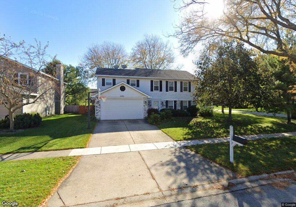
1353 Rose Blvd Buffalo Grove, IL 60089
South Buffalo Grove NeighborhoodEstimated Value: $527,235 - $615,000
4
Beds
3
Baths
1,961
Sq Ft
$281/Sq Ft
Est. Value
About This Home
This home is located at 1353 Rose Blvd, Buffalo Grove, IL 60089 and is currently estimated at $551,309, approximately $281 per square foot. 1353 Rose Blvd is a home located in Cook County with nearby schools including Henry W Longfellow Elementary School, Cooper Middle School, and Buffalo Grove High School.
Ownership History
Date
Name
Owned For
Owner Type
Purchase Details
Closed on
Mar 10, 2008
Sold by
Biba Michael R and Biba Nancy M
Bought by
Deguzman Carlo and Deguzman Melissa
Current Estimated Value
Home Financials for this Owner
Home Financials are based on the most recent Mortgage that was taken out on this home.
Original Mortgage
$240,000
Outstanding Balance
$152,381
Interest Rate
6.1%
Mortgage Type
Unknown
Estimated Equity
$398,928
Create a Home Valuation Report for This Property
The Home Valuation Report is an in-depth analysis detailing your home's value as well as a comparison with similar homes in the area
Home Values in the Area
Average Home Value in this Area
Purchase History
| Date | Buyer | Sale Price | Title Company |
|---|---|---|---|
| Deguzman Carlo | $387,000 | Cti |
Source: Public Records
Mortgage History
| Date | Status | Borrower | Loan Amount |
|---|---|---|---|
| Open | Deguzman Carlo | $240,000 |
Source: Public Records
Tax History Compared to Growth
Tax History
| Year | Tax Paid | Tax Assessment Tax Assessment Total Assessment is a certain percentage of the fair market value that is determined by local assessors to be the total taxable value of land and additions on the property. | Land | Improvement |
|---|---|---|---|---|
| 2024 | $10,781 | $37,001 | $10,005 | $26,996 |
| 2023 | $10,340 | $37,001 | $10,005 | $26,996 |
| 2022 | $10,340 | $37,001 | $10,005 | $26,996 |
| 2021 | $10,315 | $32,527 | $5,684 | $26,843 |
| 2020 | $10,116 | $32,527 | $5,684 | $26,843 |
| 2019 | $10,166 | $36,263 | $5,684 | $30,579 |
| 2018 | $11,166 | $35,858 | $5,002 | $30,856 |
| 2017 | $10,981 | $35,858 | $5,002 | $30,856 |
| 2016 | $10,967 | $37,415 | $5,002 | $32,413 |
| 2015 | $11,013 | $35,039 | $4,320 | $30,719 |
| 2014 | $10,848 | $35,039 | $4,320 | $30,719 |
| 2013 | $10,010 | $35,039 | $4,320 | $30,719 |
Source: Public Records
Map
Nearby Homes
- 751 W Happfield Dr Unit 30
- 715 W Happfield Dr
- 705 Grove Dr Unit 101
- 715 W Whiting Ln
- 812 W Whiting Ln
- 811 W Nichols Rd
- 720 Weidner Rd Unit 302
- 921 Bernard Dr
- 859 Beechwood Rd
- 6 Villa Verde Dr Unit 103
- 571 Estate Dr
- 813 Stradford Cir Unit 21B2
- 535 Estate Dr
- 820 Weidner Rd Unit 4013
- 820 Weidner Rd Unit 409
- 18 E Heritage Ct
- 3227 N Heritage Ln
- 1115 Miller Ln Unit 104
- 3222 N Heritage Ln
- 972 Thornton Ln Unit 102
- 1351 Rose Blvd
- 1349 Rose Blvd
- 1401 Rose Blvd
- 522 W Happfield Dr Unit 1313AR
- 522 W Happfield Dr Unit 13A
- 522 W Happfield Dr Unit 522
- 522 W Happfield Dr Unit 13A
- 520 W Happfield Dr Unit 1313BR
- 524 W Happfield Dr Unit 1313CR
- 478 W Happfield Dr Unit 1010B
- 478 W Happfield Dr
- 478 W Happfield Dr Unit 10B
- 476 W Happfield Dr Unit 1010AL
- 476 W Happfield Dr Unit 10AL
- 1352 Rose Blvd
- 474 W Happfield Dr Unit 1010CL
- 526 W Happfield Dr Unit 1313CC
- 528 W Happfield Dr Unit 1313CC
- 528 W Happfield Dr Unit 528
- 472 W Happfield Dr Unit 1010DL