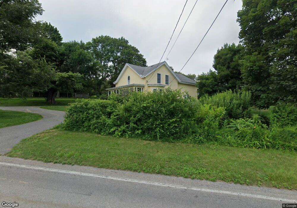
1353 Wapping Rd Middletown, RI 02842
Estimated Value: $1,330,971 - $1,624,000
4
Beds
3
Baths
2,800
Sq Ft
$526/Sq Ft
Est. Value
About This Home
This home is located at 1353 Wapping Rd, Middletown, RI 02842 and is currently estimated at $1,471,493, approximately $525 per square foot. 1353 Wapping Rd is a home located in Newport County with nearby schools including Middletown High School, The Pennfield School, and St George's School.
Ownership History
Date
Name
Owned For
Owner Type
Purchase Details
Closed on
Aug 18, 2004
Sold by
Allen Bruce
Bought by
Eadie Douglas
Current Estimated Value
Create a Home Valuation Report for This Property
The Home Valuation Report is an in-depth analysis detailing your home's value as well as a comparison with similar homes in the area
Home Values in the Area
Average Home Value in this Area
Purchase History
We collect this data history from publicly available records. To have your information removed, we recommend requesting removal directly through your county’s website.
| Date | Buyer | Sale Price | Title Company |
|---|---|---|---|
| Eadie Douglas | $650,000 | -- |
Source: Public Records
Mortgage History
We collect this data history from publicly available records. To have your information removed, we recommend requesting removal directly through your county’s website.
| Date | Status | Borrower | Loan Amount |
|---|---|---|---|
| Open | Eadie Douglas | $83,800 | |
| Closed | Eadie Douglas | $63,800 |
Source: Public Records
Tax History
| Year | Tax Paid | Tax Assessment Tax Assessment Total Assessment is a certain percentage of the fair market value that is determined by local assessors to be the total taxable value of land and additions on the property. | Land | Improvement |
|---|---|---|---|---|
| 2025 | $12,750 | $1,081,400 | $501,700 | $579,700 |
| 2024 | $12,177 | $1,081,400 | $501,700 | $579,700 |
| 2023 | $8,309 | $660,000 | $261,000 | $399,000 |
| 2022 | $7,933 | $660,000 | $261,000 | $399,000 |
| 2021 | $7,933 | $660,000 | $261,000 | $399,000 |
| 2020 | $7,124 | $517,700 | $199,700 | $318,000 |
| 2018 | $7,118 | $517,700 | $199,700 | $318,000 |
| 2016 | $7,528 | $488,200 | $172,600 | $315,600 |
| 2015 | $7,343 | $488,200 | $172,600 | $315,600 |
| 2014 | $7,248 | $451,000 | $156,900 | $294,100 |
| 2013 | $7,085 | $451,000 | $156,900 | $294,100 |
Source: Public Records
Map
Nearby Homes
- 6 Baldwin Rd
- 100 Summerfield Ln
- 56 Summerfield Ln
- 58 Vaucluse Ave
- 515 Indian Ave
- 424 3rd Beach Rd
- 980 Green End Ave
- 11 Saltwood Farm Rd
- 180 Cottontail Dr
- 0 Indian Ave
- 70 Carter Dr
- 223 Corey Ln
- 213 Corey Ln
- 141 Gray Craig Rd
- 99 Meadowlark Ln
- 16 Ward Ave
- 45 Harvey Rd
- 362 Bramans Ln
- 599 E Main Rd
- 429 Forest Ave
- 27 Peckham Ln
- 1340 Wapping Rd
- 0 Peckham Ln Unit 71310159
- 0 Peckham Ln Unit 996879
- 0 Peckham Ln Unit 1226790
- 0 Peckham Ln Unit 1131606
- 0 Peckham Ln Unit 1005285
- 35 Peckham Ln
- 4 Baldwin Rd
- 1367 Wapping Rd
- 1317 Wapping Rd
- 1312 Wapping Rd
- 21 Old Mill Ln
- 1372 Wapping Rd
- 3 Bartlett Rd
- 51 Peckham Ln
- 26 Peckham Ln
- 1305 Wapping Rd
- 28 Peckham Ln
- 5 Bartlett Rd
Your Personal Tour Guide
Ask me questions while you tour the home.