13539 Maple Bottom Dr Unionville, VA 22567
Estimated Value: $389,000 - $808,545
3
Beds
3
Baths
4,942
Sq Ft
$125/Sq Ft
Est. Value
About This Home
This home is located at 13539 Maple Bottom Dr, Unionville, VA 22567 and is currently estimated at $619,848, approximately $125 per square foot. 13539 Maple Bottom Dr is a home located in Orange County with nearby schools including Unionville Elementary School, Lightfoot Elementary School, and Locust Grove Middle School.
Ownership History
Date
Name
Owned For
Owner Type
Purchase Details
Closed on
Sep 29, 2021
Sold by
Dickerson Sondra Lynn
Bought by
Dickerson Sondra Lynn and Grapin Mark W
Current Estimated Value
Home Financials for this Owner
Home Financials are based on the most recent Mortgage that was taken out on this home.
Original Mortgage
$350,000
Outstanding Balance
$317,779
Interest Rate
2.8%
Mortgage Type
New Conventional
Estimated Equity
$302,069
Purchase Details
Closed on
Dec 19, 2005
Sold by
Smart John S and Ware William F
Bought by
Striker Development Llc
Create a Home Valuation Report for This Property
The Home Valuation Report is an in-depth analysis detailing your home's value as well as a comparison with similar homes in the area
Home Values in the Area
Average Home Value in this Area
Purchase History
| Date | Buyer | Sale Price | Title Company |
|---|---|---|---|
| Dickerson Sondra Lynn | -- | None Available | |
| Striker Development Llc | $235,100 | None Available |
Source: Public Records
Mortgage History
| Date | Status | Borrower | Loan Amount |
|---|---|---|---|
| Open | Dickerson Sondra Lynn | $350,000 |
Source: Public Records
Tax History Compared to Growth
Tax History
| Year | Tax Paid | Tax Assessment Tax Assessment Total Assessment is a certain percentage of the fair market value that is determined by local assessors to be the total taxable value of land and additions on the property. | Land | Improvement |
|---|---|---|---|---|
| 2025 | $3,692 | $488,100 | $101,200 | $386,900 |
| 2024 | $3,692 | $488,100 | $101,200 | $386,900 |
| 2023 | $3,692 | $488,100 | $101,200 | $386,900 |
| 2022 | $3,692 | $488,100 | $101,200 | $386,900 |
| 2021 | $3,544 | $492,200 | $101,200 | $391,000 |
| 2020 | $3,544 | $492,200 | $101,200 | $391,000 |
| 2019 | $2,968 | $369,200 | $101,200 | $268,000 |
| 2018 | $2,968 | $369,200 | $101,200 | $268,000 |
| 2017 | $2,968 | $369,200 | $101,200 | $268,000 |
| 2016 | $2,968 | $369,200 | $101,200 | $268,000 |
| 2015 | -- | $406,700 | $151,900 | $254,800 |
| 2014 | -- | $228,300 | $151,900 | $76,400 |
Source: Public Records
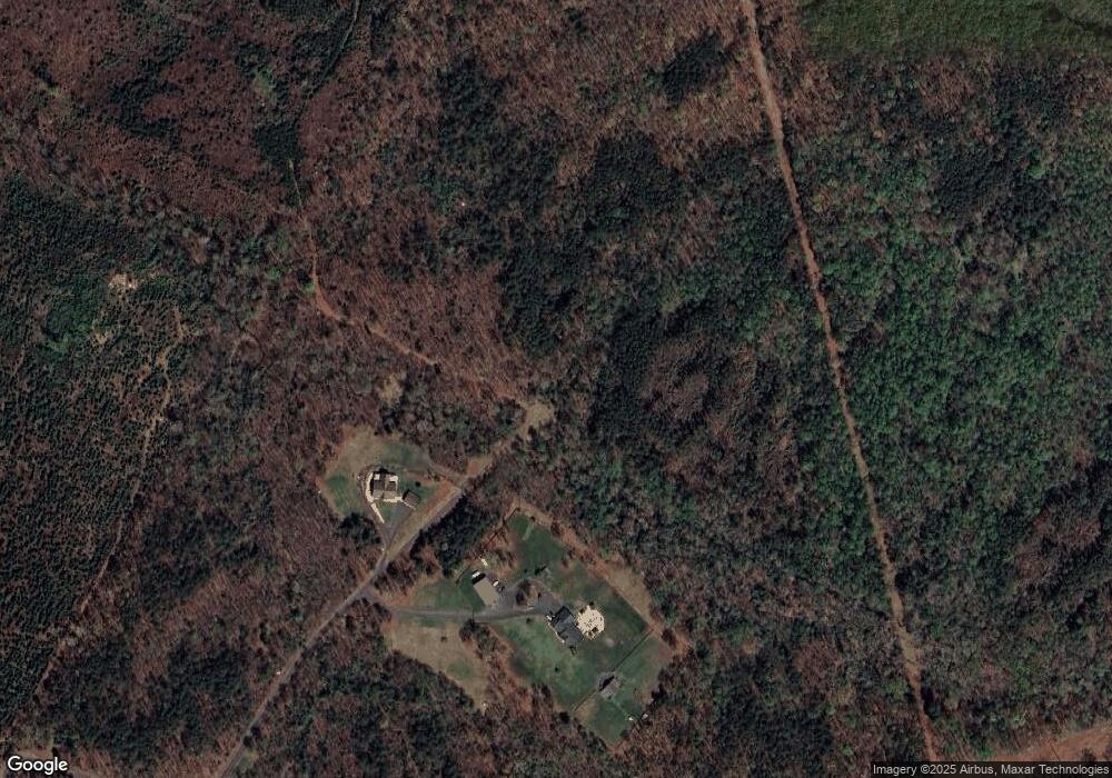
Map
Nearby Homes
- 0 Tatum Rd Unit VAOR2012338
- 0 Tatum Rd Unit VAOR2012374
- 0 Tatum Rd Unit VAOR2012342
- 0 Tatum Rd Unit VAOR2012344
- 0 Tatum Rd Unit VAOR2012378
- 0 Tatum Rd Unit VAOR2012340
- 0 Tatum Rd Unit VAOR2012346
- 0 St Just Rd Unit VAOR2012836
- 12400 Orchard St
- 0 Orchard St
- 11370 Woodland Dr
- 9500 Jarrell Ln
- 0 W Dr Unit VASP2035350
- 31055 Lumber Rd
- 27520 Tatum Rd
- 9000 Fox Run Dr
- 15281 Shirley Rd
- 0 Tinder Ln
- 8410 Shirley Rd
- 27036 Tatum Rd
- 13512 Maple Bottom Dr
- 13349 Durango Ln
- 13377 Durango Ln
- 29561 Tatum Rd
- 13401 Durango Ln
- 13500 St Just Rd
- 29253 Hicks Rd
- 13454 St Just Rd
- 29423 Tatum Rd
- 13440 St Just Rd
- 13420 St Just Rd
- 13524 St Just Rd
- 13575 St Just Rd
- 13374 St Just Rd
- 13374 St Just Rd
- 29373 Tatum Rd
- 13414 St Just Rd
- 29453 Tatum Rd
- 29481 Tatum Rd
- 13265 St Just Rd