Estimated Value: $237,430 - $273,000
3
Beds
2
Baths
936
Sq Ft
$277/Sq Ft
Est. Value
About This Home
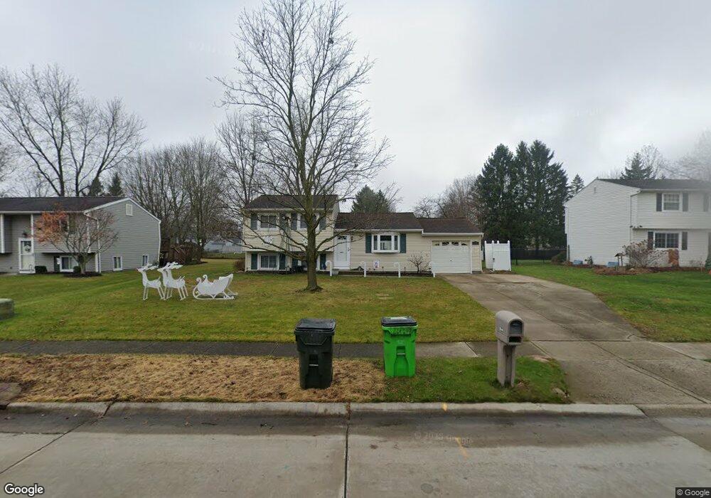
This home is located at 1354 Cherokee Trail, Stow, OH 44224 and is currently estimated at $259,608, approximately $277 per square foot. 1354 Cherokee Trail is a home located in Summit County with nearby schools including Stow-Munroe Falls High School, Primrose School of Hudson, and Holy Family Elementary School.
Ownership History
Date
Name
Owned For
Owner Type
Purchase Details
Closed on
Apr 13, 1999
Sold by
West Michael E and West Debra J
Bought by
Alberta Robert A and Alberta Sharon A
Current Estimated Value
Home Financials for this Owner
Home Financials are based on the most recent Mortgage that was taken out on this home.
Original Mortgage
$122,342
Outstanding Balance
$31,134
Interest Rate
7.1%
Mortgage Type
FHA
Estimated Equity
$228,474
Create a Home Valuation Report for This Property
The Home Valuation Report is an in-depth analysis detailing your home's value as well as a comparison with similar homes in the area
Home Values in the Area
Average Home Value in this Area
Purchase History
| Date | Buyer | Sale Price | Title Company |
|---|---|---|---|
| Alberta Robert A | $123,000 | Endress/Lawyers Title |
Source: Public Records
Mortgage History
| Date | Status | Borrower | Loan Amount |
|---|---|---|---|
| Open | Alberta Robert A | $122,342 |
Source: Public Records
Tax History Compared to Growth
Tax History
| Year | Tax Paid | Tax Assessment Tax Assessment Total Assessment is a certain percentage of the fair market value that is determined by local assessors to be the total taxable value of land and additions on the property. | Land | Improvement |
|---|---|---|---|---|
| 2025 | $3,674 | $64,876 | $11,830 | $53,046 |
| 2024 | $3,674 | $64,876 | $11,830 | $53,046 |
| 2023 | $3,674 | $64,876 | $11,830 | $53,046 |
| 2022 | $3,212 | $50,001 | $9,100 | $40,901 |
| 2021 | $2,878 | $50,001 | $9,100 | $40,901 |
| 2020 | $2,829 | $50,000 | $9,100 | $40,900 |
| 2019 | $2,752 | $45,450 | $9,100 | $36,350 |
| 2018 | $2,708 | $45,450 | $9,100 | $36,350 |
| 2017 | $2,475 | $45,450 | $9,100 | $36,350 |
| 2016 | $2,547 | $40,300 | $9,100 | $31,200 |
| 2015 | $2,475 | $40,300 | $9,100 | $31,200 |
| 2014 | $2,477 | $40,300 | $9,100 | $31,200 |
| 2013 | $2,484 | $40,670 | $9,100 | $31,570 |
Source: Public Records
Map
Nearby Homes
- 0 Hibbard Dr
- 1470 Mac Dr
- 1511 Apollo Dr
- V/L Housley Rd
- 4877 Cedar Crest Ln
- 4891 Cedar Crest Ln
- 1808 Higby Dr Unit A
- 1525 Spruce Hill Dr
- V/L Lawnmark Dr
- 1664 Cypress Ct
- 1668 Cypress Ct
- 1627 Cypress Ct
- 1938 Higby Dr
- 4630 Red Willow Rd
- 1620 Sapphire Dr
- 4321 Leewood Rd
- 4145 Darrow Rd
- 1884 Village Ct Unit X66
- V/L Diplomat Dr
- 4024 Glenrich Cir
- 1348 Cherokee Trail
- 1362 Cherokee Trail
- 1370 Cherokee Trail
- 1342 Cherokee Trail
- 1351 Hibbard Dr
- 1359 Hibbard Dr
- 1355 Cherokee Trail
- 1363 Cherokee Trail
- 1347 Cherokee Trail
- 1343 Hibbard Dr
- 1367 Hibbard Dr
- 1336 Cherokee Trail
- 5025 Commanche Trail
- 1339 Cherokee Trail
- 1335 Hibbard Dr
- 5041 Commanche Trail
- 5041 Comanche Trail
- 5005 Commanche Trail
- 1331 Cherokee Trail
- 1328 Cherokee Trail