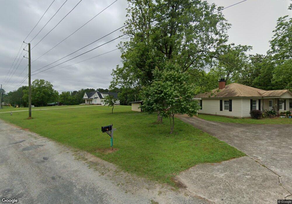
1354 Hardage Rd Forsyth, GA 31029
Estimated Value: $841,000
--
Bed
1
Bath
1,050
Sq Ft
$801/Sq Ft
Est. Value
About This Home
This home is located at 1354 Hardage Rd, Forsyth, GA 31029 and is currently estimated at $841,000, approximately $800 per square foot. 1354 Hardage Rd is a home located in Monroe County with nearby schools including T.G. Scott Elementary School, Mary Persons High School, and Monroe Academy.
Ownership History
Date
Name
Owned For
Owner Type
Purchase Details
Closed on
Aug 5, 2020
Sold by
Jones Marty R
Bought by
Taylor Melissa Leigh
Current Estimated Value
Purchase Details
Closed on
Jan 28, 2020
Sold by
Jones Charlie A
Bought by
Jones Henry W
Purchase Details
Closed on
Jan 17, 2020
Sold by
Jones Henry W
Bought by
Jones Marty R and Jones Wendy D
Purchase Details
Closed on
Nov 14, 2017
Sold by
Jones Charles A
Bought by
Taylor Melissa L
Purchase Details
Closed on
Mar 12, 2015
Sold by
Jones Charlie A
Bought by
Jones Jimmy
Purchase Details
Closed on
Jul 31, 2008
Sold by
Jones Charlie A
Bought by
Jones Marty R and Jones Wendy D
Purchase Details
Closed on
Dec 13, 1971
Sold by
Brown Helen J Mrs and Jackson Walter L
Bought by
Jones Charlie A
Create a Home Valuation Report for This Property
The Home Valuation Report is an in-depth analysis detailing your home's value as well as a comparison with similar homes in the area
Home Values in the Area
Average Home Value in this Area
Purchase History
| Date | Buyer | Sale Price | Title Company |
|---|---|---|---|
| Taylor Melissa Leigh | -- | -- | |
| Taylor Melissa Leigh | -- | -- | |
| Jones Henry W | -- | -- | |
| Jones Marty R | -- | -- | |
| Taylor Melissa L | -- | -- | |
| Lemon Ashley M | -- | -- | |
| Jones Jimmy | -- | -- | |
| Jones Marty R | -- | -- | |
| Jones Charlie A | $19,000 | -- |
Source: Public Records
Tax History Compared to Growth
Tax History
| Year | Tax Paid | Tax Assessment Tax Assessment Total Assessment is a certain percentage of the fair market value that is determined by local assessors to be the total taxable value of land and additions on the property. | Land | Improvement |
|---|---|---|---|---|
| 2024 | $89 | $43,720 | $43,720 | $0 |
| 2023 | $84 | $43,720 | $43,720 | $0 |
| 2022 | $79 | $43,720 | $43,720 | $0 |
| 2021 | $79 | $43,720 | $43,720 | $0 |
| 2020 | $79 | $59,680 | $59,680 | $0 |
| 2019 | $77 | $59,680 | $59,680 | $0 |
| 2018 | $75 | $59,680 | $59,680 | $0 |
| 2017 | $1,830 | $62,960 | $53,720 | $9,240 |
| 2016 | -- | $62,960 | $53,720 | $9,240 |
| 2015 | $0 | $64,480 | $55,240 | $9,240 |
| 2014 | $0 | $64,480 | $55,240 | $9,240 |
Source: Public Records
Map
Nearby Homes
- 153 Jackson Dr
- 22 Rabon Dr
- 131 Hawthorne Ln
- 125 Hawthorne Ln
- 155 Hawthorne Ln
- 1550 Charlie Benson Rd
- 311 Clover Pass
- 312 Clover Pass
- 243 Copper Crossing
- 122 Laurel Ridge
- 34 Kyndall Ln
- 98 Adam Dr
- 88 Adam Dr
- 149 Presidents Way
- 0 Benson Ham Rd Unit OUTPARCEL 1 10551782
- 0 Benson Ham Rd Unit OUTPARCEL 2 10558340
- 2022 Highway 41 N
- TRACTS 1 & 5 Old Rumble Rd
- TRACTS 2-4 Old Rumble Rd
- 100 Gardens
- 1340 Hardage Rd
- 30 Bunn Rd
- 1300 Hardage Rd
- 10 Laurel Ridge
- 10 Laurel Ridge
- 761 Bunn Rd
- 20 Laurel Ridge
- 90 Bunn Rd
- 1379 Highway 41 S
- 30 Laurel Ridge
- 1379 U S 41
- 1215 Highway 41 S
- Lot 31 Laurel Ridge
- Lot 9 Laurel Ridge
- Lot 8 Laurel Ridge
- Lot 7 Laurel Ridge
- Lot 6 Laurel Ridge
- Lot 5 Laurel Ridge
- Lot 3 Laurel Ridge
- Lot 1 Laurel Ridge