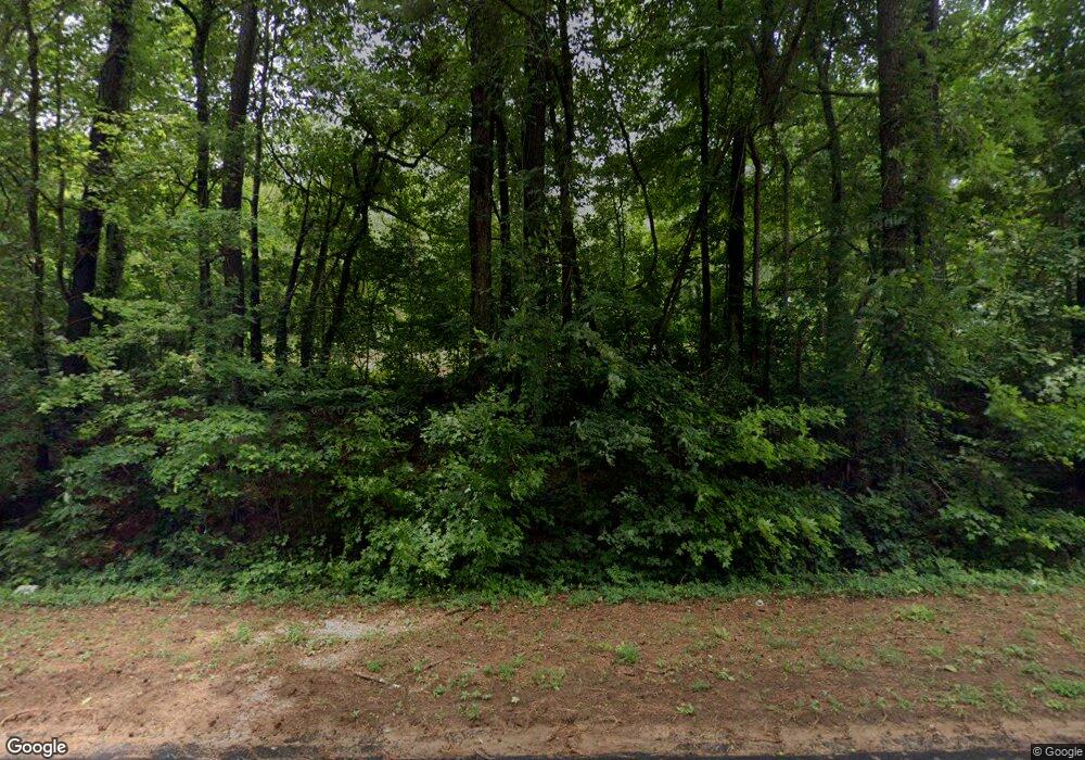
1354 Michael Rd Monroe, GA 30656
Estimated Value: $219,000 - $418,000
--
Bed
--
Bath
1,006
Sq Ft
$320/Sq Ft
Est. Value
About This Home
This home is located at 1354 Michael Rd, Monroe, GA 30656 and is currently estimated at $321,677, approximately $319 per square foot. 1354 Michael Rd is a home located in Walton County with nearby schools including Monroe Elementary School, Carver Middle School, and Monroe Area High School.
Ownership History
Date
Name
Owned For
Owner Type
Purchase Details
Closed on
Jul 25, 2024
Sold by
Paradise Way Llc
Bought by
Ha Paradise Rural Llc
Current Estimated Value
Purchase Details
Closed on
Dec 31, 2021
Sold by
H A Walton County Llc
Bought by
Paradise Way Llc
Purchase Details
Closed on
Jul 15, 2020
Sold by
Vinson Linda H
Bought by
H A Walton Llc
Purchase Details
Closed on
Dec 1, 2005
Sold by
Hinton George
Bought by
Vinson Linda H
Create a Home Valuation Report for This Property
The Home Valuation Report is an in-depth analysis detailing your home's value as well as a comparison with similar homes in the area
Home Values in the Area
Average Home Value in this Area
Purchase History
| Date | Buyer | Sale Price | Title Company |
|---|---|---|---|
| Ha Paradise Rural Llc | -- | -- | |
| Paradise Way Llc | -- | -- | |
| Paradise Way Llc | -- | -- | |
| H A Walton Llc | $83,000 | -- | |
| Vinson Linda H | -- | -- |
Source: Public Records
Tax History Compared to Growth
Tax History
| Year | Tax Paid | Tax Assessment Tax Assessment Total Assessment is a certain percentage of the fair market value that is determined by local assessors to be the total taxable value of land and additions on the property. | Land | Improvement |
|---|---|---|---|---|
| 2024 | $2,696 | $91,448 | $49,600 | $41,848 |
| 2023 | $1,569 | $51,728 | $41,572 | $10,156 |
| 2022 | $1,636 | $51,728 | $42,440 | $9,288 |
| 2021 | $1,082 | $40,688 | $32,960 | $7,728 |
| 2020 | $1,208 | $36,168 | $28,600 | $7,568 |
| 2019 | $1,119 | $33,048 | $25,440 | $7,608 |
| 2018 | $1,105 | $33,048 | $25,440 | $7,608 |
| 2017 | $1,132 | $32,848 | $25,440 | $7,408 |
| 2016 | $868 | $25,568 | $19,040 | $6,528 |
| 2015 | $896 | $25,968 | $19,720 | $6,248 |
| 2014 | -- | $22,928 | $17,120 | $5,808 |
Source: Public Records
Map
Nearby Homes
- 1370 Michael Rd
- 2955 Hearn Rd NW
- 2033 Seclusion Trail
- 1811 Michael Rd
- 2032 Seclusion Trail
- 1580 Lakeland Dr
- 1412 Palmer Dr
- 1849 Bradley Gin Rd
- 782 Michael Rd
- 1537 Lakeland Dr
- 885 Cattle Barn Rd
- 3279 Tommy Dillard Rd
- 1186 Emmas Path
- 2500 Old Athens Hwy
- 0 Hearn Rd NW Unit 10647785
- TRACT 8 Bradley Gin Rd
- TRACT 4 Bradley Gin Rd
- TRACT 2 Bradley Gin Rd
- TRACT 6 Bradley Gin Rd
- 1370 Michael Rd NW
- 1301 Michael Rd NW
- 1352 Michael Rd
- 1393 Michael Rd NW
- 1270 Michael Rd
- 3315 Ike Stone Rd NW
- 3315 Ike Stone Rd NW
- 1449 Michael Rd
- 1450 Michael Rd
- 3285 Ike Stone Rd NW
- 1211 Michael Rd
- 3310 Ike Stone Rd
- Lot 10 Michael Rd
- Lot 9 Michael Rd
- 3215 Ike Stone Rd
- 1354 Michael Rd NW
- 003 Michael Rd NW
- 001 Michael Rd NW
- 002 Michael Rd NW
- 1485 Michael Rd
