Estimated Value: $439,000 - $602,000
2
Beds
1
Bath
1,200
Sq Ft
$420/Sq Ft
Est. Value
About This Home
This home is located at 13540 16 Mile Rd, Gowen, MI 49326 and is currently estimated at $504,347, approximately $420 per square foot. 13540 16 Mile Rd is a home located in Kent County with nearby schools including Greenville Senior High School.
Ownership History
Date
Name
Owned For
Owner Type
Purchase Details
Closed on
Jul 31, 2018
Sold by
Michael And Marilyn Mcgahey Living Trust
Bought by
Schrauben James and Schrauben Nancy
Current Estimated Value
Purchase Details
Closed on
Mar 31, 2010
Sold by
Mcgahey Michael J and Mcgahey Marilyn A
Bought by
Mcgahey Michael J and Mcgahey Marilyn A
Purchase Details
Closed on
Mar 7, 2008
Sold by
Mcgahey Michael and Mcgahey Marilyn
Bought by
Mcgahey Michael and Mcgahey Marilyn
Home Financials for this Owner
Home Financials are based on the most recent Mortgage that was taken out on this home.
Original Mortgage
$99,000
Interest Rate
4.87%
Mortgage Type
New Conventional
Purchase Details
Closed on
Apr 22, 2003
Sold by
Straatsma Thomas E and Straatsma Kathleen M
Bought by
Mcgahey Michael and Mcgahey Marlyn
Home Financials for this Owner
Home Financials are based on the most recent Mortgage that was taken out on this home.
Original Mortgage
$100,000
Interest Rate
4.5%
Mortgage Type
Unknown
Create a Home Valuation Report for This Property
The Home Valuation Report is an in-depth analysis detailing your home's value as well as a comparison with similar homes in the area
Home Values in the Area
Average Home Value in this Area
Purchase History
| Date | Buyer | Sale Price | Title Company |
|---|---|---|---|
| Schrauben James | $189,000 | Acker Title Co | |
| Mcgahey Michael J | -- | None Available | |
| Mcgahey Michael | -- | None Available | |
| Mcgahey Michael | $153,000 | Crowne Title Agency |
Source: Public Records
Mortgage History
| Date | Status | Borrower | Loan Amount |
|---|---|---|---|
| Previous Owner | Mcgahey Michael | $99,000 | |
| Previous Owner | Mcgahey Michael | $100,000 |
Source: Public Records
Tax History Compared to Growth
Tax History
| Year | Tax Paid | Tax Assessment Tax Assessment Total Assessment is a certain percentage of the fair market value that is determined by local assessors to be the total taxable value of land and additions on the property. | Land | Improvement |
|---|---|---|---|---|
| 2025 | $2,130 | $271,000 | $0 | $0 |
| 2024 | $2,130 | $256,300 | $0 | $0 |
| 2023 | $903 | $127,600 | $0 | $0 |
| 2022 | $2,142 | $91,400 | $0 | $0 |
| 2021 | $2,100 | $87,500 | $0 | $0 |
| 2020 | $674 | $73,100 | $0 | $0 |
| 2019 | $3,151 | $64,100 | $0 | $0 |
| 2018 | $2,896 | $63,100 | $0 | $0 |
| 2017 | $2,757 | $58,500 | $0 | $0 |
| 2016 | $2,777 | $57,500 | $0 | $0 |
| 2015 | -- | $57,500 | $0 | $0 |
| 2013 | -- | $55,300 | $0 | $0 |
Source: Public Records
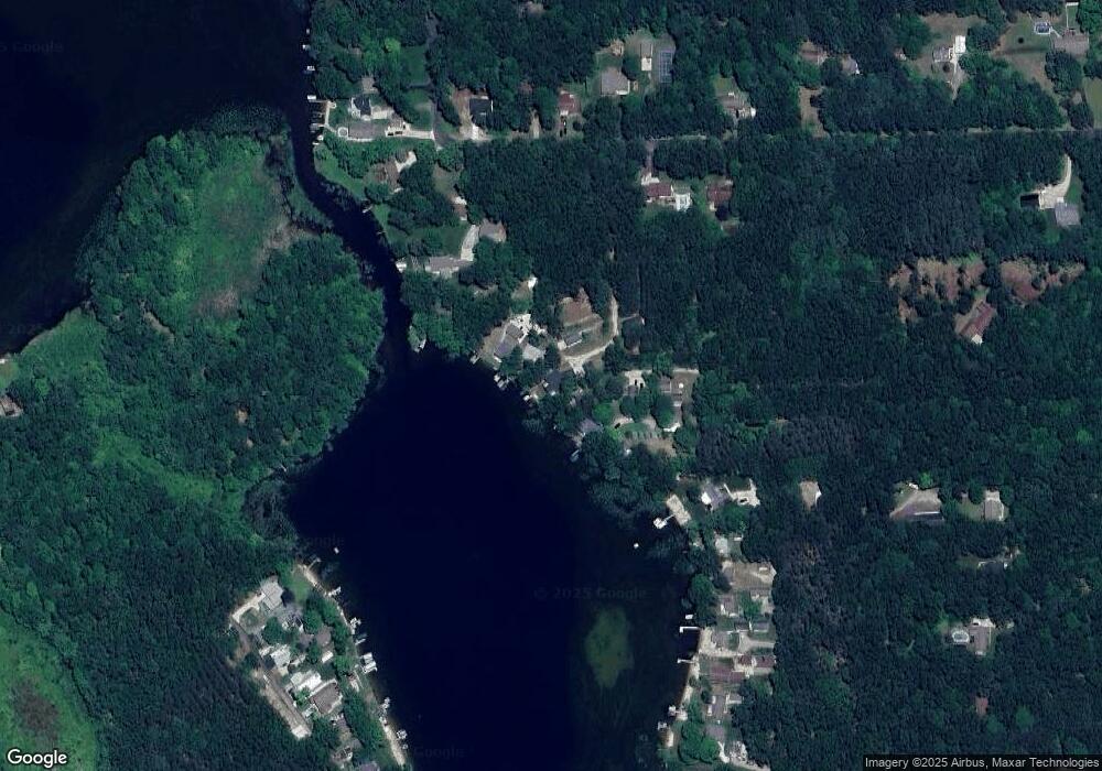
Map
Nearby Homes
- 12961 Hilltop Dr NE
- 13483 Oakcrest Ave NE
- 13796 MacClain St NE
- 12487 Horseshoe Dr NE
- 13435 Stacey St NE
- 13113 Pinewood St NE
- 12808 Lincoln Lake Ave NE
- 13478 NE Windy Craig Dr
- 11350 Meadow Wood Cir Unit 14
- 7264 High Timber Dr
- 11834 W Carson City Rd Unit 11832
- 7436 High Timber Dr
- 10767 Green Timber Dr
- 11737 W Carson City Rd
- 4751 S Johnson Rd
- 10345 Morgan Mills Ave NE
- 11507 W Carson City Rd
- 13722 Sand Hill Ave
- 10588 W Harlow Rd
- Parcel A W County Line Rd
- 13530 16 Mile Rd
- 13123 Morgan Mills Ave
- 13520 16 Mile Rd
- 13113 Morgan Mills Ave
- 13101 Morgan Mills Ave
- 13510 16 Mile Rd
- 13494 16 Mile Rd
- 13087 Banks Lake Rd
- 13600 16 Mile Rd
- 13071 Banks Lake Rd
- 13500 16 Mile Rd
- 10769 16 Mile Rd NE
- 0 16 Mile Rd NE Unit LOT 1
- 13516 16 Mile Rd NE Unit 20
- 0 16 Mile Rd NE
- 117 Banks Lake Rd
- 121 Banks Lake Rd
- 13063 Banks Lake Rd
- 13620 16 Mile Rd
- 13562 16 Mile Rd