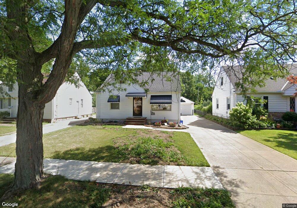
1355 Caryl Dr Bedford, OH 44146
Estimated Value: $129,481 - $182,000
3
Beds
1
Bath
1,092
Sq Ft
$138/Sq Ft
Est. Value
About This Home
This home is located at 1355 Caryl Dr, Bedford, OH 44146 and is currently estimated at $150,870, approximately $138 per square foot. 1355 Caryl Dr is a home located in Cuyahoga County with nearby schools including Heskett Middle School, Bedford High School, and Ohio College Preparatory School.
Ownership History
Date
Name
Owned For
Owner Type
Purchase Details
Closed on
Aug 13, 2002
Sold by
Sentowsky Stanley J and Sentowsky Patricia E
Bought by
Sentowsky Darcy
Current Estimated Value
Purchase Details
Closed on
Feb 9, 2000
Sold by
Sentowsky Stanley and Sentowsky Patricia E
Bought by
Sentowsky Stanley J and Sentowsky Patricia E
Purchase Details
Closed on
Mar 29, 1985
Sold by
Sentowsky Stanley and P E
Bought by
Stanley Sentowsky
Purchase Details
Closed on
Jan 1, 1975
Bought by
Sentowsky Stanley and P E
Create a Home Valuation Report for This Property
The Home Valuation Report is an in-depth analysis detailing your home's value as well as a comparison with similar homes in the area
Home Values in the Area
Average Home Value in this Area
Purchase History
| Date | Buyer | Sale Price | Title Company |
|---|---|---|---|
| Sentowsky Darcy | -- | -- | |
| Sentowsky Stanley J | -- | -- | |
| Stanley Sentowsky | -- | -- | |
| Sentowsky Stanley | -- | -- |
Source: Public Records
Tax History
| Year | Tax Paid | Tax Assessment Tax Assessment Total Assessment is a certain percentage of the fair market value that is determined by local assessors to be the total taxable value of land and additions on the property. | Land | Improvement |
|---|---|---|---|---|
| 2024 | $3,253 | $41,895 | $8,785 | $33,110 |
| 2023 | $3,115 | $34,650 | $7,490 | $27,160 |
| 2022 | $2,756 | $34,650 | $7,490 | $27,160 |
| 2021 | $2,676 | $34,650 | $7,490 | $27,160 |
| 2020 | $2,515 | $29,120 | $6,300 | $22,820 |
| 2019 | $2,450 | $83,200 | $18,000 | $65,200 |
| 2018 | $2,295 | $29,120 | $6,300 | $22,820 |
| 2017 | $2,182 | $24,440 | $5,780 | $18,660 |
| 2016 | $2,164 | $24,440 | $5,780 | $18,660 |
| 2015 | $2,157 | $24,440 | $5,780 | $18,660 |
| 2014 | $2,157 | $26,570 | $6,270 | $20,300 |
Source: Public Records
Map
Nearby Homes
- 172 Best St
- 141 Best St
- 48 William St
- 33 William St
- 43 Forbes Rd
- 7263 Free Ave
- 7222 Grove Ave
- 7228 Grove Ave
- 45 1st Ave
- 6569 Pau Ct
- 6538 Pau Ct
- 24880 Ridgeline Dr
- 24910 Ridgeline Dr
- 70 Union St
- 25105 Booker Ave
- 7310 Lamson Rd
- 25602 Buckthorn Rd
- 25644 Buckthorn Rd
- 25686 Buckthorn Rd
- 6280 Eldridge Blvd