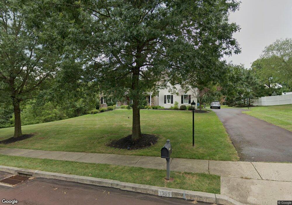
1355 Michael Way Lansdale, PA 19446
Estimated Value: $894,000 - $1,125,000
5
Beds
4
Baths
5,422
Sq Ft
$191/Sq Ft
Est. Value
About This Home
This home is located at 1355 Michael Way, Lansdale, PA 19446 and is currently estimated at $1,037,556, approximately $191 per square foot. 1355 Michael Way is a home located in Montgomery County with nearby schools including Walton Farm El School, Pennfield Middle School, and North Penn Senior High School.
Ownership History
Date
Name
Owned For
Owner Type
Purchase Details
Closed on
Nov 24, 2009
Sold by
Colantonio Carol Ann and Colantonio Anthony J
Bought by
Carickhoff Amy and Carickhoff Richard
Current Estimated Value
Home Financials for this Owner
Home Financials are based on the most recent Mortgage that was taken out on this home.
Original Mortgage
$400,000
Outstanding Balance
$261,451
Interest Rate
5.02%
Estimated Equity
$776,105
Create a Home Valuation Report for This Property
The Home Valuation Report is an in-depth analysis detailing your home's value as well as a comparison with similar homes in the area
Home Values in the Area
Average Home Value in this Area
Purchase History
| Date | Buyer | Sale Price | Title Company |
|---|---|---|---|
| Carickhoff Amy | $675,000 | None Available |
Source: Public Records
Mortgage History
| Date | Status | Borrower | Loan Amount |
|---|---|---|---|
| Open | Carickhoff Amy | $400,000 | |
| Closed | Carickhoff Amy | $150,000 |
Source: Public Records
Tax History Compared to Growth
Tax History
| Year | Tax Paid | Tax Assessment Tax Assessment Total Assessment is a certain percentage of the fair market value that is determined by local assessors to be the total taxable value of land and additions on the property. | Land | Improvement |
|---|---|---|---|---|
| 2025 | $13,407 | $331,000 | -- | -- |
| 2024 | $13,407 | $331,000 | -- | -- |
| 2023 | $12,838 | $331,000 | $0 | $0 |
| 2022 | $11,796 | $324,000 | $0 | $0 |
| 2021 | $11,455 | $324,000 | $0 | $0 |
| 2020 | $10,936 | $324,000 | $0 | $0 |
| 2019 | $10,746 | $324,000 | $0 | $0 |
| 2018 | $2,481 | $324,000 | $0 | $0 |
| 2017 | $10,318 | $324,000 | $0 | $0 |
| 2016 | $10,192 | $324,000 | $0 | $0 |
| 2015 | $9,766 | $324,000 | $0 | $0 |
| 2014 | $9,766 | $324,000 | $0 | $0 |
Source: Public Records
Map
Nearby Homes
- 907A Stockton Ct
- 1511 Susan Dr
- 502 Clarella Ct
- 113 Clemens Ct
- 25 Chestnut Ct E
- 10 Bentwood Ct W
- 1131 Walnut Ln
- 1512 Tennis Cir
- 1653 Bridle Path Dr
- 11 Elder Ct
- 109 Durham Ct
- 103 Newport Ct
- 2 Newbury Way
- 144 Oberlin Terrace Unit 15-B
- 1109 Walnut Ln Unit 59
- 1825 Flintlock Cir
- 128 Wellington Terrace
- 633 Conestoga Ln
- 405 Militia Dr
- 705 Continental Dr
- 1357 Michael Way
- 1485 Maxwell Ct
- 1487 Maxwell Ct
- 1344 Michael Way
- 1484 Maxwell Ct
- 1486 Maxwell Ct
- 1342 Michael Way
- 1353 Michael Way
- 1491 Maxwell Ct
- 1499 Sumneytown Pike
- 1346 Michael Way
- 1488 Maxwell Ct
- 1540 Dean Dr
- 1331 Village Way
- 1341 Village Way
- 1541 Dean Dr
- 1340 Michael Way
- 1361 Michael Way
- 1351 Village Way
- 1544 Dean Dr