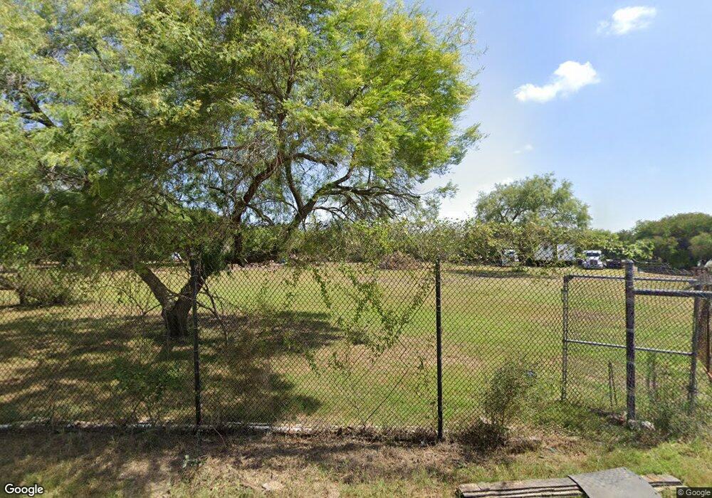
1355 N Indiana Ave Unit 3.85 ACRES Brownsville, TX 78521
Southmost Brownsville NeighborhoodEstimated Value: $196,470 - $309,000
--
Bed
--
Bath
1,152
Sq Ft
$226/Sq Ft
Est. Value
About This Home
This home is located at 1355 N Indiana Ave Unit 3.85 ACRES, Brownsville, TX 78521 and is currently estimated at $259,868, approximately $225 per square foot. 1355 N Indiana Ave Unit 3.85 ACRES is a home located in Cameron County with nearby schools including Brite Elementary School, Senator Eddie A. Lucio Jr Middle School, and Lopez Early College High School.
Ownership History
Date
Name
Owned For
Owner Type
Purchase Details
Closed on
Sep 24, 2021
Sold by
Hoskins Mark and Hoskins Mary Teresa
Bought by
Rubio Fernando and Barrientes Jennifer Lee
Current Estimated Value
Home Financials for this Owner
Home Financials are based on the most recent Mortgage that was taken out on this home.
Original Mortgage
$165,200
Outstanding Balance
$139,111
Interest Rate
2.8%
Mortgage Type
Seller Take Back
Estimated Equity
$120,757
Create a Home Valuation Report for This Property
The Home Valuation Report is an in-depth analysis detailing your home's value as well as a comparison with similar homes in the area
Home Values in the Area
Average Home Value in this Area
Purchase History
| Date | Buyer | Sale Price | Title Company |
|---|---|---|---|
| Rubio Fernando | -- | None Available |
Source: Public Records
Mortgage History
| Date | Status | Borrower | Loan Amount |
|---|---|---|---|
| Open | Rubio Fernando | $165,200 |
Source: Public Records
Tax History Compared to Growth
Tax History
| Year | Tax Paid | Tax Assessment Tax Assessment Total Assessment is a certain percentage of the fair market value that is determined by local assessors to be the total taxable value of land and additions on the property. | Land | Improvement |
|---|---|---|---|---|
| 2025 | $2,900 | $166,283 | $123,488 | $42,795 |
| 2024 | $2,900 | $166,595 | $123,488 | $43,107 |
| 2023 | $2,938 | $166,906 | $123,488 | $43,418 |
| 2022 | $3,089 | $155,638 | $123,488 | $32,150 |
| 2021 | $2,645 | $133,694 | $123,488 | $10,206 |
| 2020 | $2,677 | $134,104 | $123,488 | $10,616 |
| 2019 | $2,760 | $134,514 | $123,488 | $11,026 |
| 2018 | $2,765 | $134,925 | $123,488 | $11,437 |
| 2017 | $2,545 | $131,803 | $123,488 | $8,315 |
| 2016 | $2,550 | $132,095 | $123,488 | $8,607 |
| 2015 | $1,182 | $70,284 | $61,238 | $9,046 |
Source: Public Records
Map
Nearby Homes
- 1224 Illinois Ave N
- 1261 N Illinois Ave
- 1850 N Indiana Ave
- 0000 N Illinois Ave
- 00 Houston Rd
- 0 Houston Rd Unit 29766709
- 0000 Milam Rd
- 1820 N Vermillion Ave
- 0 Bonham Rd
- 7125 Houston Rd
- 7125 Houston Rd Unit 24
- 43852 Red Valley Ave
- 6806 Greystone Dr
- 2088 Carranza St
- 1121 Guadalupe Cir
- 43929 Red Valley Ave
- 6841 Tallowood Cir
- 6580 Vista Jardin Cir
- 7133 Saint Louis St
- 6620 Simon Place
- 1345 N Indiana Ave
- 1407 N Indiana Ave
- 1419 N Indiana Ave
- 1305 N Indiana Ave
- 1305 N Indiana Ave
- 1253 N Indiana Ave
- 1213 N Indiana Ave
- 1415 N Indiana Ave
- 1207 N Indiana Ave
- 1145 N Indiana Ave
- 7436 Maryland Rd
- 7436 Maryland Ave
- 0000 Maryland Rd
- 0 Maryland Rd
- 7645 Maryland Ave
- 1712 N Indiana Ave
- 7595 Maryland Ave
- 1714 N Indiana Ave
- 1710 N Indiana Ave Unit 4
- 1701 N Indiana Ave
