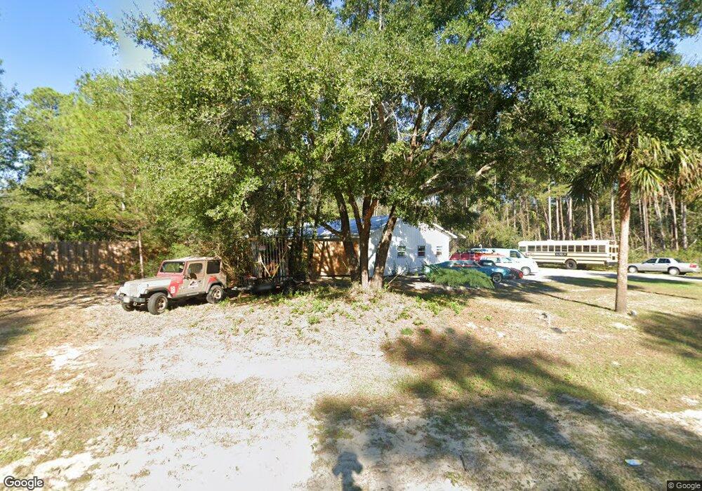
1355 State Highway 20 E Freeport, FL 32439
Estimated Value: $385,536
Studio
1
Bath
1,680
Sq Ft
$229/Sq Ft
Est. Value
About This Home
This home is located at 1355 State Highway 20 E, Freeport, FL 32439 and is currently estimated at $385,536, approximately $229 per square foot. 1355 State Highway 20 E is a home located in Walton County with nearby schools including Freeport Elementary School, Freeport Middle School, and Freeport Senior High School.
Ownership History
Date
Name
Owned For
Owner Type
Purchase Details
Closed on
Mar 17, 2021
Sold by
Wyss Richard and Wyss Joan
Bought by
Burnett Sophia A and Second Amended & Restated Tr A
Current Estimated Value
Purchase Details
Closed on
Feb 25, 2014
Sold by
Robinson Rodney H
Bought by
Wyss Richard and Wyss Joan
Purchase Details
Closed on
Feb 27, 2009
Sold by
Wyss Richard
Bought by
Robinson Rodney H
Home Financials for this Owner
Home Financials are based on the most recent Mortgage that was taken out on this home.
Original Mortgage
$250,548
Interest Rate
4%
Mortgage Type
Commercial
Purchase Details
Closed on
May 21, 2003
Sold by
Chancellor Sherry Fowler
Bought by
Wyss Richard
Create a Home Valuation Report for This Property
The Home Valuation Report is an in-depth analysis detailing your home's value as well as a comparison with similar homes in the area
Home Values in the Area
Average Home Value in this Area
Purchase History
| Date | Buyer | Sale Price | Title Company |
|---|---|---|---|
| Burnett Sophia A | $284,600 | Mcneese Title Llc | |
| Wyss Richard | $250,000 | Attorney | |
| Robinson Rodney H | $250,600 | Moulton Land Title Inc | |
| Wyss Richard | $48,000 | -- |
Source: Public Records
Mortgage History
| Date | Status | Borrower | Loan Amount |
|---|---|---|---|
| Previous Owner | Robinson Rodney H | $250,548 |
Source: Public Records
Tax History
| Year | Tax Paid | Tax Assessment Tax Assessment Total Assessment is a certain percentage of the fair market value that is determined by local assessors to be the total taxable value of land and additions on the property. | Land | Improvement |
|---|---|---|---|---|
| 2025 | $3,667 | $290,502 | $195,114 | $95,388 |
| 2024 | $3,680 | $291,692 | $195,114 | $96,578 |
| 2023 | $3,680 | $280,750 | $195,114 | $85,636 |
| 2022 | $3,363 | $261,909 | $216,577 | $45,332 |
| 2021 | $797 | $59,200 | $27,520 | $31,680 |
| 2020 | $775 | $56,280 | $26,981 | $29,299 |
| 2019 | $770 | $56,146 | $26,195 | $29,951 |
| 2018 | $735 | $53,380 | $0 | $0 |
| 2017 | $731 | $52,928 | $24,934 | $27,994 |
| 2016 | $724 | $53,225 | $0 | $0 |
| 2015 | $736 | $53,521 | $0 | $0 |
| 2014 | $717 | $51,604 | $0 | $0 |
Source: Public Records
Map
Nearby Homes
- 16463 Us Highway 331 S
- Lot X Old Jolly Bay Ln
- 10 Sandywoods Ct
- LOT 8 BLK S Marsh Landing
- 88 Marsh Landing S
- 779 State Rd
- Highway 20 State Rd
- 3002 State Rd
- 3717 State Rd
- 941 State Rd
- 150 Marquis Way
- tbd S Marsh Landing
- Lot 1 Marsh Landing S
- 236 Marsh Landing N
- 226 Marsh Landing N
- Lot 9 Marquis Way
- Lot 11 Marquis Way
- lot 5 Lafayette Creek
- 777 Marquis Way
- 477 Marquis Way
- TBD E Highway 20
- 1320 State Highway 20 E
- 1417 State Highway 20 E
- 1310 State Highway 20 E
- 1417 Florida 20
- 1358 State Highway 20 E
- 357 Joe Campbell Rd
- 1234 Florida 20
- 1232 Florida 20
- 1232 State Highway 20 E
- 0.86 Acres State Hwy 20
- FL Hwy 20
- TBD Joe Campbell Rd
- 266 Joe Campbell Rd
- 270 Joe Campbell Rd
- 0 Highway 20 Unit 367155
- 0 Highway 20 Unit 360646
- 0 Highway 20 Unit 353622
- 0 Highway 20 Unit 359554
- 0 Highway 20 Unit 372118
Your Personal Tour Guide
Ask me questions while you tour the home.