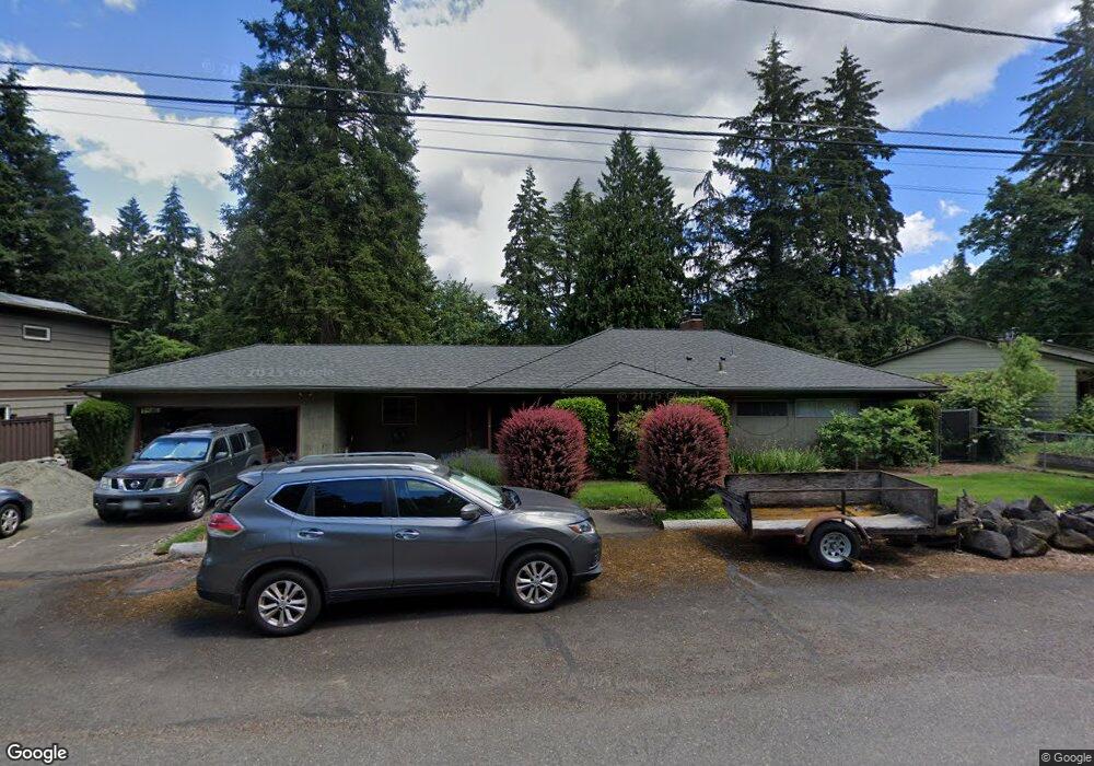
1355 SW Maplecrest Dr Portland, OR 97219
Marshall Park NeighborhoodEstimated Value: $755,000 - $941,000
2
Beds
3
Baths
1,577
Sq Ft
$549/Sq Ft
Est. Value
About This Home
This home is located at 1355 SW Maplecrest Dr, Portland, OR 97219 and is currently estimated at $865,238, approximately $548 per square foot. 1355 SW Maplecrest Dr is a home located in Multnomah County with nearby schools including Stephenson Elementary School, Jackson Middle School, and Ida B. Wells-Barnett High School.
Ownership History
Date
Name
Owned For
Owner Type
Purchase Details
Closed on
Jan 18, 2008
Sold by
Layne Richard A
Bought by
Delance Kathleen A and Delance John M
Current Estimated Value
Home Financials for this Owner
Home Financials are based on the most recent Mortgage that was taken out on this home.
Original Mortgage
$256,000
Outstanding Balance
$160,269
Interest Rate
6.09%
Mortgage Type
Purchase Money Mortgage
Estimated Equity
$704,969
Purchase Details
Closed on
Jun 11, 1996
Sold by
Layne Merlin V
Bought by
Layne Merlin and Merlin V Layne Revocable Living Trust
Create a Home Valuation Report for This Property
The Home Valuation Report is an in-depth analysis detailing your home's value as well as a comparison with similar homes in the area
Home Values in the Area
Average Home Value in this Area
Purchase History
| Date | Buyer | Sale Price | Title Company |
|---|---|---|---|
| Delance Kathleen A | $408,000 | Chicago Title Insurance Co | |
| Layne Merlin | -- | -- |
Source: Public Records
Mortgage History
| Date | Status | Borrower | Loan Amount |
|---|---|---|---|
| Open | Delance Kathleen A | $256,000 |
Source: Public Records
Tax History Compared to Growth
Tax History
| Year | Tax Paid | Tax Assessment Tax Assessment Total Assessment is a certain percentage of the fair market value that is determined by local assessors to be the total taxable value of land and additions on the property. | Land | Improvement |
|---|---|---|---|---|
| 2025 | $10,215 | $379,470 | -- | -- |
| 2024 | $9,848 | $368,420 | -- | -- |
| 2023 | $9,469 | $357,690 | $0 | $0 |
| 2022 | $9,264 | $347,280 | $0 | $0 |
| 2021 | $9,108 | $337,170 | $0 | $0 |
| 2020 | $8,355 | $327,350 | $0 | $0 |
| 2019 | $8,047 | $317,820 | $0 | $0 |
| 2018 | $7,811 | $308,570 | $0 | $0 |
| 2017 | $7,486 | $299,590 | $0 | $0 |
| 2016 | $6,851 | $290,870 | $0 | $0 |
| 2015 | $6,671 | $282,400 | $0 | $0 |
| 2014 | $6,570 | $274,180 | $0 | $0 |
Source: Public Records
Map
Nearby Homes
- 1620 SW Maplecrest Dr
- 10850 SW Creightonwood Place
- 0 SW Lancaster Rd Unit 722439051
- 0 SW Lancaster Rd Unit 540028719
- 9375 SW 8th Ave
- 9341 SW 8th Ave
- 9855 SW 25th Ave
- 1035 SW Palatine St
- 1845 SW Taylors Ferry Rd
- 0 SW Taylors Ferry Ct Unit 171663449
- 1345 SW Taylors Ferry Ct
- 9320 SW Boones Ferry Rd
- 2249 SW Taylors Ferry Rd
- 9224 SW 26th Ave
- 8921 SW 7th Ave
- 2731 SW 28th Dr
- 1515 SW Carson St
- 1323 SW Carson St
- 9818 SW 34th Place
- 9822 SW 34th Place
- 1387 SW Maplecrest Dr
- 1321 SW Maplecrest Dr
- 1350 SW Maplecrest Dr
- 1313 SW Maplecrest Dr
- 1378 SW Maplecrest Dr
- 1393 SW Maplecrest Dr
- 1322 SW Maplecrest Dr
- 1322 SW Maplecrest(adjacent) Dr
- 10319 SW 14th Dr
- 10317 SW 14th Dr
- 1390 SW Maplecrest Dr
- 1272 SW Maplecrest Dr
- 1310 SW Maplecrest Dr
- 1409 SW Maplecrest Dr
- 1406 SW Maplecrest Dr
- 10298 SW Lancaster Rd
- 0 SW No Site Address
- 1682 SW Maplecrest Dr
- 10324 SW 14th Dr
- 10321 SW 14th Dr