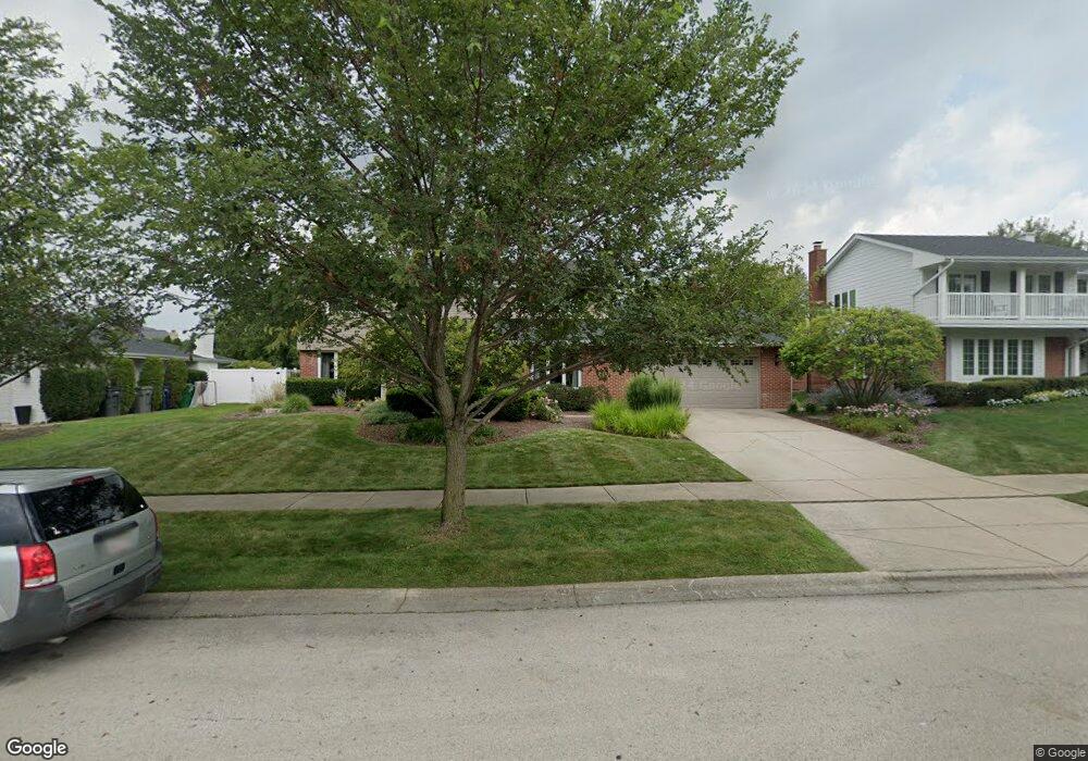
13557 Deerpath Dr Orland Park, IL 60462
Silver Lake North NeighborhoodEstimated Value: $509,000 - $575,000
4
Beds
3
Baths
2,895
Sq Ft
$187/Sq Ft
Est. Value
About This Home
This home is located at 13557 Deerpath Dr, Orland Park, IL 60462 and is currently estimated at $542,773, approximately $187 per square foot. 13557 Deerpath Dr is a home located in Cook County with nearby schools including Prairie Elementary School, Liberty Elementary School, and Jerling Junior High School.
Ownership History
Date
Name
Owned For
Owner Type
Purchase Details
Closed on
Apr 30, 2002
Sold by
Stepansky Pamela M
Bought by
Keane Matthew M and Keane Mary Anne
Current Estimated Value
Home Financials for this Owner
Home Financials are based on the most recent Mortgage that was taken out on this home.
Original Mortgage
$282,717
Outstanding Balance
$115,203
Interest Rate
7%
Estimated Equity
$427,570
Purchase Details
Closed on
Mar 6, 1995
Sold by
Stepansky Ronald J and Stepansky Pamela M
Bought by
Stepansky Pamela M and Pamela M Stepansky 1994 Trust
Create a Home Valuation Report for This Property
The Home Valuation Report is an in-depth analysis detailing your home's value as well as a comparison with similar homes in the area
Home Values in the Area
Average Home Value in this Area
Purchase History
| Date | Buyer | Sale Price | Title Company |
|---|---|---|---|
| Keane Matthew M | $333,000 | Stewart Title | |
| Stepansky Pamela M | -- | -- |
Source: Public Records
Mortgage History
| Date | Status | Borrower | Loan Amount |
|---|---|---|---|
| Open | Keane Matthew M | $282,717 |
Source: Public Records
Tax History
| Year | Tax Paid | Tax Assessment Tax Assessment Total Assessment is a certain percentage of the fair market value that is determined by local assessors to be the total taxable value of land and additions on the property. | Land | Improvement |
|---|---|---|---|---|
| 2025 | $10,682 | $46,000 | $8,160 | $37,840 |
| 2024 | $10,682 | $46,000 | $8,160 | $37,840 |
| 2023 | $10,674 | $46,000 | $8,160 | $37,840 |
| 2022 | $10,674 | $39,053 | $7,072 | $31,981 |
| 2021 | $10,335 | $39,053 | $7,072 | $31,981 |
| 2020 | $10,011 | $39,053 | $7,072 | $31,981 |
| 2019 | $8,497 | $34,386 | $6,528 | $27,858 |
| 2018 | $8,263 | $34,386 | $6,528 | $27,858 |
| 2017 | $8,091 | $34,386 | $6,528 | $27,858 |
| 2016 | $7,775 | $30,360 | $5,984 | $24,376 |
| 2015 | $7,665 | $30,360 | $5,984 | $24,376 |
| 2014 | $7,566 | $30,360 | $5,984 | $24,376 |
| 2013 | $7,919 | $33,525 | $5,984 | $27,541 |
Source: Public Records
Map
Nearby Homes
- 8125 Elizabeth Ave
- 8032 Kirkcaldy Ct
- 8035 Pluskota Dr
- 13561 Mohawk Ln
- 13458 S Westview Dr Unit V4
- 8627 Sunshine Ln
- 8309 W 132nd St
- 13550 86th Ave
- 13147 Windward Trail
- 13200 S 80th Ct
- 13210 S 85th Ave
- 7920 W Lakeview Ct Unit 2B
- 13729 S 88th Ave
- 7930 W Lakeview Ct Unit 1B
- 13159 S Westview Dr Unit 131592
- 7841 W Foresthill Ln Unit 78412
- 13332 S 88th Ave
- 13253 S Oak Ridge Trail Unit 2B
- 8842 Briarwood Ln
- 14236 Brighton Ct Unit 14236
- 13601 Deerpath Dr
- 13549 Deerpath Dr
- 13609 Deerpath Dr
- 13541 Deerpath Dr
- 8225 Red Oak Ln
- 13600 Deerpath Dr Unit 2
- 8153 Pickens Dr
- 13610 Deerpath Dr
- 13531 Deerpath Dr
- 13617 Deerpath Dr
- 8224 Red Oak Ln
- 8231 Red Oak Ln
- 13618 Deerpath Dr
- 8143 Pickens Dr
- 8232 Red Oak Ln
- 13625 Deerpath Dr
- 13532 Palmer Dr
- 13523 Deerpath Dr
- 13607 Arrowhead Ct
- 8241 Red Oak Ln
Your Personal Tour Guide
Ask me questions while you tour the home.