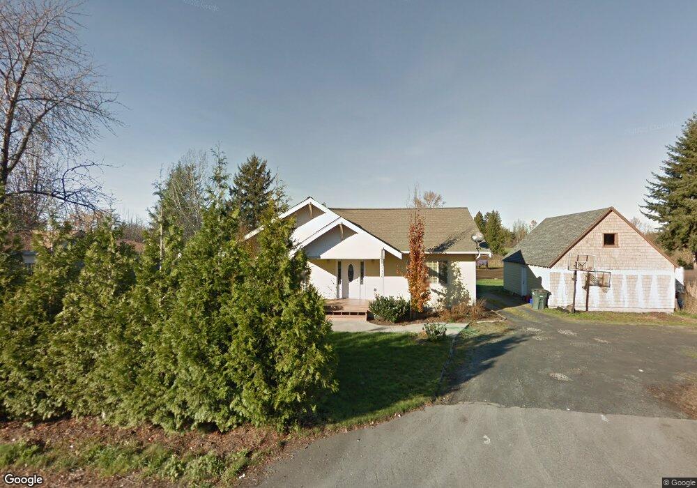
1356 W Axton Rd Ferndale, WA 98248
Estimated Value: $551,000 - $823,000
2
Beds
1
Bath
1,096
Sq Ft
$655/Sq Ft
Est. Value
About This Home
This home is located at 1356 W Axton Rd, Ferndale, WA 98248 and is currently estimated at $717,650, approximately $654 per square foot. 1356 W Axton Rd is a home located in Whatcom County with nearby schools including Cascadia Elementary School, Vista Middle School, and Ferndale High School.
Ownership History
Date
Name
Owned For
Owner Type
Purchase Details
Closed on
Dec 21, 2012
Sold by
Eldred Harold U S and Eldred Judy A
Bought by
Eldred Properties Investments Llc
Current Estimated Value
Purchase Details
Closed on
Aug 17, 2010
Sold by
Nicolaas Richard E
Bought by
Eldred Harold U S and Eldred Judy A
Purchase Details
Closed on
Aug 11, 2010
Sold by
The Estate Of Bernice Van Woudenberg
Bought by
Nicolaas Elmer and Nicolaas Beatrice L
Purchase Details
Closed on
Mar 1, 1974
Sold by
Vanwoudenberg Bernice
Bought by
Nicolaas Elmer and Nicolaas Beatrice L
Create a Home Valuation Report for This Property
The Home Valuation Report is an in-depth analysis detailing your home's value as well as a comparison with similar homes in the area
Home Values in the Area
Average Home Value in this Area
Purchase History
| Date | Buyer | Sale Price | Title Company |
|---|---|---|---|
| Eldred Properties Investments Llc | -- | None Available | |
| Eldred Harold U S | $185,280 | Whatcom Land Title | |
| Nicolaas Elmer | -- | Whatcom Land Title | |
| Nicolaas Elmer | $20,000 | -- |
Source: Public Records
Mortgage History
| Date | Status | Borrower | Loan Amount |
|---|---|---|---|
| Closed | Nicolaas Elmer | $0 |
Source: Public Records
Tax History Compared to Growth
Tax History
| Year | Tax Paid | Tax Assessment Tax Assessment Total Assessment is a certain percentage of the fair market value that is determined by local assessors to be the total taxable value of land and additions on the property. | Land | Improvement |
|---|---|---|---|---|
| 2024 | $5,069 | $688,090 | $301,007 | $387,083 |
| 2023 | $5,069 | $709,495 | $337,300 | $372,195 |
| 2022 | $4,472 | $608,645 | $281,779 | $326,866 |
| 2021 | $4,130 | $483,047 | $223,632 | $259,415 |
| 2020 | $4,226 | $409,361 | $189,518 | $219,843 |
| 2019 | $3,362 | $379,034 | $175,478 | $203,556 |
| 2018 | $3,956 | $345,256 | $159,840 | $185,416 |
| 2017 | $3,675 | $311,041 | $144,000 | $167,041 |
| 2016 | $3,678 | $308,872 | $169,842 | $139,030 |
| 2015 | $3,557 | $308,872 | $169,842 | $139,030 |
| 2014 | -- | $290,505 | $159,742 | $130,763 |
| 2013 | -- | $284,333 | $156,348 | $127,985 |
Source: Public Records
Map
Nearby Homes
- 1371 W Axton Rd
- 1300 W Axton Rd
- 1245 W Axton Rd
- 1142 Deer Creek Ln
- 1655 Main St
- 1411 Woods Point Loop
- 5502 Northwest Dr
- 5400 Barrett Rd
- 5350 Kaitlyn Ct
- 0 W Axton Rd
- 5330 Bel Dr W
- 5306 Myers Dr
- 1333 W Smith Rd
- 5391 La Bounty Dr
- 5295 Graveline Rd
- 5925 Longdin Rd
- 0 Riverside Dr Unit NWM2356867
- 5162 Spoonbill Ln
- 5786 Portal Way
- 5094 Labounty Rd