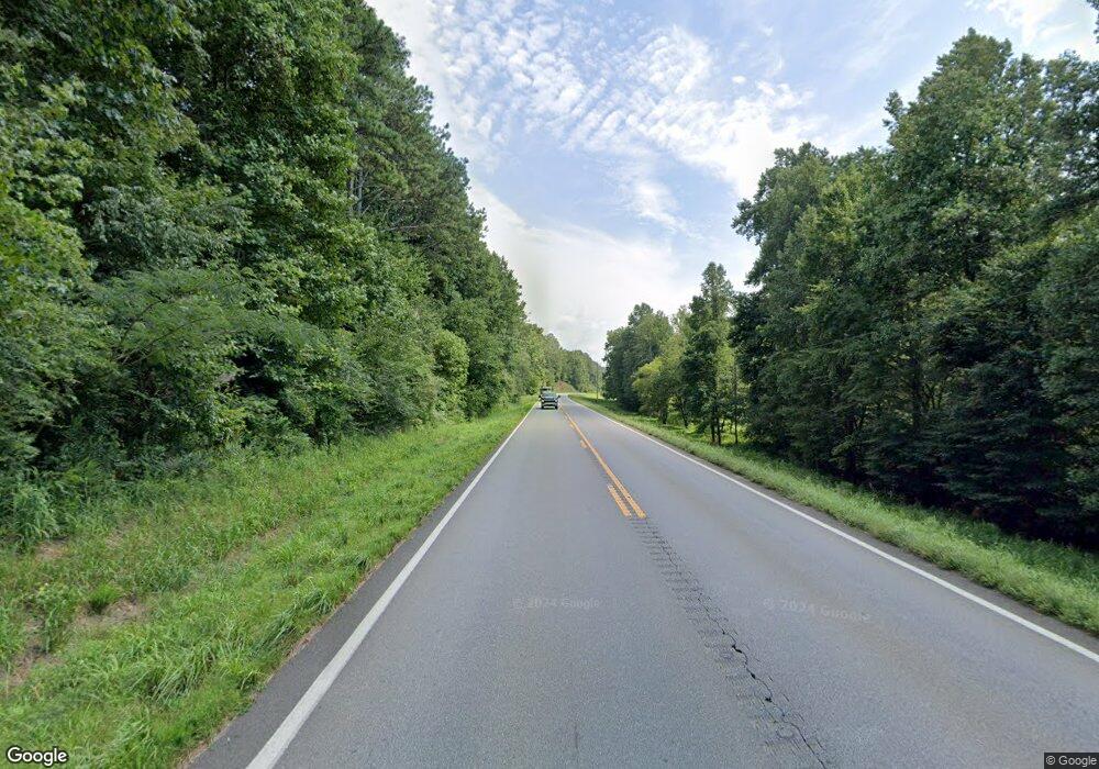
13562 Highway 136 W Talking Rock, GA 30175
Estimated Value: $239,000 - $334,000
3
Beds
2
Baths
1,736
Sq Ft
$162/Sq Ft
Est. Value
About This Home
This home is located at 13562 Highway 136 W, Talking Rock, GA 30175 and is currently estimated at $280,667, approximately $161 per square foot. 13562 Highway 136 W is a home with nearby schools including Ellijay Elementary School, Gilmer Middle School, and Clear Creek Elementary School.
Ownership History
Date
Name
Owned For
Owner Type
Purchase Details
Closed on
May 3, 2024
Sold by
Sanford Martha
Bought by
Hayes Brandy Michelle
Current Estimated Value
Purchase Details
Closed on
Jan 8, 2021
Sold by
Sanford J C
Bought by
Sanford Martha S
Purchase Details
Closed on
Feb 1, 1995
Bought by
Sanford Thomas Samue
Create a Home Valuation Report for This Property
The Home Valuation Report is an in-depth analysis detailing your home's value as well as a comparison with similar homes in the area
Home Values in the Area
Average Home Value in this Area
Purchase History
| Date | Buyer | Sale Price | Title Company |
|---|---|---|---|
| Hayes Brandy Michelle | -- | -- | |
| Sanford Martha S | -- | -- | |
| Sanford Thomas Samue | $6,900 | -- |
Source: Public Records
Tax History Compared to Growth
Tax History
| Year | Tax Paid | Tax Assessment Tax Assessment Total Assessment is a certain percentage of the fair market value that is determined by local assessors to be the total taxable value of land and additions on the property. | Land | Improvement |
|---|---|---|---|---|
| 2025 | $1,406 | $101,648 | $60,480 | $41,168 |
| 2024 | $1,406 | $90,740 | $52,600 | $38,140 |
| 2023 | $1,126 | $70,400 | $42,320 | $28,080 |
| 2022 | $1,204 | $68,400 | $40,320 | $28,080 |
| 2021 | $1,259 | $36,724 | $35,360 | $1,364 |
| 2020 | $1,433 | $35,844 | $34,480 | $1,364 |
| 2019 | $1,467 | $1,396 | $34,480 | $1,396 |
| 2018 | $1,487 | $1,108 | $0 | $1,108 |
| 2017 | $1,556 | $1,152 | $0 | $1,152 |
| 2016 | $1,772 | $72,472 | $34,480 | $37,992 |
| 2015 | $1,071 | $69,436 | $30,120 | $39,316 |
| 2014 | $1,147 | $70,960 | $30,120 | $40,840 |
| 2013 | -- | $71,560 | $30,120 | $41,440 |
Source: Public Records
Map
Nearby Homes
- Lot 04 Blalock Mountain Rd
- LT 108 Blalock Mountain Rd
- LT 103 Blalock Mountain Rd
- LT 123 Blalock Mountain Rd
- Lot 114 Blalock Mountain Rd
- Lot 5 Blalock Mountain Rd
- LT 112 Blalock Mountain Rd
- Lot 20 Blalock Mountain Rd
- LT 195 Blalock Mountain Rd
- 198 Blalock Mountain Rd
- LT 20 Blalock Mountain Rd
- Lot 112 Blalock Mountain Rd
- Lot 195 Blalock Mountain Rd
- Lot 103 Blalock Mountain Rd
- 82 Barrel Knot Ct
- LT 177 Shallow Water Way
- LOT 177 Shallow Water Way
- LT160 Shallow Water Way
- LT 62 Seven Mile Creek Rd
- 198 Log Round Mountain Trail
- 0 Barrell Knot Ct
- 287 Anglers Ridge Rd
- 13811 Highway 136 W
- LT 7 Crayfish Place
- 150 Blalock Mountain Rd
- 152 Blalock Mountain Rd
- L171 Creekside Crossings
- 273 Crump Ln
- 0 Blalock Mountain Rd Unit LOT 152 10407349
- LT 150 Blalock Mountain Rd
- LT 92 Blalock Mountain Rd
- 0 Blalock Mountain Rd Unit 7481317
- Lot 92 Blalock Mountain Rd
- Lot 150R Blalock Mountain Rd
- 14172 Highway 136 W
- 52,63 Crump Ln
- 52.63 ACRES Crump Ln
- 0 Eddy Waters Cir Unit 20149854
- 67 Crump Ln
- 14 Crump Ln
