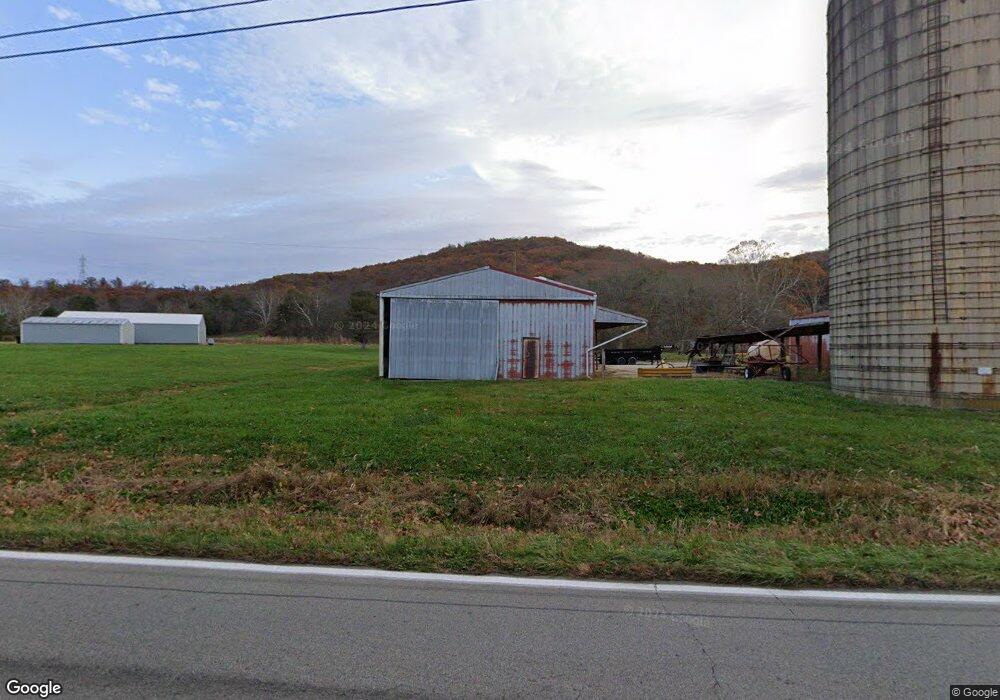
13568 State Route 73 Peebles, OH 45660
Estimated Value: $118,012 - $243,000
5
Beds
1
Bath
2,230
Sq Ft
$84/Sq Ft
Est. Value
About This Home
This home is located at 13568 State Route 73, Peebles, OH 45660 and is currently estimated at $187,004, approximately $83 per square foot. 13568 State Route 73 is a home located in Adams County with nearby schools including Peebles Elementary School and Peebles High School.
Ownership History
Date
Name
Owned For
Owner Type
Purchase Details
Closed on
Nov 7, 2022
Sold by
Neal Jared and Neal Heather
Bought by
Fry Todd
Current Estimated Value
Purchase Details
Closed on
Jul 5, 2022
Sold by
Jr Hall Family Trust
Bought by
Neal Jared and Neal Heather
Purchase Details
Closed on
May 18, 2022
Sold by
Hall John R and Hall Theresa A
Bought by
Jt Hall Family Trust
Purchase Details
Closed on
Jul 2, 2015
Sold by
Hall Theresa A
Bought by
Jt Hall Family Trust
Purchase Details
Closed on
Mar 1, 2000
Sold by
Joseph Kenneth O
Bought by
Joseph Kenneth O
Purchase Details
Closed on
Jan 1, 1990
Bought by
Joseph Kenneth O
Create a Home Valuation Report for This Property
The Home Valuation Report is an in-depth analysis detailing your home's value as well as a comparison with similar homes in the area
Home Values in the Area
Average Home Value in this Area
Purchase History
| Date | Buyer | Sale Price | Title Company |
|---|---|---|---|
| Fry Todd | -- | -- | |
| Neal Jared | -- | Everitt Bryan Matthew | |
| Neal Jared | -- | Everitt Bryan Matthew | |
| Jt Hall Family Trust | -- | Whalen Law Office Llc | |
| Jt Hall Family Trust | -- | None Available | |
| Joseph Kenneth O | -- | -- | |
| Joseph Kenneth O | -- | -- |
Source: Public Records
Tax History Compared to Growth
Tax History
| Year | Tax Paid | Tax Assessment Tax Assessment Total Assessment is a certain percentage of the fair market value that is determined by local assessors to be the total taxable value of land and additions on the property. | Land | Improvement |
|---|---|---|---|---|
| 2024 | $288 | $25,100 | $17,750 | $7,350 |
| 2023 | $552 | $25,100 | $17,750 | $7,350 |
| 2022 | $567 | $19,820 | $13,690 | $6,130 |
| 2021 | $532 | $19,820 | $13,690 | $6,130 |
| 2020 | $543 | $19,820 | $13,690 | $6,130 |
| 2019 | $543 | $19,820 | $13,690 | $6,130 |
| 2018 | $423 | $16,910 | $11,590 | $5,320 |
| 2017 | $417 | $16,910 | $11,590 | $5,320 |
| 2016 | $413 | $16,910 | $11,590 | $5,320 |
| 2015 | $620 | $19,570 | $10,710 | $8,860 |
| 2014 | $613 | $19,570 | $10,710 | $8,860 |
Source: Public Records
Map
Nearby Homes
- 16 Black Hollow Rd
- 0 Black Hollow Rd Unit 1844795
- 250 Poplar Grove Rd
- 1459 Kizzie Run Rd
- 331 Swayne Rd
- 0 Beech Fork Rd Unit 5157055
- 0 Beech Fork Rd Unit 225044315
- 12681 State Route 772
- 12705
- John Ward Rd
- 5810 Steam Furnace Rd
- 20231 State Route 41
- 257 Rarden Rd
- 0 S Side Chenoweth Fork Rd
- 225 Union St
- 135 Union Hill Rd
- 17 S Nixon Ave
- 182 Rarden Rd
- 179 Shoemaker St
- 284 Camp Creek Rd
- 13568 State Route 73
- 13730 State Route 73
- 13504 State Route 73
- 13400 State Route 73
- 13770 State Route 73
- 13770 State Route 73
- 13816 State Route 73
- 13900 State Route 73
- 13900 State Route 73
- 13940 Sr 73
- 595 Jaybird Rd
- 13069 State Route 73
- 12955 State Route 73
- 12547 State Route 73
- 14187 Ohio 73
- 14190 State Route 73
- 0 Coffee Hollow Rd
- 680 Coffee Hollow Rd
- 904 Coffee Hollow Rd
- 935 Coffee Hollow Rd
