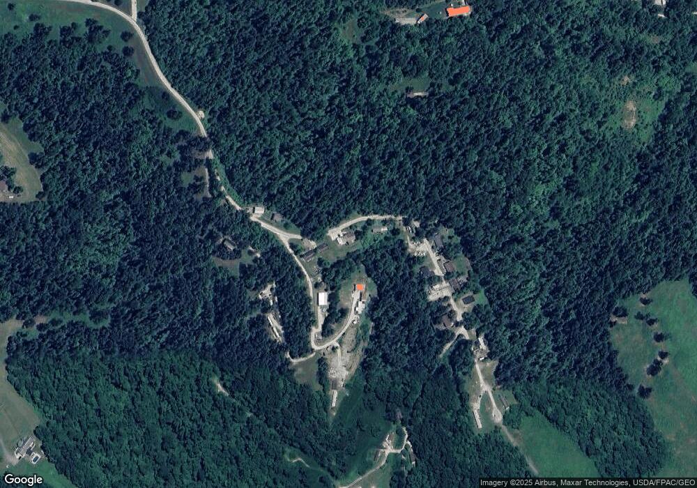
1357 Twp Rd 278 N Chesapeake, OH 45619
Estimated Value: $129,000 - $149,000
4
Beds
2
Baths
1,060
Sq Ft
$132/Sq Ft
Est. Value
About This Home
This home is located at 1357 Twp Rd 278 N, Chesapeake, OH 45619 and is currently estimated at $140,000, approximately $132 per square foot. 1357 Twp Rd 278 N is a home with nearby schools including Chesapeake Elementary School, Chesapeake Middle School, and Chesapeake High School.
Ownership History
Date
Name
Owned For
Owner Type
Purchase Details
Closed on
May 23, 2007
Sold by
Mccallister Terry and Mccallister Terry Rae
Bought by
Moss Shawn D and Moss Erica R
Current Estimated Value
Home Financials for this Owner
Home Financials are based on the most recent Mortgage that was taken out on this home.
Original Mortgage
$79,000
Outstanding Balance
$48,913
Interest Rate
6.5%
Mortgage Type
Purchase Money Mortgage
Estimated Equity
$91,087
Purchase Details
Closed on
May 20, 1998
Sold by
Buckman Bernard A and Buckman Pat
Bought by
Mccallister Terry Rae
Purchase Details
Closed on
May 19, 1988
Sold by
Livingston Donald and Livingston Caro
Bought by
Buckman Bernard A and Buckman Pat
Create a Home Valuation Report for This Property
The Home Valuation Report is an in-depth analysis detailing your home's value as well as a comparison with similar homes in the area
Home Values in the Area
Average Home Value in this Area
Purchase History
| Date | Buyer | Sale Price | Title Company |
|---|---|---|---|
| Moss Shawn D | $79,000 | Bestitle Agency Inc | |
| Mccallister Terry Rae | $60,000 | -- | |
| Buckman Bernard A | $35,000 | -- |
Source: Public Records
Mortgage History
| Date | Status | Borrower | Loan Amount |
|---|---|---|---|
| Open | Moss Shawn D | $79,000 |
Source: Public Records
Tax History Compared to Growth
Tax History
| Year | Tax Paid | Tax Assessment Tax Assessment Total Assessment is a certain percentage of the fair market value that is determined by local assessors to be the total taxable value of land and additions on the property. | Land | Improvement |
|---|---|---|---|---|
| 2024 | -- | $30,540 | $830 | $29,710 |
| 2023 | $879 | $30,540 | $830 | $29,710 |
| 2022 | $877 | $30,540 | $830 | $29,710 |
| 2021 | $851 | $28,460 | $670 | $27,790 |
| 2020 | $866 | $28,460 | $670 | $27,790 |
| 2019 | $865 | $28,460 | $670 | $27,790 |
| 2018 | $871 | $28,460 | $670 | $27,790 |
| 2017 | $871 | $28,460 | $670 | $27,790 |
| 2016 | $809 | $28,460 | $670 | $27,790 |
| 2015 | $800 | $27,900 | $670 | $27,230 |
| 2014 | $799 | $27,900 | $670 | $27,230 |
| 2013 | $799 | $27,900 | $670 | $27,230 |
Source: Public Records
Map
Nearby Homes
- 1149 County Road 35
- 983 County Road 104
- 152 Township Road 1483
- 135 Township Road 85 E
- 101 Township Road 1119
- 81 Township Road 158
- 301 Township Road 158
- 1666 County Road 31
- 3171 County Road 31
- 30 Township Road 1482
- 60 Township Road 1363
- 63 Township Road 1197
- 3493 County Road 31
- 275 Township Road 118
- 109 Private Drive 633
- 11 Platinum Dr
- 80 Township Road 1464
- 421 2nd Ave
- 415 Riverside Dr
- 0 State Route 7
- 436 Township Road 278
- 77 Township Road 1528
- 1418 Twp Rd 278 N
- 1253 Township Road 278
- 1248 Township Road 278
- 201 Private Drive 13751
- 1205 Twp Rd 278 N
- 1210 Township Road 278
- 39 Township Road 1391
- 571 Township Road 278 N
- 585 Township Road 278 N
- 545 Township Road 278 N
- 1056 Township Road 278
- 67 Township Road 1391
- 481 Township Road 299
- 972 Township Road 278
- 810 32
- 1714 Township Road 278
- 1714 Township Road 278
- 894 County Road 35
