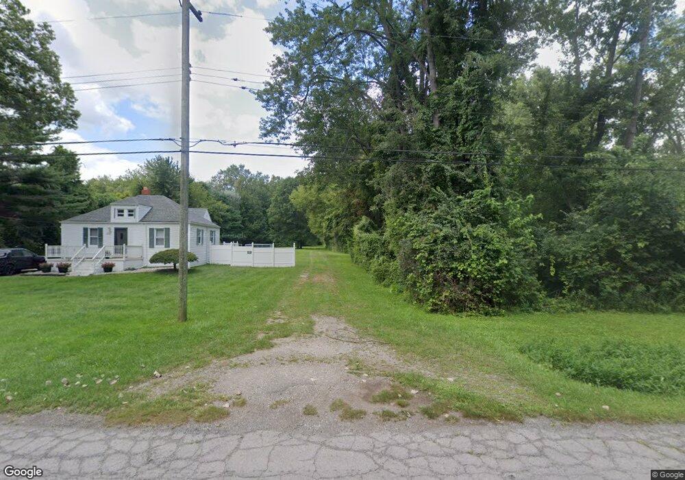
13570 Lange St Taylor, MI 48180
Estimated Value: $42,000 - $322,000
--
Bed
--
Bath
--
Sq Ft
1.97
Acres
About This Home
This home is located at 13570 Lange St, Taylor, MI 48180 and is currently estimated at $182,000. 13570 Lange St is a home located in Wayne County with nearby schools including Holland Elementary School, Hoover Middle School, and Taylor High School.
Ownership History
Date
Name
Owned For
Owner Type
Purchase Details
Closed on
Apr 15, 2016
Sold by
Bartok Robert J
Bought by
Anderson Bryan
Current Estimated Value
Purchase Details
Closed on
Apr 16, 2009
Sold by
Cooke Victor and Cooke Bethany
Bought by
Bartok Robert J
Home Financials for this Owner
Home Financials are based on the most recent Mortgage that was taken out on this home.
Original Mortgage
$115,862
Interest Rate
4.12%
Mortgage Type
FHA
Purchase Details
Closed on
Nov 18, 2008
Sold by
Wojtowicz Raymond J and Charter County Of Wayne
Bought by
Cooke Victor P
Create a Home Valuation Report for This Property
The Home Valuation Report is an in-depth analysis detailing your home's value as well as a comparison with similar homes in the area
Home Values in the Area
Average Home Value in this Area
Purchase History
| Date | Buyer | Sale Price | Title Company |
|---|---|---|---|
| Anderson Bryan | $123,500 | First American Title Ins Co | |
| Bartok Robert J | $3,500 | Attorney | |
| Cooke Victor P | $3,500 | None Available |
Source: Public Records
Mortgage History
| Date | Status | Borrower | Loan Amount |
|---|---|---|---|
| Previous Owner | Bartok Robert J | $115,862 |
Source: Public Records
Tax History Compared to Growth
Tax History
| Year | Tax Paid | Tax Assessment Tax Assessment Total Assessment is a certain percentage of the fair market value that is determined by local assessors to be the total taxable value of land and additions on the property. | Land | Improvement |
|---|---|---|---|---|
| 2025 | $367 | $19,700 | $0 | $0 |
| 2024 | $367 | $14,800 | $0 | $0 |
| 2023 | $442 | $11,100 | $0 | $0 |
| 2022 | $351 | $11,100 | $0 | $0 |
| 2021 | $386 | $11,100 | $0 | $0 |
| 2020 | $382 | $8,300 | $0 | $0 |
| 2019 | $37,948 | $7,200 | $0 | $0 |
| 2018 | $308 | $7,200 | $0 | $0 |
| 2017 | $165 | $7,200 | $0 | $0 |
| 2016 | $394 | $7,200 | $0 | $0 |
| 2015 | $1,760 | $17,600 | $0 | $0 |
| 2013 | $1,760 | $17,600 | $0 | $0 |
| 2012 | $962 | $17,600 | $17,600 | $0 |
Source: Public Records
Map
Nearby Homes
- 13717 Fellrath St
- 13504 Fellrath St
- 13529 Fellrath St
- 00000 Northline Rd
- 13744 Mcguire St
- 13753 Mcguire St
- 26531 Eureka Rd
- 14634 Mcguire St
- 14712 Marvin St
- 14621 New York St
- 14611 Mcguire St
- 13161 Golf Pointe Dr
- 15143 Siebert St
- 15532 Wellington St
- 15626 Wellington St
- 15354 Oldham St
- 15910 Hampden St
- 15684 Mcguire St
- 12000 Inkster Rd
- 15350 Gulley St
- 13932 Lange St
- 13970 Lange St
- 14000 Lange St
- 14014 Lange St
- 13460 Lange St
- 0 Lange St
- 13454 Lange St
- 13410 Lange St
- 13452 Lange St
- 13901 Lange St
- 13402 Lange St
- 13360 Lange St
- 13985 Lange St
- 13455 Lange St
- 13340 Lange St
- 13320 Lange St
- 26667 Northline Rd
- Vacant Lange St
- 13460 Harold St
- 13400 Harold St