13575 E 1120 Rd Stockton, MO 65785
Estimated Value: $323,000 - $412,000
3
Beds
2
Baths
1,456
Sq Ft
$243/Sq Ft
Est. Value
About This Home
This home is located at 13575 E 1120 Rd, Stockton, MO 65785 and is currently estimated at $353,151, approximately $242 per square foot. 13575 E 1120 Rd is a home located in Cedar County with nearby schools including Stockton Elementary School, Stockton Middle School, and Stockton High School.
Ownership History
Date
Name
Owned For
Owner Type
Purchase Details
Closed on
Jun 14, 2023
Sold by
Christine M Blake Revocable Living Trust
Bought by
Blevins Levi
Current Estimated Value
Home Financials for this Owner
Home Financials are based on the most recent Mortgage that was taken out on this home.
Original Mortgage
$230,743
Outstanding Balance
$224,573
Interest Rate
6.39%
Mortgage Type
FHA
Estimated Equity
$128,578
Purchase Details
Closed on
Jul 17, 2017
Sold by
Blake Chris and Blake Christine
Bought by
Blake Christine and Christine M Blake Revocable Living Trus
Create a Home Valuation Report for This Property
The Home Valuation Report is an in-depth analysis detailing your home's value as well as a comparison with similar homes in the area
Home Values in the Area
Average Home Value in this Area
Purchase History
| Date | Buyer | Sale Price | Title Company |
|---|---|---|---|
| Blevins Levi | -- | None Listed On Document | |
| Blake Christine | -- | None Available |
Source: Public Records
Mortgage History
| Date | Status | Borrower | Loan Amount |
|---|---|---|---|
| Open | Blevins Levi | $230,743 |
Source: Public Records
Tax History Compared to Growth
Tax History
| Year | Tax Paid | Tax Assessment Tax Assessment Total Assessment is a certain percentage of the fair market value that is determined by local assessors to be the total taxable value of land and additions on the property. | Land | Improvement |
|---|---|---|---|---|
| 2025 | $822 | $21,370 | $1,160 | $20,210 |
| 2024 | $822 | $18,680 | $1,050 | $17,630 |
| 2023 | $822 | $18,680 | $0 | $0 |
| 2022 | $822 | $18,680 | $0 | $0 |
| 2021 | $790 | $18,680 | $0 | $0 |
| 2020 | $790 | $17,930 | $0 | $0 |
| 2019 | $768 | $17,930 | $0 | $0 |
| 2018 | $765 | $17,950 | $0 | $0 |
| 2017 | -- | $17,950 | $0 | $0 |
| 2016 | -- | $17,950 | $0 | $0 |
| 2015 | -- | $17,950 | $0 | $0 |
| 2014 | -- | $17,930 | $0 | $0 |
| 2013 | -- | $17,930 | $0 | $0 |
Source: Public Records
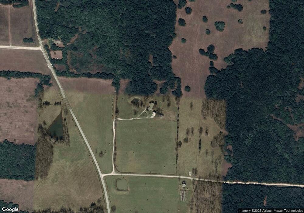
Map
Nearby Homes
- 10665 S 1275 Rd
- 13650 State Highway 39
- 11975 E 1100 Rd
- 11620 S 1215 Rd
- 11998 E Highway 32
- 315 Skyline Dr
- 11998 State Hwy 32
- 708 West St
- 602 W 32 Hwy
- 602 W Highway 32
- 003 E 1400 Rd
- 0000 S 2125 Rd
- 12175 S B Hwy
- 21772 State Highway 32
- 12305 S Highway J
- 000 State Highway 32
- 008 State Highway 32
- 007 State Highway 32
- 006 State Highway 32
- 11861 E 1350 Rd
- 13705 E 1120 Rd
- 11425 S Highway 39
- 11540 S Highway 39
- 11540 S Highway 39
- 10885 S Highway 39
- 13825 E 1120 Rd
- 11650 S Highway 39
- 11650 S Highway 39
- 13981 E 1120 Rd
- 0 Lots 25 & 26 Tangelwood Unit 60030427
- 11761 S Highway 39
- 0 39 Unit 60010574
- 14130 E 1120 Rd
- 12975 E 1100 Rd
- 10535 S Highway 39
- 10855 S 1425 Rd
- 13029 E 1200 Rd
- 10750 S 1275 Rd Lots 16-18
- 10379 S Highway 39
- 0 S 39 Unit 60010542