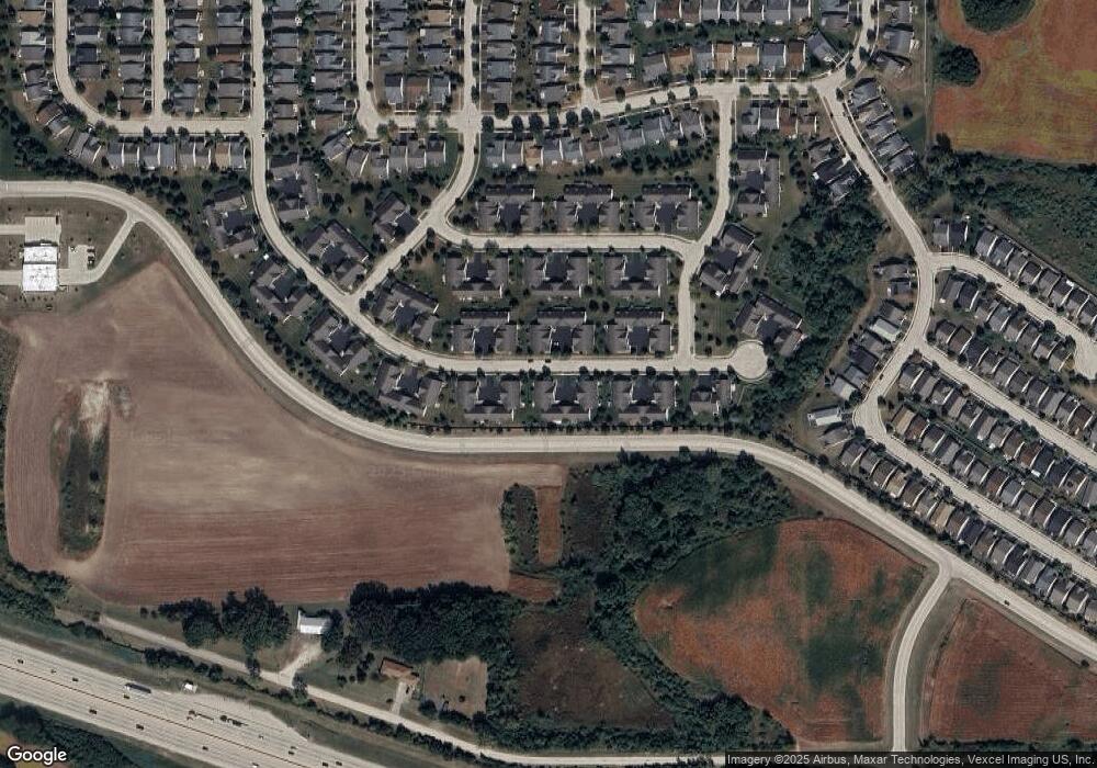
13575 Hemlock Rd Unit 31 Huntley, IL 60142
South Huntley-Kane County NeighborhoodEstimated Value: $284,000 - $291,000
2
Beds
2
Baths
1,190
Sq Ft
$242/Sq Ft
Est. Value
About This Home
This home is located at 13575 Hemlock Rd Unit 31, Huntley, IL 60142 and is currently estimated at $287,866, approximately $241 per square foot. 13575 Hemlock Rd Unit 31 is a home located in Kane County with nearby schools including Leggee Elementary School, Heineman Middle School, and Huntley High School.
Ownership History
Date
Name
Owned For
Owner Type
Purchase Details
Closed on
Sep 3, 2010
Sold by
Brown Earl and Brown Patricia
Bought by
Brown Land Trust #13575
Current Estimated Value
Purchase Details
Closed on
Jul 30, 2010
Sold by
Wheelock Anna and Wheelock Jeffrey Loyal
Bought by
Brown Earl and Brown Patricia
Purchase Details
Closed on
Jan 25, 2007
Sold by
Del Webb Communities Of Illinois Inc
Bought by
Wheelock Philip O and Philip O Wheelock Revocable Trust
Create a Home Valuation Report for This Property
The Home Valuation Report is an in-depth analysis detailing your home's value as well as a comparison with similar homes in the area
Home Values in the Area
Average Home Value in this Area
Purchase History
| Date | Buyer | Sale Price | Title Company |
|---|---|---|---|
| Brown Land Trust #13575 | -- | None Available | |
| Brown Earl | $124,000 | Greater Illinois Title Co | |
| Wheelock Philip O | $165,500 | None Available |
Source: Public Records
Tax History Compared to Growth
Tax History
| Year | Tax Paid | Tax Assessment Tax Assessment Total Assessment is a certain percentage of the fair market value that is determined by local assessors to be the total taxable value of land and additions on the property. | Land | Improvement |
|---|---|---|---|---|
| 2024 | $1,397 | $71,738 | $14,987 | $56,751 |
| 2023 | $1,520 | $64,874 | $13,553 | $51,321 |
| 2022 | $1,993 | $59,814 | $12,496 | $47,318 |
| 2021 | $2,067 | $56,258 | $11,753 | $44,505 |
| 2020 | $2,099 | $54,822 | $11,453 | $43,369 |
| 2019 | $2,076 | $52,617 | $10,992 | $41,625 |
| 2018 | $2,147 | $42,012 | $10,316 | $31,696 |
| 2017 | $2,108 | $40,008 | $9,824 | $30,184 |
| 2016 | $2,057 | $38,089 | $9,353 | $28,736 |
| 2015 | -- | $35,974 | $8,834 | $27,140 |
| 2014 | -- | $36,764 | $8,834 | $27,930 |
| 2013 | -- | $37,438 | $8,996 | $28,442 |
Source: Public Records
Map
Nearby Homes
- 13462 Hemlock Ct
- 13184 Oakwood Ave
- 13053 Dearborn Trail
- 13327 Michigan Ave Unit 1
- 12770 Timber Creek Dr
- 13813 Roosevelt Dr
- 14297 Sundance Dr
- 12598 Wedgemere Dr
- 12524 Castle Rock Dr
- 12562 Bluebell Ave
- 12774 Holbrook Dr
- 12669 Meritage Ct
- 0 Farm Hill Dr
- 2481 Hearthstone Dr
- 14060 Palisades Ave
- 12559 Meritage Ct
- 12303 Fox Run Ct
- 12255 Wildflower Ln
- 12255 Arlington Dr
- 12617 Mulberry Ct
- 13575 Hemlock Rd
- 13571 Hemlock Rd
- 13580 Hemlock Rd
- 13557 Hemlock Rd
- 13567 Hemlock Rd
- 13585 Hemlock Rd
- 13591 Hemlock Rd
- 13551 Hemlock Rd
- 13551 Hemlock Rd Unit 35
- 13550 Hemlock Rd
- 13576 Hemlock Rd
- 13610 Hemlock Rd
- 13556 Hemlock Rd
- 13616 Hemlock Rd
- 13572 Hemlock Rd
- 13562 Hemlock Rd
- 13597 Hemlock Rd
- 13531 Hemlock Rd
- 13531 Hemlock Rd Unit 38
