13575 Vischer Rd Brooklyn, MI 49230
Estimated Value: $314,000 - $387,580
--
Bed
--
Bath
1,430
Sq Ft
$241/Sq Ft
Est. Value
About This Home
This home is located at 13575 Vischer Rd, Brooklyn, MI 49230 and is currently estimated at $344,860, approximately $241 per square foot. 13575 Vischer Rd is a home with nearby schools including Onsted Elementary School, Onsted Middle School, and Onsted Community High School.
Ownership History
Date
Name
Owned For
Owner Type
Purchase Details
Closed on
Jul 1, 2014
Sold by
Vischer Robert P and Vischer Janice
Bought by
Tucker Nicholas D and Tucker Michael J
Current Estimated Value
Purchase Details
Closed on
Dec 4, 2013
Sold by
Vischer Robert P and Vischer Janice
Bought by
Tucker Nicholas D and Tucker Michelle J
Create a Home Valuation Report for This Property
The Home Valuation Report is an in-depth analysis detailing your home's value as well as a comparison with similar homes in the area
Home Values in the Area
Average Home Value in this Area
Purchase History
| Date | Buyer | Sale Price | Title Company |
|---|---|---|---|
| Tucker Nicholas D | -- | None Available | |
| Tucker Nicholas D | -- | None Available |
Source: Public Records
Tax History Compared to Growth
Tax History
| Year | Tax Paid | Tax Assessment Tax Assessment Total Assessment is a certain percentage of the fair market value that is determined by local assessors to be the total taxable value of land and additions on the property. | Land | Improvement |
|---|---|---|---|---|
| 2025 | $4,133 | $186,100 | $0 | $0 |
| 2024 | $1,427 | $171,100 | $0 | $0 |
| 2023 | -- | $150,800 | $0 | $0 |
| 2022 | $3,034 | $131,700 | $0 | $0 |
| 2021 | $3,028 | $129,400 | $0 | $0 |
| 2020 | $2,876 | $103,900 | $0 | $0 |
| 2019 | $265,366 | $103,900 | $0 | $0 |
| 2018 | $3,192 | $127,939 | $0 | $0 |
| 2017 | $3,038 | $129,654 | $0 | $0 |
| 2016 | $3,017 | $128,622 | $0 | $0 |
| 2014 | -- | $0 | $0 | $0 |
Source: Public Records
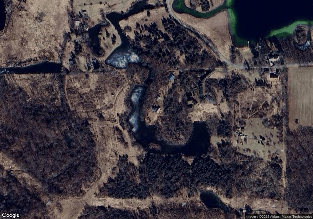
Map
Nearby Homes
- 13505 Vischer Rd
- 61 Pamawa Dr
- Lot 62 Pamawa Dr
- 9111 Marr Hwy
- 8788 Parker Hwy
- 8788 Parker Hwy
- 900 Pamawa Dr
- 753 Vaniman Island Dr
- 14800 Canary Ct
- 9304 Parkhurst Hwy
- 8000 Parkhurst Hwy Unit Carroll Dr ((1175)
- 5935 Tower Dr
- 5879 Tower Ave
- 10911 Devils Lake Hwy
- 6103 Highland Ave
- V/L Round Lake Hwy
- 5098 Belmere Dr
- 6360 Winter Rd
- 6797 Devils Lake Hwy
- 15816 Sanford Rd
- 13505 Vischer Rd
- 13571 Vischer Rd
- 13861 Vischer Rd
- 13745 Vischer Rd
- 13745 Vischer Rd
- 13893 Vischer Rd
- 13000 Vischer Rd Unit BLK
- 13000 Vischer Rd Unit BLK
- 13000 Vischer Rd Unit BLK
- 13000 Vischer Rd Unit BLK
- 13000 Vischer Rd
- 13925 Vischer Rd
- 13734 Vischer Rd
- 13939 Vischer Rd
- 13500 Vischer Rd
- 14045 Vischer Rd
- 13400 Vischer Rd
- 14090 Vischer Rd
- 14095 Vischer Rd
- 14105 Vischer Rd