1359 Harrington Rd Ulster, PA 18850
Estimated Value: $186,000 - $244,845
3
Beds
5
Baths
--
Sq Ft
1
Acres
About This Home
This home is located at 1359 Harrington Rd, Ulster, PA 18850 and is currently estimated at $217,711. 1359 Harrington Rd is a home located in Bradford County with nearby schools including Northeast Bradford El School, Northeast Bradford Junior/Senior High School, and Union Valley Christian School.
Ownership History
Date
Name
Owned For
Owner Type
Purchase Details
Closed on
Apr 9, 2006
Sold by
Horton Wendy S and Vanderpool Randy E
Bought by
Horton Wendy S and Payne Kevin T
Current Estimated Value
Purchase Details
Closed on
Aug 18, 2005
Sold by
Randall Miles and Randall Augusta
Bought by
Horton Wendy S and Vanderpool Randy E
Home Financials for this Owner
Home Financials are based on the most recent Mortgage that was taken out on this home.
Original Mortgage
$104,176
Interest Rate
5.93%
Mortgage Type
FHA
Create a Home Valuation Report for This Property
The Home Valuation Report is an in-depth analysis detailing your home's value as well as a comparison with similar homes in the area
Home Values in the Area
Average Home Value in this Area
Purchase History
| Date | Buyer | Sale Price | Title Company |
|---|---|---|---|
| Horton Wendy S | $50,000 | None Available | |
| Horton Wendy S | $105,000 | None Available |
Source: Public Records
Mortgage History
| Date | Status | Borrower | Loan Amount |
|---|---|---|---|
| Previous Owner | Horton Wendy S | $104,176 |
Source: Public Records
Tax History Compared to Growth
Tax History
| Year | Tax Paid | Tax Assessment Tax Assessment Total Assessment is a certain percentage of the fair market value that is determined by local assessors to be the total taxable value of land and additions on the property. | Land | Improvement |
|---|---|---|---|---|
| 2025 | $2,157 | $34,900 | $0 | $0 |
| 2024 | $2,004 | $34,900 | $0 | $0 |
| 2023 | $2,004 | $34,900 | $0 | $0 |
| 2022 | $1,937 | $34,900 | $0 | $0 |
| 2021 | $1,937 | $34,900 | $0 | $0 |
| 2020 | $1,937 | $34,900 | $0 | $0 |
| 2019 | $1,893 | $34,900 | $0 | $0 |
| 2018 | $1,765 | $34,900 | $0 | $0 |
| 2017 | $1,805 | $34,900 | $0 | $0 |
| 2016 | -- | $34,900 | $0 | $0 |
| 2015 | -- | $34,900 | $0 | $0 |
| 2014 | $929 | $34,900 | $0 | $0 |
Source: Public Records
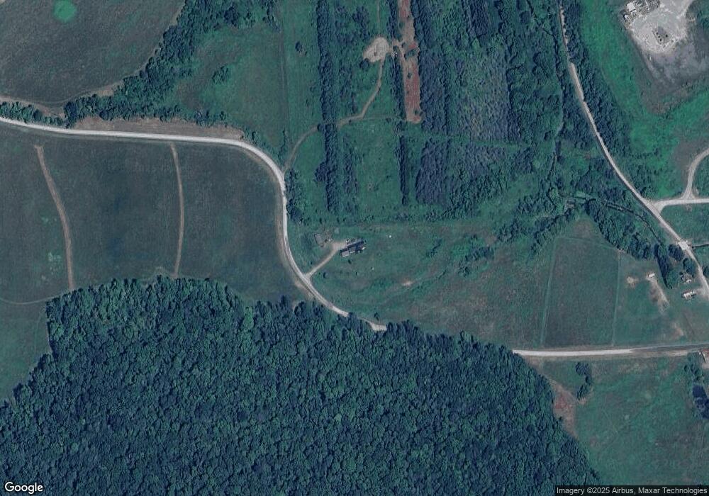
Map
Nearby Homes
- 7102 Lake Rd
- 32134 Route 187
- 28135 State Route 187
- 39386 State Route 187
- 0 Golden Gate Rd
- 0 Hill Rd
- 39081 State Route 187
- 3437 Cragle Rd
- 2323 Cotton Hollow Rd
- 175 Route 467
- 500 Stonefield Ln
- 53.25 ac Raglan Rd
- 103 Harrison Rd
- 0 Orange Hill Rd
- 0 Pennsylvania 467
- 47 Alpine Dr
- 413 Zurn Rd
- 146 Potterville St
- 560 Bradley Rd
- 986 Wesauking Dr
- 3625 Battle Creek Rd
- 3591 Battle Creek Rd
- 1019 Harrington Rd
- 3592 Battle Creek Rd
- 3549 Battle Creek Rd
- 3516 Battle Creek Rd
- 4204 Battle Creek Rd
- 3529 Battle Creek Rd
- 1339 W Parks Rd
- 119 Staats Ln
- 1683 W Parks Rd
- 1645 W Parks Rd
- 1249 W Parks Rd
- 3303 Battle Creek Rd
- 1445 W Parks Rd
- 1506 W Parks Rd
- 1600 W Parks Rd
- 1378 W Parks Rd
- 4420 Battle Creek Rd
- 492 N Orwell Rd