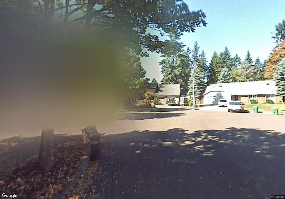
13590 SW Polo Ct Beaverton, OR 97008
South Beaverton NeighborhoodEstimated Value: $705,050 - $792,000
3
Beds
3
Baths
2,616
Sq Ft
$282/Sq Ft
Est. Value
About This Home
This home is located at 13590 SW Polo Ct, Beaverton, OR 97008 and is currently estimated at $736,763, approximately $281 per square foot. 13590 SW Polo Ct is a home located in Washington County with nearby schools including Hiteon Elementary School, Conestoga Middle School, and Southridge High School.
Ownership History
Date
Name
Owned For
Owner Type
Purchase Details
Closed on
Aug 13, 2004
Sold by
Dent Gary Wayne and Dent Linda Marie
Bought by
Howard Douglas C and Howard Kirsten M
Current Estimated Value
Home Financials for this Owner
Home Financials are based on the most recent Mortgage that was taken out on this home.
Original Mortgage
$189,500
Outstanding Balance
$93,689
Interest Rate
6.17%
Mortgage Type
Purchase Money Mortgage
Estimated Equity
$643,074
Create a Home Valuation Report for This Property
The Home Valuation Report is an in-depth analysis detailing your home's value as well as a comparison with similar homes in the area
Home Values in the Area
Average Home Value in this Area
Purchase History
| Date | Buyer | Sale Price | Title Company |
|---|---|---|---|
| Howard Douglas C | $329,500 | First American |
Source: Public Records
Mortgage History
| Date | Status | Borrower | Loan Amount |
|---|---|---|---|
| Open | Howard Douglas C | $189,500 |
Source: Public Records
Tax History Compared to Growth
Tax History
| Year | Tax Paid | Tax Assessment Tax Assessment Total Assessment is a certain percentage of the fair market value that is determined by local assessors to be the total taxable value of land and additions on the property. | Land | Improvement |
|---|---|---|---|---|
| 2026 | $7,827 | $382,090 | -- | -- |
| 2025 | $7,827 | $370,970 | -- | -- |
| 2024 | $7,390 | $360,170 | -- | -- |
| 2023 | $7,390 | $349,680 | $0 | $0 |
| 2022 | $7,073 | $349,680 | $0 | $0 |
| 2021 | $6,825 | $329,620 | $0 | $0 |
| 2020 | $6,618 | $320,020 | $0 | $0 |
| 2019 | $6,408 | $310,700 | $0 | $0 |
| 2018 | $6,204 | $301,660 | $0 | $0 |
| 2017 | $5,972 | $292,880 | $0 | $0 |
| 2016 | $5,764 | $284,350 | $0 | $0 |
| 2015 | $5,550 | $276,070 | $0 | $0 |
| 2014 | $5,432 | $268,030 | $0 | $0 |
Source: Public Records
Map
Nearby Homes
- 9970 SW Silver Place
- 9965 SW Pimlico Terrace
- 13250 SW Weir Rd
- 13180 SW Haystack Dr
- 9625 SW 130th Ave
- 13140 SW Madison Ct
- 12720 SW Brockman St
- 9125 SW Davies Rd
- 13850 SW Martingale Ct
- 9480 SW 146th Terrace Unit Q1
- 13775 SW Scholls Ferry Rd Unit 205
- 13775 SW Scholls Ferry Rd Unit 3
- 13775 SW Scholls Ferry Rd Unit 212
- 9020 SW 130th Ave Unit 9020
- 9420 SW 146th Terrace Unit 5
- 10835 SW Huntington Ave
- 10820 SW Huntington Ave
- 10830 SW Briarwood Place
- 9455 SW 146th Terrace Unit 2
- 12945 SW Hackamore Ct
- 13560 SW Polo Ct
- 13595 SW Polo Ct
- 13625 SW Rawhide Ct
- 9810 SW Buckskin Terrace
- 9790 SW Buckskin Terrace
- 13520 SW Polo Ct
- 13565 SW Polo Ct
- 13675 SW Rawhide Ct
- 9830 SW Buckskin Terrace
- 13525 SW Polo Ct
- 13620 SW Rawhide Ct
- 9770 SW Buckskin Te
- 9770 SW Buckskin Terrace
- 13560 SW Roan Ct
- 9850 SW Buckskin Terrace
- 13590 SW Roan Ct
- 13715 SW Rawhide Ct
- 13670 SW Rawhide Ct
- 9740 SW Buckskin Terrace
- 9755 SW 135th Ave