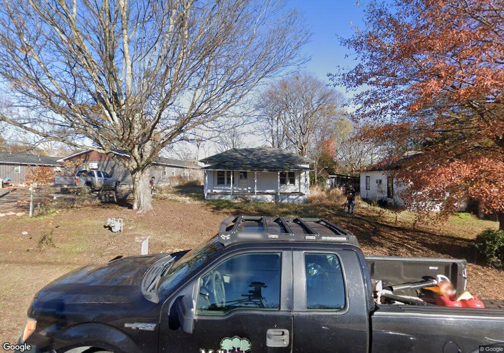
136 4th St Mulberry, AR 72947
Estimated Value: $150,000 - $1,325,000
Studio
1
Bath
1,092
Sq Ft
$497/Sq Ft
Est. Value
About This Home
This home is located at 136 4th St, Mulberry, AR 72947 and is currently estimated at $542,333, approximately $496 per square foot. 136 4th St is a home located in Crawford County with nearby schools including Marvin Primary School, Pleasant View Junior High School, and Mulberry High School.
Ownership History
Date
Name
Owned For
Owner Type
Purchase Details
Closed on
Mar 21, 2022
Sold by
Commissioner Of State Lands
Bought by
Thornsberry Evelyn S
Current Estimated Value
Purchase Details
Closed on
Oct 5, 2001
Bought by
Hunter-Patterson
Purchase Details
Closed on
Sep 27, 2001
Bought by
Anderson and Reeves-Hunter
Purchase Details
Closed on
Aug 11, 1993
Bought by
Reeves-Reeves
Create a Home Valuation Report for This Property
The Home Valuation Report is an in-depth analysis detailing your home's value as well as a comparison with similar homes in the area
Purchase History
| Date | Buyer | Sale Price | Title Company |
|---|---|---|---|
| Thornsberry Evelyn S | $10,000 | None Listed On Document | |
| Hunter-Patterson | $15,000 | -- | |
| Anderson | $10,000 | -- | |
| Reeves-Reeves | -- | -- |
Source: Public Records
Tax History
| Year | Tax Paid | Tax Assessment Tax Assessment Total Assessment is a certain percentage of the fair market value that is determined by local assessors to be the total taxable value of land and additions on the property. | Land | Improvement |
|---|---|---|---|---|
| 2025 | $117 | $2,250 | $2,250 | $0 |
| 2024 | $269 | $5,160 | $2,250 | $2,910 |
| 2023 | $269 | $5,160 | $2,250 | $2,910 |
| 2022 | $168 | $3,220 | $1,280 | $1,940 |
| 2021 | $157 | $3,220 | $1,280 | $1,940 |
| 2020 | $157 | $3,220 | $1,280 | $1,940 |
| 2019 | $157 | $3,220 | $1,280 | $1,940 |
| 2018 | $157 | $3,220 | $1,280 | $1,940 |
| 2017 | $151 | $3,220 | $1,280 | $1,940 |
| 2016 | -- | $5,120 | $1,280 | $3,840 |
| 2015 | -- | $5,120 | $1,280 | $3,840 |
| 2014 | -- | $5,120 | $1,280 | $3,840 |
Source: Public Records
Map
Nearby Homes
- 36 W 8th St
- 8 W 10th St
- TBD (lot 29) Keystone Dr
- TBD (lot 30) Keystone Dr
- 5527 Wire Rd
- 2150 Old Graphic St
- TBD Exsorbet Dr
- 3032 King Dr
- TBD Beth Lynn Dr
- 10110 Booth Rd
- 10117 Beth Lynn Rd
- 10119 Beth Lynn Rd
- 6839 U S 64
- 3819 Ridgemont Estate
- TBD Goff Cir
- 0 Goff Cir
- 01 Arkansas 96
- 5319 Chastain Rd
- 000 River Rd
- 8761 Slate Hill Rd
Your Personal Tour Guide
Ask me questions while you tour the home.