Estimated Value: $554,000 - $924,000
About This Home
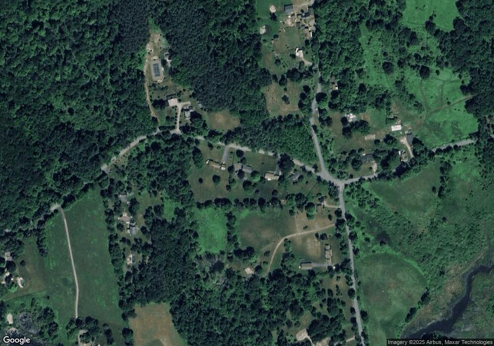
This home is located at 136 Anderson Rd, Kent, CT 06757 and is currently estimated at $755,217, approximately $333 per square foot. 136 Anderson Rd is a home located in Litchfield County with nearby schools including Kent Center School and Housatonic Valley Regional High School.
Ownership History
We collect this data history from publicly available records. To have your information removed, we recommend requesting removal directly through your county’s website.
Purchase Details
Home Values in the Area
Average Home Value in this Area
Purchase History
We collect this data history from publicly available records. To have your information removed, we recommend requesting removal directly through your county’s website.
| Date | Buyer | Sale Price | Title Company |
|---|---|---|---|
| -- | -- |
Mortgage History
We collect this data history from publicly available records. To have your information removed, we recommend requesting removal directly through your county’s website.
| Date | Status | Borrower | Loan Amount |
|---|---|---|---|
| Open | $250,000 | ||
| Closed | $126,000 |
Tax History
We collect this data history from publicly available records. To have your information removed, we recommend requesting removal directly through your county’s website.
| Year | Tax Paid | Tax Assessment Tax Assessment Total Assessment is a certain percentage of the fair market value that is determined by local assessors to be the total taxable value of land and additions on the property. | Land | Improvement |
|---|---|---|---|---|
| 2025 | $6,088 | $360,900 | $91,300 | $269,600 |
| 2024 | $5,626 | $360,900 | $91,300 | $269,600 |
| 2023 | $4,504 | $240,100 | $101,300 | $138,800 |
| 2022 | $4,459 | $240,100 | $101,300 | $138,800 |
| 2021 | $4,459 | $240,100 | $101,300 | $138,800 |
| 2020 | $4,468 | $240,100 | $101,300 | $138,800 |
| 2019 | $4,468 | $240,100 | $101,300 | $138,800 |
| 2018 | $4,373 | $235,000 | $115,200 | $119,800 |
| 2017 | $4,373 | $235,000 | $115,200 | $119,800 |
| 2016 | $4,308 | $235,000 | $115,200 | $119,800 |
| 2015 | $4,197 | $235,000 | $115,200 | $119,800 |
| 2014 | $4,002 | $235,000 | $115,200 | $119,800 |
Map
- 14 Straight Rd
- 270 Kent Hollow Rd
- 68 Anderson Rd
- 56 Richards Rd
- 18 Arrow Point Rd
- 00 Upper Kent Hollow Rd
- 40 Arrow Point Rd
- 11 Stone Fences Ln
- 25 Stone Fences Ln
- 25 Bald Hill Rd
- 53 Mountain Lake Rd
- 103 Geer Mountain Rd
- 141 New Preston Hill Rd
- 56 Tinker Hill Rd
- 184B Kent Rd
- 450 W Meetinghouse Rd
- 39 Gorham Rd
- 0 Mount Mauwee Rd
- 70 Reed Rd
- 18 Hinckley Rd
- 138 Anderson Rd
- 132 Anderson Rd
- 142 Anderson Rd
- 308 Kent Hollow Rd
- 310 Kent Hollow Rd
- 302 Kent Hollow Rd
- 118 Anderson Rd
- 127 Anderson Rd
- 155 Upper Kent Hollow Rd
- 314 Kent Hollow Rd
- 151 Upper Kent Hollow Rd
- 296 Kent Hollow Rd
- 144 Upper Kent Hollow Rd
- 324 Kent Hollow Rd
- 108 Anderson Rd
- 98 Anderson Rd
- 284 Kent Hollow Rd
- 351 Kent Hollow Rd
- 72 Anderson Rd
- 17 Straight Rd
Ask me questions while you tour the home.