136 Andover Rd Rumford, ME 04276
Estimated Value: $229,000 - $288,000
Studio
--
Bath
1,482
Sq Ft
$172/Sq Ft
Est. Value
About This Home
This home is located at 136 Andover Rd, Rumford, ME 04276 and is currently estimated at $254,216, approximately $171 per square foot. 136 Andover Rd is a home with nearby schools including Rumford Elementary School, Meroby Elementary School, and Mountain Valley Middle School.
Create a Home Valuation Report for This Property
The Home Valuation Report is an in-depth analysis detailing your home's value as well as a comparison with similar homes in the area
Home Values in the Area
Average Home Value in this Area
Tax History
| Year | Tax Paid | Tax Assessment Tax Assessment Total Assessment is a certain percentage of the fair market value that is determined by local assessors to be the total taxable value of land and additions on the property. | Land | Improvement |
|---|---|---|---|---|
| 2025 | $3,585 | $191,400 | $31,700 | $159,700 |
| 2024 | $3,181 | $191,400 | $31,700 | $159,700 |
| 2023 | $3,032 | $136,700 | $22,600 | $114,100 |
| 2022 | $3,032 | $136,700 | $22,600 | $114,100 |
| 2021 | $3,069 | $136,700 | $22,600 | $114,100 |
| 2020 | $3,089 | $136,700 | $22,600 | $114,100 |
| 2019 | $2,898 | $95,023 | $12,483 | $82,540 |
| 2018 | $2,827 | $95,023 | $12,483 | $82,540 |
| 2017 | $2,741 | $95,023 | $12,483 | $82,540 |
| 2016 | $2,661 | $95,020 | $12,480 | $82,540 |
| 2015 | $2,608 | $95,020 | $12,480 | $82,540 |
| 2014 | $2,561 | $95,020 | $12,480 | $82,540 |
Source: Public Records
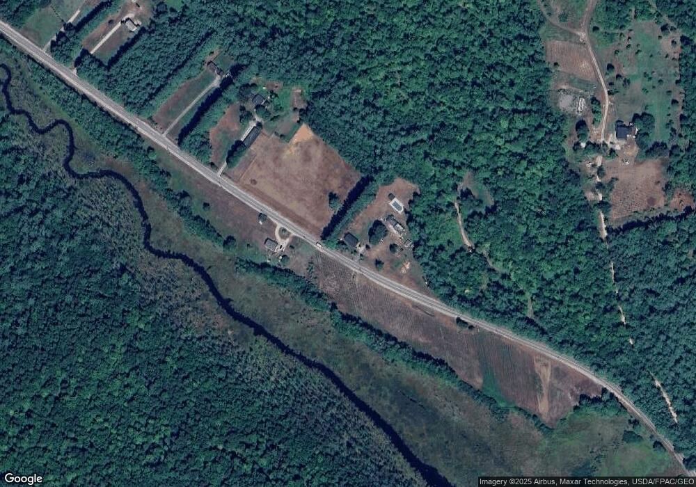
Map
Nearby Homes
- 159 Martin Rd
- 509 Blackberry Ln
- 1019 U S Highway 2
- 1359 Route 2
- 018 Bear Ln
- 019 upper Bear Ln
- 019 lower Bear Ln
- 19 Bear Ln
- 18 Bear Ln
- Map 402 Lot 8 Rd
- Map 240 Lot 1 Map 239 Lot 4
- 1318 U S 2
- 003 Western View Ln
- 19 Hawk Ln
- 1257 Route 2 Unit 1-5
- 1257 Route 2 Unit 23
- Lot 17 S Rumford Rd
- Lot #016 Isthmus Rd
- Lot 18-1 Isthmus Rd
- 258 Isthmus Rd
- 138 Andover Rd
- 126 Andover Rd
- 122 Andover Rd
- 156 Andover Rd
- 7 Derrick Ln
- 8 Derrick Ln
- 0 Holman Rd Lot# 004 Unit 1265360
- 0 Jed Martin & Holman Rd Unit 974697
- 108 Andover Rd
- 164 Andover Rd
- 109 Andover Rd
- Lot# 10 Holman Rd
- 153 Andover Rd
- 163 Andover Rd
- 170 Andover Rd
- 5 Holman Rd
- 172 Andover Rd
- 176 Andover Rd
- 173 Andover Rd
- 177 Andover Rd
Your Personal Tour Guide
Ask me questions while you tour the home.