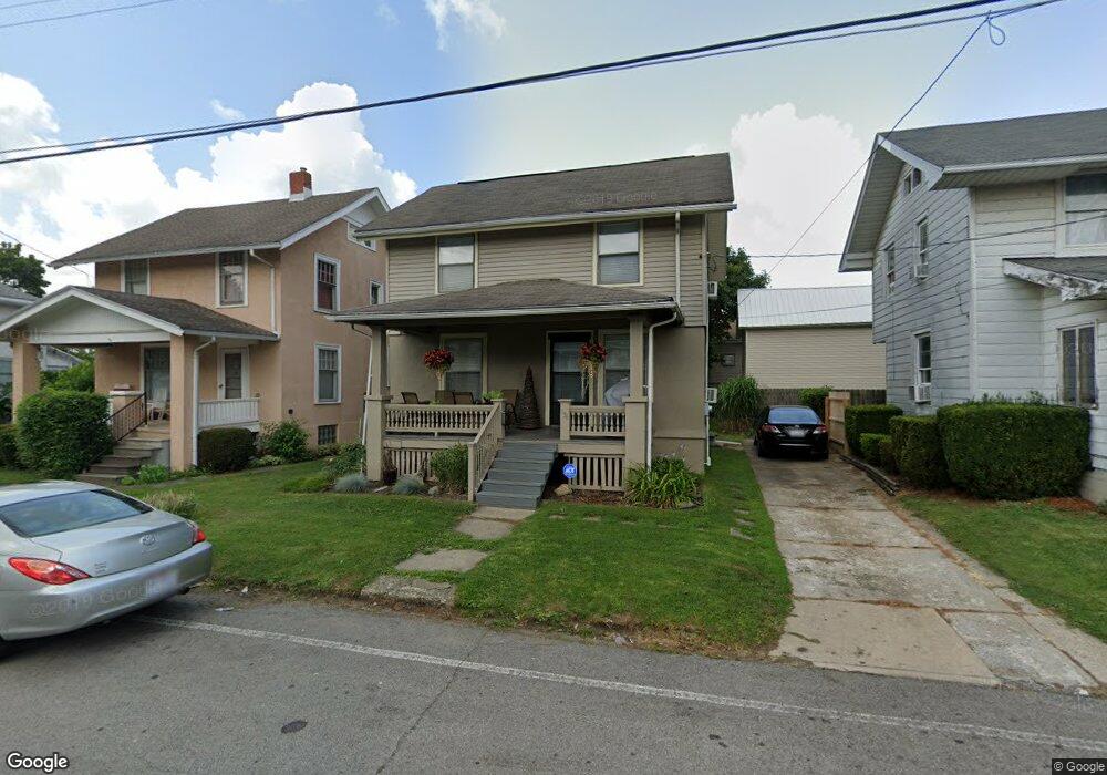
136 Bartley Ave Mansfield, OH 44903
Estimated Value: $85,000 - $143,000
3
Beds
2
Baths
1,131
Sq Ft
$103/Sq Ft
Est. Value
About This Home
This home is located at 136 Bartley Ave, Mansfield, OH 44903 and is currently estimated at $116,858, approximately $103 per square foot. 136 Bartley Ave is a home located in Richland County with nearby schools including The Richland School of Academic Arts and St. Peter's Junior High / High School.
Ownership History
Date
Name
Owned For
Owner Type
Purchase Details
Closed on
Apr 26, 2002
Sold by
Moore Fred N
Bought by
Broach Candie J
Current Estimated Value
Home Financials for this Owner
Home Financials are based on the most recent Mortgage that was taken out on this home.
Original Mortgage
$48,009
Outstanding Balance
$20,557
Interest Rate
7.13%
Mortgage Type
FHA
Estimated Equity
$96,301
Purchase Details
Closed on
May 25, 1995
Sold by
Restelli Harold Rusty
Bought by
Moore Fred N and Moore Kathleen T
Home Financials for this Owner
Home Financials are based on the most recent Mortgage that was taken out on this home.
Original Mortgage
$19,150
Interest Rate
8.01%
Mortgage Type
New Conventional
Purchase Details
Closed on
Jul 1, 1994
Sold by
Baker Grace M
Bought by
Rusty Harold and Restelli Tracy L
Home Financials for this Owner
Home Financials are based on the most recent Mortgage that was taken out on this home.
Original Mortgage
$85,381
Interest Rate
8.66%
Mortgage Type
New Conventional
Create a Home Valuation Report for This Property
The Home Valuation Report is an in-depth analysis detailing your home's value as well as a comparison with similar homes in the area
Home Values in the Area
Average Home Value in this Area
Purchase History
| Date | Buyer | Sale Price | Title Company |
|---|---|---|---|
| Broach Candie J | $47,900 | -- | |
| Moore Fred N | $20,200 | -- | |
| Rusty Harold | $23,000 | -- |
Source: Public Records
Mortgage History
| Date | Status | Borrower | Loan Amount |
|---|---|---|---|
| Open | Broach Candie J | $48,009 | |
| Previous Owner | Moore Fred N | $19,150 | |
| Previous Owner | Rusty Harold | $85,381 |
Source: Public Records
Tax History
| Year | Tax Paid | Tax Assessment Tax Assessment Total Assessment is a certain percentage of the fair market value that is determined by local assessors to be the total taxable value of land and additions on the property. | Land | Improvement |
|---|---|---|---|---|
| 2024 | $1,455 | $30,380 | $2,610 | $27,770 |
| 2023 | $1,455 | $30,380 | $2,610 | $27,770 |
| 2022 | $1,239 | $21,680 | $2,240 | $19,440 |
| 2021 | $1,247 | $21,680 | $2,240 | $19,440 |
| 2020 | $1,275 | $21,680 | $2,240 | $19,440 |
| 2019 | $1,414 | $21,680 | $2,240 | $19,440 |
| 2018 | $1,395 | $21,680 | $2,240 | $19,440 |
| 2017 | $1,358 | $21,680 | $2,240 | $19,440 |
| 2016 | $1,163 | $18,010 | $3,090 | $14,920 |
| 2015 | $1,111 | $18,010 | $3,090 | $14,920 |
| 2014 | $1,096 | $18,010 | $3,090 | $14,920 |
| 2012 | $420 | $18,010 | $3,250 | $14,760 |
Source: Public Records
Map
Nearby Homes
- 158 Vennum Ave
- 126 Dawson Ave
- 133 Stewart Ave S
- 71 Dawson Ave
- 31 Bartley Ave
- 116 Stewart Ave S
- 189 Westwood Ave
- 108 Stewart Ave S
- 455 Marion Ave
- 30 Douglas Ave
- 51 Lind Ave
- 183 Carpenter Rd
- 24 Stewart Ave S
- 135 Wood St
- 31 Parkwood Blvd
- 458 W West Dickson Ave
- 10 Gray Ct
- 131 Sturges Ave
- 679 Coleman Rd
- 686 Barnard Ave
- 138 Bartley Ave
- 132 Bartley Ave
- 289 Marion Ave
- 287 Marion Ave
- 144 Bartley Ave
- 137 Bartley Ave
- 139 Bartley Ave
- 135 Bartley Ave
- 148 Bartley Ave
- 145 Bartley Ave
- 147 Bartley Ave
- 305 Marion Ave
- 156 Bartley Ave
- 153 Bartley Ave
- 302 Marion Ave
- 259 Marion Ave
- 136 Poplar St
- 126 Poplar St
- 138 Poplar St
- 310 Marion Ave
Your Personal Tour Guide
Ask me questions while you tour the home.