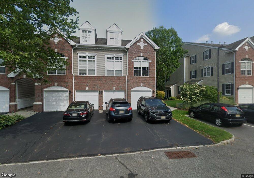
136 Carter Rd Unit H1 Haskell, NJ 07420
Estimated Value: $454,074 - $510,000
--
Bed
--
Bath
1,473
Sq Ft
$327/Sq Ft
Est. Value
About This Home
This home is located at 136 Carter Rd Unit H1, Haskell, NJ 07420 and is currently estimated at $481,019, approximately $326 per square foot. 136 Carter Rd Unit H1 is a home located in Passaic County with nearby schools including Lakeland Reg High School and St Marys School.
Ownership History
Date
Name
Owned For
Owner Type
Purchase Details
Closed on
Aug 21, 2013
Sold by
Nyary Mary Whelan
Bought by
Leary Carol A O
Current Estimated Value
Home Financials for this Owner
Home Financials are based on the most recent Mortgage that was taken out on this home.
Original Mortgage
$152,000
Outstanding Balance
$112,811
Interest Rate
4.34%
Mortgage Type
New Conventional
Estimated Equity
$368,208
Purchase Details
Closed on
Sep 26, 2000
Sold by
Oleary Carol A and Oleary Thomas F
Bought by
Oleary Thomas F and Oleary Carol A
Create a Home Valuation Report for This Property
The Home Valuation Report is an in-depth analysis detailing your home's value as well as a comparison with similar homes in the area
Home Values in the Area
Average Home Value in this Area
Purchase History
| Date | Buyer | Sale Price | Title Company |
|---|---|---|---|
| Leary Carol A O | $106,000 | Chicago Title Ins Co | |
| Oleary Thomas F | -- | -- |
Source: Public Records
Mortgage History
| Date | Status | Borrower | Loan Amount |
|---|---|---|---|
| Open | Leary Carol A O | $152,000 |
Source: Public Records
Tax History Compared to Growth
Tax History
| Year | Tax Paid | Tax Assessment Tax Assessment Total Assessment is a certain percentage of the fair market value that is determined by local assessors to be the total taxable value of land and additions on the property. | Land | Improvement |
|---|---|---|---|---|
| 2025 | $10,938 | $253,600 | $65,000 | $188,600 |
| 2024 | $10,720 | $253,600 | $65,000 | $188,600 |
| 2022 | $10,494 | $253,600 | $65,000 | $188,600 |
| 2021 | $10,266 | $253,600 | $65,000 | $188,600 |
| 2020 | $10,152 | $253,600 | $65,000 | $188,600 |
| 2019 | $9,908 | $253,600 | $65,000 | $188,600 |
| 2018 | $9,713 | $253,600 | $65,000 | $188,600 |
| 2017 | $9,485 | $253,600 | $65,000 | $188,600 |
| 2016 | $9,251 | $253,600 | $65,000 | $188,600 |
| 2015 | $9,119 | $253,600 | $65,000 | $188,600 |
| 2014 | $8,939 | $253,600 | $65,000 | $188,600 |
Source: Public Records
Map
Nearby Homes
- 40 Burnside Place
- 25 Bergen Ave
- 35 Smith Ave
- 19 Dogwood Ln Unit 19
- 19 Dogwood Ln Unit U9F
- 90 Burnside Place
- 6 Elston Ct
- 28 Elston Ct
- 43 Elston Ct Unit 301
- 9116 Warrens Way Unit 116
- 9116 Warrens Way
- 5 Storms Place
- 17 Locust St
- 8406 Warrens Way
- 9312 Warrens Way
- 8317 Warrens Way
- 8415 Warrens Way
- 10316 Warrens Way
- 6116 Warrens Way
- 138 Carter Rd Unit H2
- 132 Carter Rd Unit G1
- 142 Carter Rd
- 128 Carter Rd
- 140 Carter Rd
- 130 Carter Rd
- 146 Carter Rd Unit B2
- 124 Carter Rd
- 144 Carter Rd Unit B1
- 126 Carter Rd Unit 120
- 126 Carter Rd
- 150 Carter Rd
- 120 Carter Rd
- 148 Carter Rd
- 122 Carter Rd Unit D2
- 154 Carter Rd Unit D2
- 116 Carter Rd
- 152 Carter Rd
- 118 Carter Rd
- 158 Carter Rd Unit E2