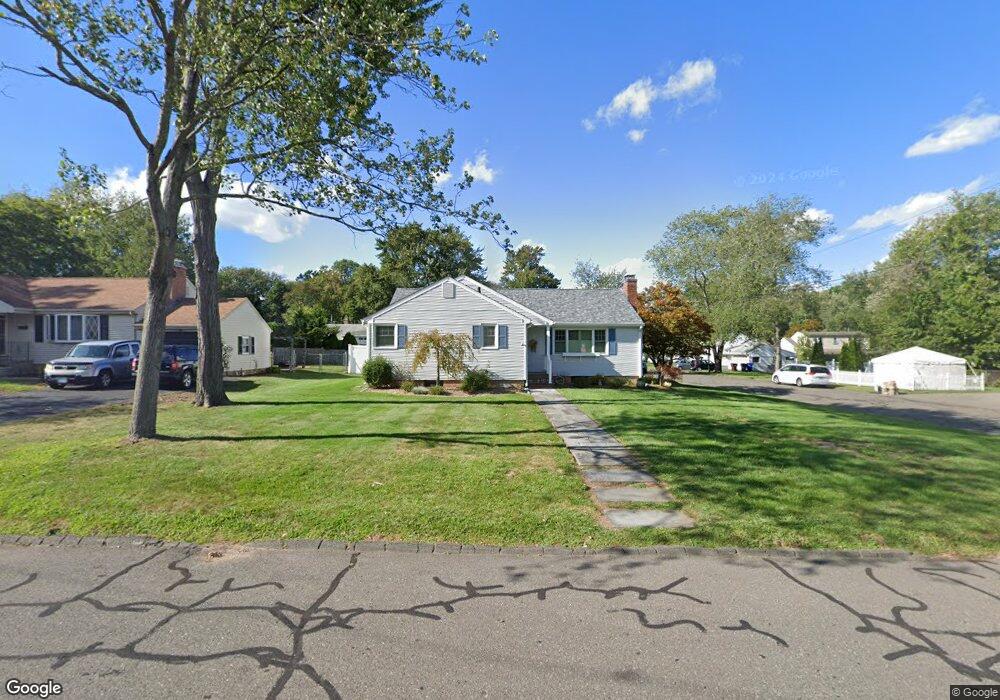
136 Dale Rd Wethersfield, CT 06109
Estimated Value: $401,000 - $435,000
3
Beds
2
Baths
1,270
Sq Ft
$325/Sq Ft
Est. Value
About This Home
This home is located at 136 Dale Rd, Wethersfield, CT 06109 and is currently estimated at $413,288, approximately $325 per square foot. 136 Dale Rd is a home located in Hartford County with nearby schools including Emerson-Williams School, Silas Deane Middle School, and Wethersfield High School.
Ownership History
Date
Name
Owned For
Owner Type
Purchase Details
Closed on
Jan 31, 2019
Sold by
Speziale Donna M
Bought by
Donna M Speziale Ret 2019
Current Estimated Value
Purchase Details
Closed on
May 28, 2003
Sold by
Oleary Robert A and Oleary Diana
Bought by
Speziale Donna M
Home Financials for this Owner
Home Financials are based on the most recent Mortgage that was taken out on this home.
Original Mortgage
$60,000
Interest Rate
5.86%
Purchase Details
Closed on
May 29, 1992
Sold by
Wood Andrew R and Wood Diane
Bought by
Oleary Robert A and Oleary Diana
Home Financials for this Owner
Home Financials are based on the most recent Mortgage that was taken out on this home.
Original Mortgage
$165,000
Interest Rate
8.5%
Mortgage Type
Unknown
Purchase Details
Closed on
Apr 24, 1991
Sold by
Bonfiglio Paul and Bonfiglio Elizabeth
Bought by
Wood Andrew and Wood Diane
Create a Home Valuation Report for This Property
The Home Valuation Report is an in-depth analysis detailing your home's value as well as a comparison with similar homes in the area
Home Values in the Area
Average Home Value in this Area
Purchase History
| Date | Buyer | Sale Price | Title Company |
|---|---|---|---|
| Donna M Speziale Ret 2019 | -- | -- | |
| Speziale Donna M | $205,000 | -- | |
| Oleary Robert A | $165,000 | -- | |
| Wood Andrew | $157,500 | -- |
Source: Public Records
Mortgage History
| Date | Status | Borrower | Loan Amount |
|---|---|---|---|
| Previous Owner | Wood Andrew | $60,000 | |
| Previous Owner | Wood Andrew | $151,325 | |
| Previous Owner | Wood Andrew | $160,908 | |
| Previous Owner | Wood Andrew | $165,000 |
Source: Public Records
Tax History
| Year | Tax Paid | Tax Assessment Tax Assessment Total Assessment is a certain percentage of the fair market value that is determined by local assessors to be the total taxable value of land and additions on the property. | Land | Improvement |
|---|---|---|---|---|
| 2025 | $10,364 | $251,420 | $93,800 | $157,620 |
| 2024 | $7,038 | $162,830 | $73,500 | $89,330 |
| 2023 | $6,803 | $162,830 | $73,500 | $89,330 |
| 2022 | $6,424 | $156,380 | $73,500 | $82,880 |
| 2021 | $6,360 | $156,380 | $73,500 | $82,880 |
| 2020 | $6,363 | $156,380 | $73,500 | $82,880 |
| 2019 | $6,371 | $156,380 | $73,500 | $82,880 |
| 2018 | $6,366 | $156,100 | $71,100 | $85,000 |
| 2017 | $6,208 | $156,100 | $71,100 | $85,000 |
| 2016 | $6,016 | $156,100 | $71,100 | $85,000 |
| 2015 | $5,961 | $156,100 | $71,100 | $85,000 |
| 2014 | $5,735 | $156,100 | $71,100 | $85,000 |
Source: Public Records
Map
Nearby Homes
Your Personal Tour Guide
Ask me questions while you tour the home.