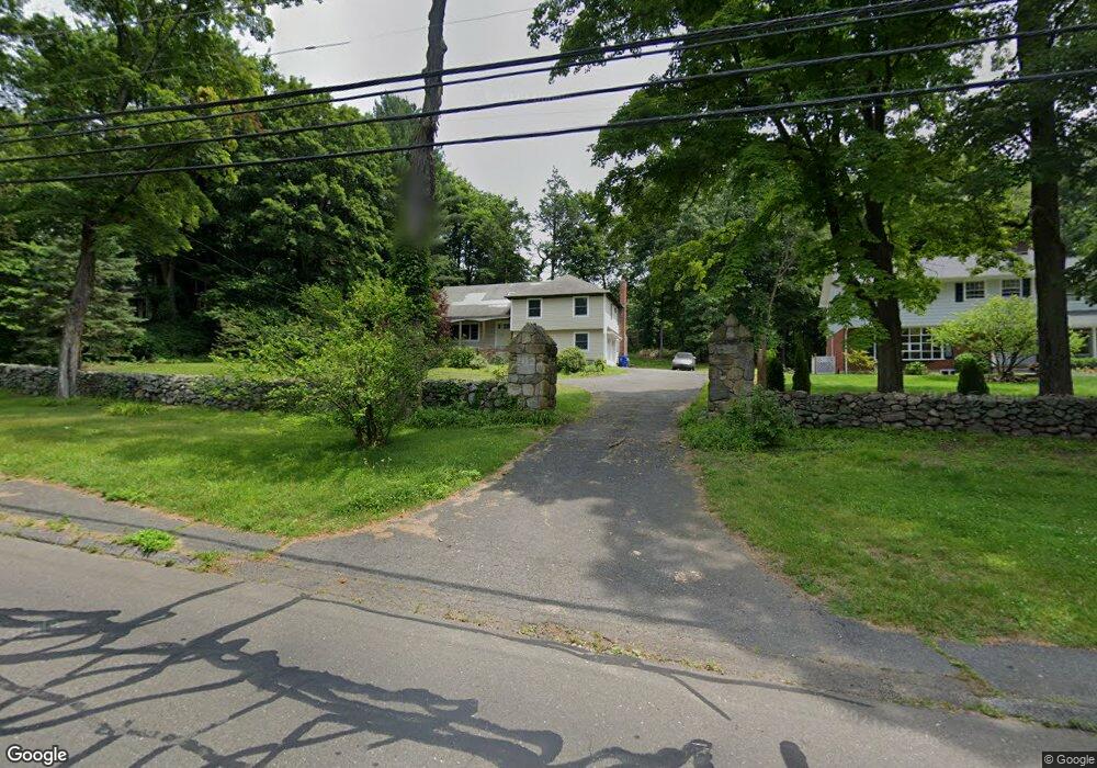
136 E Rocks Rd Norwalk, CT 06851
Woods Pond NeighborhoodEstimated Value: $795,000 - $877,344
5
Beds
5
Baths
2,525
Sq Ft
$334/Sq Ft
Est. Value
About This Home
This home is located at 136 E Rocks Rd, Norwalk, CT 06851 and is currently estimated at $843,336, approximately $333 per square foot. 136 E Rocks Rd is a home located in Fairfield County with nearby schools including Cranbury Elementary School, West Rocks Middle School, and Norwalk High School.
Ownership History
Date
Name
Owned For
Owner Type
Purchase Details
Closed on
Aug 6, 2015
Sold by
Parra Carlos
Bought by
Cm Logan Llc
Current Estimated Value
Purchase Details
Closed on
Sep 15, 2014
Sold by
Castagna Anthony and Hudson City Sb
Bought by
Hudson City Sb
Purchase Details
Closed on
May 21, 2010
Sold by
Matro Mary
Bought by
Castiaqua Anthony
Purchase Details
Closed on
Apr 6, 2010
Sold by
Castagna Anthony
Bought by
Matro Mary
Create a Home Valuation Report for This Property
The Home Valuation Report is an in-depth analysis detailing your home's value as well as a comparison with similar homes in the area
Home Values in the Area
Average Home Value in this Area
Purchase History
| Date | Buyer | Sale Price | Title Company |
|---|---|---|---|
| Cm Logan Llc | -- | -- | |
| Parra Carlos | $370,000 | -- | |
| Hudson City Sb | -- | -- | |
| Castiaqua Anthony | -- | -- | |
| Matro Mary | -- | -- | |
| Cm Logan Llc | -- | -- | |
| Hudson City Sb | -- | -- | |
| Castiaqua Anthony | -- | -- | |
| Matro Mary | -- | -- |
Source: Public Records
Mortgage History
| Date | Status | Borrower | Loan Amount |
|---|---|---|---|
| Previous Owner | Matro Mary | $417,000 | |
| Previous Owner | Matro Mary | $100,000 |
Source: Public Records
Tax History
| Year | Tax Paid | Tax Assessment Tax Assessment Total Assessment is a certain percentage of the fair market value that is determined by local assessors to be the total taxable value of land and additions on the property. | Land | Improvement |
|---|---|---|---|---|
| 2025 | $11,631 | $489,950 | $198,060 | $291,890 |
| 2024 | $11,453 | $489,950 | $198,060 | $291,890 |
| 2023 | $9,541 | $382,170 | $157,870 | $224,300 |
| 2022 | $9,391 | $382,170 | $157,870 | $224,300 |
| 2021 | $7,991 | $382,170 | $157,870 | $224,300 |
| 2020 | $9,022 | $382,170 | $157,870 | $224,300 |
| 2019 | $8,713 | $382,170 | $157,870 | $224,300 |
| 2018 | $9,805 | $378,130 | $170,420 | $207,710 |
| 2017 | $9,462 | $378,130 | $170,420 | $207,710 |
| 2016 | $9,620 | $378,130 | $170,420 | $207,710 |
| 2015 | $9,593 | $378,130 | $170,420 | $207,710 |
| 2014 | $9,468 | $378,130 | $170,420 | $207,710 |
Source: Public Records
Map
Nearby Homes
- 152 E Rocks Rd
- 3 Woodley Ln
- 2 Woodley Ln
- 7 Scott St
- 3 Stonybrook Rd
- 205 E Rocks Rd
- 6 Clara Dr
- 5 Tod Rd
- 37 Murray St
- 9 Trailside Dr
- 71 Aiken St Unit M1
- 71 Aiken St Unit C8
- 206 Sunrise Hill Rd Unit 206
- 226 Sunrise Hill Rd Unit 226
- 178 Sunrise Hill Rd
- 8 Stonecrop Rd
- 4 Frank St
- 75 Newtown Ave
- 34 Sunrise Hill Rd
- 50 Aiken St Unit 253
- 138 E Rocks Rd
- 140 E Rocks Rd
- 130 E Rocks Rd
- 137 E Rocks Rd
- 131 E Rocks Rd
- 135 E Rocks Rd
- 135 1/2 E Rocks Rd
- 139 E Rocks Rd
- 144 E Rocks Rd
- 129 E Rocks Rd
- 122 E Rocks Rd
- 128 E Rocks Rd
- 141 E Rocks Rd
- 12 Brookhill Ln
- 126 E Rocks Rd
- 10 Brookhill Ln
- 3 Wildgoose Ln
- 16 Brookhill Ln
- 145 E Rocks Rd
- 20 Heritage Hill Rd
Your Personal Tour Guide
Ask me questions while you tour the home.