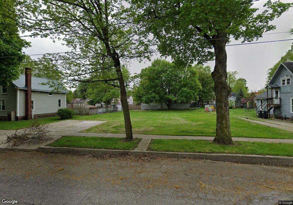
136 E Union St Morenci, MI 49256
Estimated Value: $136,000
Studio
1
Bath
--
Sq Ft
11,326
Sq Ft
About This Home
This home is located at 136 E Union St, Morenci, MI 49256 and is currently estimated at $136,000. 136 E Union St is a home located in Lenawee County with nearby schools including Morenci Elementary School and Morenci Middle/High School.
Ownership History
Date
Name
Owned For
Owner Type
Purchase Details
Closed on
Nov 3, 2016
Sold by
Dicenso Bronson and Dicenso Nicole
Bought by
Lanew Edward and Lanew Vioet
Current Estimated Value
Purchase Details
Closed on
Mar 7, 2008
Sold by
Foster William E and Foster Connie J
Bought by
Dicenso Bronson and Dicenso Nicole
Purchase Details
Closed on
Feb 28, 2005
Sold by
Havel Jeffrey D Van and Havel Teresa Van
Bought by
Foster William E
Home Financials for this Owner
Home Financials are based on the most recent Mortgage that was taken out on this home.
Original Mortgage
$102,000
Interest Rate
9.25%
Mortgage Type
Adjustable Rate Mortgage/ARM
Create a Home Valuation Report for This Property
The Home Valuation Report is an in-depth analysis detailing your home's value as well as a comparison with similar homes in the area
Home Values in the Area
Average Home Value in this Area
Purchase History
| Date | Buyer | Sale Price | Title Company |
|---|---|---|---|
| Lanew Edward | $3,500 | None Available | |
| Dicenso Bronson | $8,500 | American Title Company Of Le | |
| Foster William E | $120,000 | None Available |
Source: Public Records
Mortgage History
| Date | Status | Borrower | Loan Amount |
|---|---|---|---|
| Previous Owner | Foster William E | $102,000 |
Source: Public Records
Tax History
| Year | Tax Paid | Tax Assessment Tax Assessment Total Assessment is a certain percentage of the fair market value that is determined by local assessors to be the total taxable value of land and additions on the property. | Land | Improvement |
|---|---|---|---|---|
| 2025 | $177 | $8,800 | $0 | $0 |
| 2024 | $1 | $8,800 | $0 | $0 |
| 2022 | $308 | $7,000 | $0 | $0 |
| 2020 | $153 | $4,200 | $0 | $0 |
| 2019 | $15,381 | $2,500 | $0 | $0 |
| 2018 | $15,381 | $2,625 | $0 | $0 |
| 2017 | $154 | $2,625 | $0 | $0 |
| 2016 | $0 | $5,143 | $0 | $0 |
| 2014 | -- | $5,098 | $0 | $0 |
Source: Public Records
Map
Nearby Homes
- 234 E Union St
- 202 E Locust St
- 115 N East St
- 210 W Locust St
- 136 E Chestnut St
- 124 W Walnut Rd
- 518 N East St
- 504 North St
- 136 Orchard St
- 314 Whitney Ave
- 507 Page St
- 511 E Main St
- 440 Whitney Ave
- 402 Pearl St
- 120 S Washington St
- 328 E Main St
- 945 N Summit St
- 00 Coomer St Unit 9728 Coomer St
- Block Skyline Dr
- 139 Gorham St
- 130 E Union St
- 130 E Union St Unit UNION
- 0 E Union St
- 118 E Union St
- 133 E Locust St
- 137 E Locust St
- 143 E Locust St
- 125 E Locust St
- 123 E Locust St
- 204 E Union St
- 117 E Union St
- 133 E Union St
- 133 E Union St Unit UNION
- 201 E Locust St
- 214 E Union St
- 197 E Union St
- 103 E Union St
- 127 E Union St
- 224 E Union St
- 120 E Locust St
Your Personal Tour Guide
Ask me questions while you tour the home.