136 Ellis Derrick Ln Chapin, SC 29036
Estimated Value: $366,000 - $542,319
5
Beds
3
Baths
2,409
Sq Ft
$182/Sq Ft
Est. Value
About This Home
This home is located at 136 Ellis Derrick Ln, Chapin, SC 29036 and is currently estimated at $438,330, approximately $181 per square foot. 136 Ellis Derrick Ln is a home with nearby schools including Lake Murray Elementary School, Chapin Intermediate, and Chapin High School.
Ownership History
Date
Name
Owned For
Owner Type
Purchase Details
Closed on
Oct 10, 2013
Sold by
Derrik Mattew P
Bought by
Derrick Matthew P and Derrick Alana S
Current Estimated Value
Home Financials for this Owner
Home Financials are based on the most recent Mortgage that was taken out on this home.
Original Mortgage
$253,199
Interest Rate
4.53%
Mortgage Type
New Conventional
Create a Home Valuation Report for This Property
The Home Valuation Report is an in-depth analysis detailing your home's value as well as a comparison with similar homes in the area
Home Values in the Area
Average Home Value in this Area
Purchase History
| Date | Buyer | Sale Price | Title Company |
|---|---|---|---|
| Derrick Matthew P | -- | None Available |
Source: Public Records
Mortgage History
| Date | Status | Borrower | Loan Amount |
|---|---|---|---|
| Closed | Derrick Matthew P | $253,199 |
Source: Public Records
Tax History Compared to Growth
Tax History
| Year | Tax Paid | Tax Assessment Tax Assessment Total Assessment is a certain percentage of the fair market value that is determined by local assessors to be the total taxable value of land and additions on the property. | Land | Improvement |
|---|---|---|---|---|
| 2024 | $3,109 | $352,400 | $0 | $0 |
| 2023 | $2,997 | $12,256 | $0 | $0 |
| 2022 | $2,586 | $306,400 | $63,000 | $243,400 |
| 2021 | $2,620 | $12,470 | $0 | $0 |
| 2020 | $2,739 | $12,470 | $0 | $0 |
| 2019 | $2,737 | $12,470 | $0 | $0 |
| 2018 | $2,200 | $0 | $0 | $0 |
| 2017 | $2,145 | $0 | $0 | $0 |
| 2016 | $2,036 | $10,240 | $0 | $0 |
| 2015 | $2,046 | $0 | $0 | $0 |
| 2014 | $261 | $700 | $0 | $0 |
| 2013 | -- | $30 | $0 | $0 |
Source: Public Records
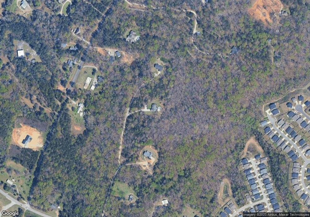
Map
Nearby Homes
- 1115 Portrait Hill Dr
- 1137 Portrait Hill Dr
- 0 Mt Olivet Church Rd Unit 617090
- 442 Maria Posada Ct
- 3691 Kennerly Rd
- 1511 Pet Sites Rd
- 133 Monroe Preserve Ln
- 114 Monroe Preserve Ln
- 109 Monroe Preserve Ln
- 149 Monroe Preserve Ln
- 145 Monroe Preserve Ln
- 105 Monroe Preserve Ln
- 117 Monroe Preserve Ln
- 110 Monroe Preserve Ln
- 113 Monroe Preserve Ln
- 100 Stone Hill Rd
- 10 Doe Dr
- 11437 Broad River
- 756 Kimsey Dr
- 947 Stradley Ln
- 120 Ellis Derrick Ln
- 152 Ellis Derrick Ln
- 1120 Pet Sites Rd
- 1110 Pet Sites Rd
- 1124 Pet Sites Rd
- 108 Ellis Derrick Ln
- 1121 Pet Sites Rd
- 1132 Pet Sites Rd
- 199 Lockleigh Ln Unit 80
- 11696 Broad River Rd
- 1125 Pet Sites Rd
- 197 Lockleigh Ln
- 195 Lockleigh Ln
- 1210 Pet Sites Rd
- 11706 Broad River Rd
- 11700 Broad River Rd
- 191 Lockleigh Ln
- 191 Lockleigh Ln Unit 77
- 1131 Pet Sites Rd
- 334 Renoir Ln