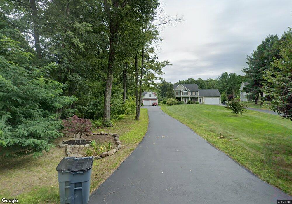
136 Floral St Shrewsbury, MA 01545
Estimated Value: $870,000 - $1,294,000
4
Beds
3
Baths
2,425
Sq Ft
$417/Sq Ft
Est. Value
About This Home
This home is located at 136 Floral St, Shrewsbury, MA 01545 and is currently estimated at $1,010,487, approximately $416 per square foot. 136 Floral St is a home with nearby schools including Floral Street School, Sherwood Middle School, and Oak Middle School.
Ownership History
Date
Name
Owned For
Owner Type
Purchase Details
Closed on
Aug 30, 2013
Sold by
Monogram Builders Llc
Bought by
Taricco Mark A and Taricco Angela
Current Estimated Value
Home Financials for this Owner
Home Financials are based on the most recent Mortgage that was taken out on this home.
Original Mortgage
$370,960
Outstanding Balance
$270,653
Interest Rate
4%
Mortgage Type
New Conventional
Estimated Equity
$739,834
Purchase Details
Closed on
Nov 7, 2012
Sold by
Nuzzolilo Victor J
Bought by
Monogram Builders Inc
Home Financials for this Owner
Home Financials are based on the most recent Mortgage that was taken out on this home.
Original Mortgage
$415,000
Interest Rate
3.42%
Mortgage Type
New Conventional
Create a Home Valuation Report for This Property
The Home Valuation Report is an in-depth analysis detailing your home's value as well as a comparison with similar homes in the area
Home Values in the Area
Average Home Value in this Area
Purchase History
| Date | Buyer | Sale Price | Title Company |
|---|---|---|---|
| Taricco Mark A | $463,700 | -- | |
| Monogram Builders Inc | $50,000 | -- | |
| Monogram Builders Inc | $50,000 | -- |
Source: Public Records
Mortgage History
| Date | Status | Borrower | Loan Amount |
|---|---|---|---|
| Open | Taricco Mark A | $370,960 | |
| Closed | Taricco Mark A | $370,960 | |
| Previous Owner | Monogram Builders Inc | $415,000 |
Source: Public Records
Tax History Compared to Growth
Tax History
| Year | Tax Paid | Tax Assessment Tax Assessment Total Assessment is a certain percentage of the fair market value that is determined by local assessors to be the total taxable value of land and additions on the property. | Land | Improvement |
|---|---|---|---|---|
| 2025 | $107 | $888,200 | $339,800 | $548,400 |
| 2024 | $10,756 | $868,800 | $323,500 | $545,300 |
| 2023 | $10,276 | $783,200 | $323,500 | $459,700 |
| 2022 | $8,975 | $636,100 | $254,200 | $381,900 |
| 2021 | $8,067 | $611,600 | $254,200 | $357,400 |
| 2020 | $7,430 | $595,800 | $231,100 | $364,700 |
| 2019 | $6,963 | $553,900 | $217,100 | $336,800 |
| 2018 | $6,782 | $535,700 | $208,600 | $327,100 |
| 2017 | $6,394 | $498,400 | $180,800 | $317,600 |
| 2016 | $6,426 | $494,300 | $178,600 | $315,700 |
| 2015 | $5,989 | $453,700 | $165,300 | $288,400 |
Source: Public Records
Map
Nearby Homes
- 65 Commons Dr Unit 502
- 65 Commons Dr Unit 410
- 85 Commons Dr Unit 210
- 39 Harvard Ave
- 3 Brookdale Cir
- 24 Brook St
- 562 South St
- 10 Falcon Dr
- 39 Old Brook Rd
- 4 Horseneck Rd
- 603 South St
- 22 Hitching Post Ln
- 457 Walnut St
- Lot 3 Cherry St
- Lot 2 Cherry St
- 28 Cherry St
- 18 Eastwood Rd
- 11 Hillside Rd
- 165 Green St
- 9 Arnold Rd