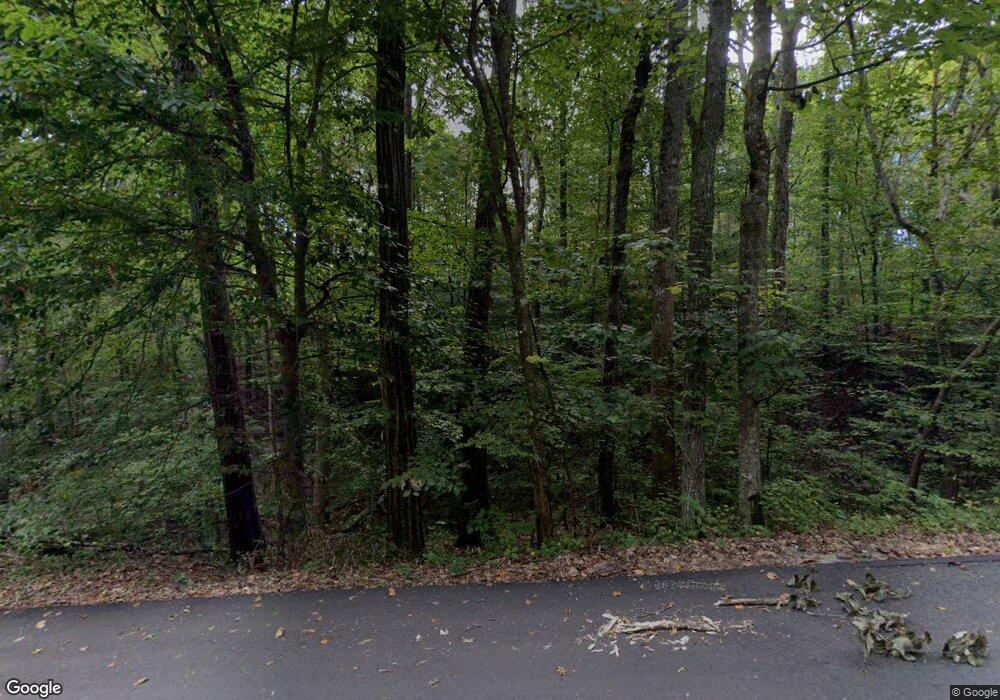
136 Grant Trail Dawsonville, GA 30534
Dawson County NeighborhoodEstimated Value: $289,000 - $313,000
2
Beds
2
Baths
1,040
Sq Ft
$291/Sq Ft
Est. Value
About This Home
This home is located at 136 Grant Trail, Dawsonville, GA 30534 and is currently estimated at $302,962, approximately $291 per square foot. 136 Grant Trail is a home located in Dawson County with nearby schools including Kilough Elementary School, Dawson County Middle School, and Dawson County Junior High School.
Ownership History
Date
Name
Owned For
Owner Type
Purchase Details
Closed on
Feb 17, 2017
Sold by
Ga 30534 Dawsonville Trust
Bought by
Lochotzki Steven M and Lochotzki Natali B
Current Estimated Value
Home Financials for this Owner
Home Financials are based on the most recent Mortgage that was taken out on this home.
Original Mortgage
$136,262
Outstanding Balance
$112,470
Interest Rate
4.09%
Mortgage Type
New Conventional
Estimated Equity
$190,492
Purchase Details
Closed on
Sep 8, 2016
Sold by
Dwm Inc
Bought by
Kareh Mj El and 30534 Dawsonville Trust 30534
Create a Home Valuation Report for This Property
The Home Valuation Report is an in-depth analysis detailing your home's value as well as a comparison with similar homes in the area
Home Values in the Area
Average Home Value in this Area
Purchase History
| Date | Buyer | Sale Price | Title Company |
|---|---|---|---|
| Lochotzki Steven M | $134,900 | -- | |
| Kareh Mj El | $440,000 | -- |
Source: Public Records
Mortgage History
| Date | Status | Borrower | Loan Amount |
|---|---|---|---|
| Open | Lochotzki Steven M | $136,262 |
Source: Public Records
Tax History Compared to Growth
Tax History
| Year | Tax Paid | Tax Assessment Tax Assessment Total Assessment is a certain percentage of the fair market value that is determined by local assessors to be the total taxable value of land and additions on the property. | Land | Improvement |
|---|---|---|---|---|
| 2024 | $1,639 | $102,760 | $20,000 | $82,760 |
| 2023 | $1,639 | $108,920 | $20,000 | $88,920 |
| 2022 | $1,560 | $74,840 | $16,000 | $58,840 |
| 2021 | $1,312 | $60,000 | $16,000 | $44,000 |
| 2020 | $1,330 | $58,200 | $16,000 | $42,200 |
| 2019 | $1,112 | $48,600 | $16,000 | $32,600 |
| 2018 | $1,114 | $48,600 | $16,000 | $32,600 |
| 2017 | $328 | $40,012 | $10,000 | $30,012 |
| 2016 | $482 | $20,154 | $10,000 | $10,154 |
| 2015 | $564 | $22,854 | $10,000 | $12,854 |
| 2014 | $537 | $21,087 | $10,000 | $11,087 |
| 2013 | -- | $17,494 | $8,000 | $9,494 |
Source: Public Records
Map
Nearby Homes
- 89 Silver Fox Dr
- 57 Toto Dr
- 94 Dawson Dr
- 173 Mountainside Dr E
- 88 Toto Creek Dr W
- 12 Springleaf Way
- 22 Springleaf Way
- 289 Chestatee View Dr
- Savoy Plan at Creekside
- Pearson Plan at Creekside
- Hampstead Plan at Creekside
- 31 Briarwood Dr W
- 187 Oak Creek Dr
- 131 Plantation Dr
- 56 Knollwood Ct
- 537 Chestatee View Dr
- 75 Stoneridge Ct
- 145 Dogwood Way
- 1619 Price Rd
- 0 Nix Bridge Rd Unit 23130821
- 331 Grant Ford Dr
- 308 Silver Fox Dr
- 112 Grant Trail
- 121 Grant Trail
- 121 Grant Trail
- 0 Juniper Ln Unit 8864874
- 0 Juniper Ln Unit 7174225
- 0 Juniper Ln
- 307 Silver Fox Dr
- 176 Grant Trail
- 0 Grant Trail Unit 7049250
- 0 Grant Trail Unit 7384346
- 0 Grant Trail
- 167 Grant Trail Unit 5
- 167 Grant Trail
- 131 Grant Trail
- 209 Grant Trail
- 353 Grant Ford Dr
- 67 Grant Trail
- 273 Grant Ford Dr
