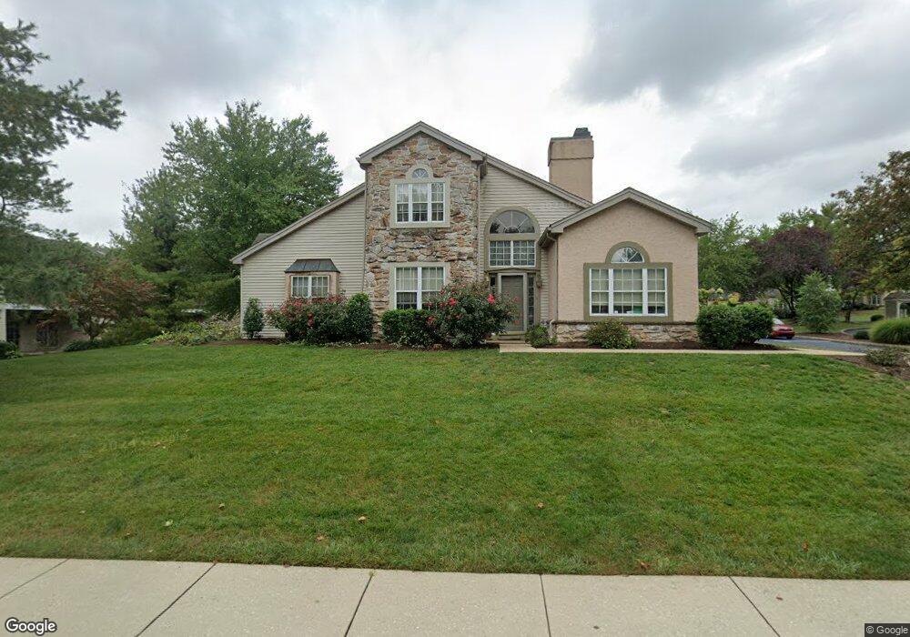
136 Greenview Dr Unit E6136 Lancaster, PA 17601
Landis Valley NeighborhoodEstimated Value: $365,043 - $416,000
2
Beds
3
Baths
2,271
Sq Ft
$174/Sq Ft
Est. Value
About This Home
This home is located at 136 Greenview Dr Unit E6136, Lancaster, PA 17601 and is currently estimated at $396,011, approximately $174 per square foot. 136 Greenview Dr Unit E6136 is a home located in Lancaster County with nearby schools including Nitrauer School, Landis Run Intermediate School, and Manheim Township Middle School.
Ownership History
Date
Name
Owned For
Owner Type
Purchase Details
Closed on
May 16, 2005
Sold by
Plastino David A
Bought by
Schachter Rita L
Current Estimated Value
Create a Home Valuation Report for This Property
The Home Valuation Report is an in-depth analysis detailing your home's value as well as a comparison with similar homes in the area
Home Values in the Area
Average Home Value in this Area
Purchase History
| Date | Buyer | Sale Price | Title Company |
|---|---|---|---|
| Schachter Rita L | $205,000 | First American Title Ins Co |
Source: Public Records
Tax History
| Year | Tax Paid | Tax Assessment Tax Assessment Total Assessment is a certain percentage of the fair market value that is determined by local assessors to be the total taxable value of land and additions on the property. | Land | Improvement |
|---|---|---|---|---|
| 2025 | $4,157 | $192,100 | -- | $192,100 |
| 2024 | $4,157 | $192,100 | -- | $192,100 |
| 2023 | $4,048 | $192,100 | $0 | $192,100 |
| 2022 | $3,980 | $192,100 | $0 | $192,100 |
| 2021 | $3,891 | $192,100 | $0 | $192,100 |
| 2020 | $3,891 | $192,100 | $0 | $192,100 |
| 2019 | $3,853 | $192,100 | $0 | $192,100 |
| 2018 | $2,795 | $192,100 | $0 | $192,100 |
| 2017 | $3,728 | $146,500 | $0 | $146,500 |
| 2016 | $3,728 | $146,500 | $0 | $146,500 |
| 2015 | $937 | $146,500 | $0 | $146,500 |
| 2014 | $2,623 | $146,500 | $0 | $146,500 |
Source: Public Records
Map
Nearby Homes
- 147 Greenview Dr
- 586 Stockdale Dr
- 672 Stockdale Dr
- 509 Brookshire Dr
- 505 Brookshire Dr
- 35 Henry Ct
- 1247 Hershey Ln
- 2545 Saddle Dr
- 1150 Groff Ln
- 539 Sierra Ln
- 1231 Hershey Ln
- 1981 Landis Valley Rd
- 1922 Pickering Trail
- 1229 Hershey Ln
- 1229 Hershey Ln Unit CRESTWOOD
- 1923 Pickering Trail
- 1919 Pickering Trail
- 357 Valleybrook Dr
- 1914 Pickering Trail
- 514 Dolly Dr
- 135 Greenview Dr
- 137 Greenview Dr
- 137 Greenview Dr Unit E6137
- 134 Greenview Dr
- 134 Greenview Dr Unit E6134
- 203 Greenview Dr
- 201 Greenview Dr
- 201 Greenview Dr Unit T1201
- 205 Greenview Dr Unit T1205
- 207 Greenview Dr
- 204 Greenview Dr Unit T1204
- 206 Greenview Dr
- 202 Greenview Dr
- 209 Greenview Dr
- 208 Greenview Dr Unit T1208
- 210 Greenview Dr
- 120 Greenview Dr
- 133 Greenview Dr
- 132 Greenview Dr
- 121 Greenview Dr
Your Personal Tour Guide
Ask me questions while you tour the home.