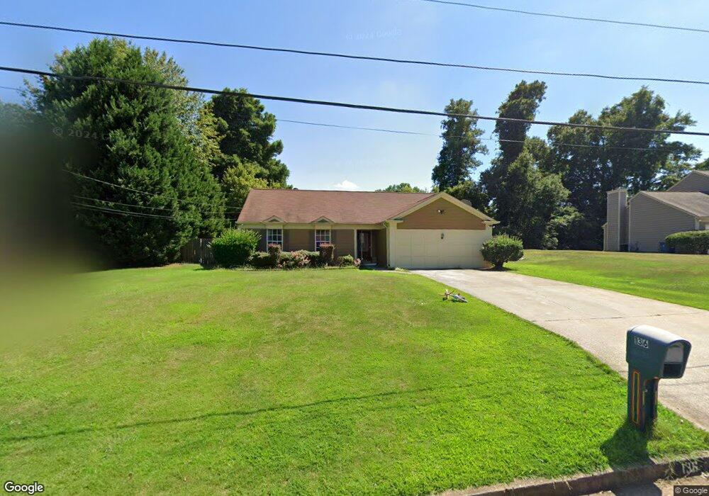
136 Heathrow Dr Riverdale, GA 30274
Estimated Value: $214,000 - $255,000
3
Beds
2
Baths
1,477
Sq Ft
$156/Sq Ft
Est. Value
About This Home
This home is located at 136 Heathrow Dr, Riverdale, GA 30274 and is currently estimated at $230,758, approximately $156 per square foot. 136 Heathrow Dr is a home located in Clayton County with nearby schools including Harper Elementary School, Sequoyah Middle School, and Charles R. Drew High School.
Ownership History
Date
Name
Owned For
Owner Type
Purchase Details
Closed on
Aug 6, 2021
Sold by
Malik Hassan
Bought by
Tani Gulab
Current Estimated Value
Home Financials for this Owner
Home Financials are based on the most recent Mortgage that was taken out on this home.
Original Mortgage
$157,102
Outstanding Balance
$142,854
Interest Rate
2.9%
Mortgage Type
FHA
Estimated Equity
$87,904
Purchase Details
Closed on
Apr 25, 2007
Sold by
Blacks Patricia Y
Bought by
Malik Hassan
Home Financials for this Owner
Home Financials are based on the most recent Mortgage that was taken out on this home.
Original Mortgage
$38,000
Interest Rate
4.5%
Mortgage Type
New Conventional
Create a Home Valuation Report for This Property
The Home Valuation Report is an in-depth analysis detailing your home's value as well as a comparison with similar homes in the area
Home Values in the Area
Average Home Value in this Area
Purchase History
| Date | Buyer | Sale Price | Title Company |
|---|---|---|---|
| Tani Gulab | $160,000 | -- | |
| Malik Hassan | $110,000 | -- |
Source: Public Records
Mortgage History
| Date | Status | Borrower | Loan Amount |
|---|---|---|---|
| Open | Tani Gulab | $157,102 | |
| Previous Owner | Malik Hassan | $38,000 |
Source: Public Records
Tax History Compared to Growth
Tax History
| Year | Tax Paid | Tax Assessment Tax Assessment Total Assessment is a certain percentage of the fair market value that is determined by local assessors to be the total taxable value of land and additions on the property. | Land | Improvement |
|---|---|---|---|---|
| 2024 | $2,940 | $85,360 | $5,600 | $79,760 |
| 2023 | $2,760 | $86,360 | $5,600 | $80,760 |
| 2022 | $1,788 | $61,840 | $5,600 | $56,240 |
| 2021 | $792 | $52,160 | $5,600 | $46,560 |
| 2020 | $1,592 | $45,364 | $5,600 | $39,764 |
| 2019 | $1,472 | $41,366 | $5,600 | $35,766 |
| 2018 | $1,019 | $38,625 | $5,600 | $33,025 |
| 2017 | $585 | $34,139 | $5,600 | $28,539 |
| 2016 | $697 | $29,518 | $5,600 | $23,918 |
| 2015 | $693 | $0 | $0 | $0 |
| 2014 | $509 | $24,604 | $5,600 | $19,004 |
Source: Public Records
Map
Nearby Homes
- 6763 Valley Hill Ct
- 6643 Westfield Dr
- 226 Stayman Dr
- 6860 Mountain Cir
- 6671 Gano Dr
- 6605 Black Bend Ct
- 242 Shenandoah Dr
- 6888 Mountain Cir
- 295 Valley Hill Rd SW
- 255 Tara Woods Dr
- 290 Valley Hill Rd SW
- 239 Slicky Rock Ct
- 6847 Oak View Ct
- 6657 Baldwin Ct
- 175 Slicky Rock Ct
- 6977 Eunice Dr
- 6544 River Park Dr
- 90 Jonathan Rd
- 123 Oldenburg Dr
- 124 Heathrow Dr
- 146 Heathrow Dr
- 597 Roxbury Dr Unit 597
- 593 Roxbury Dr
- 116 Heathrow Dr
- 133 Gatwick Ct
- 601 Roxbury Dr
- 154 Heathrow Dr
- 132 Gatwick Ct
- 589 Roxbury Dr
- 108 Heathrow Dr
- 157 Heathrow Dr
- 605 Roxbury Dr Unit 1
- 129 Gatwick Ct
- 129 Gatwick Ct Unit /25
- 128 Gatwick Ct
- 160 Heathrow Dr
- 585 Roxbury Dr
- 100 Heathrow Dr
- 105 Heathrow Dr