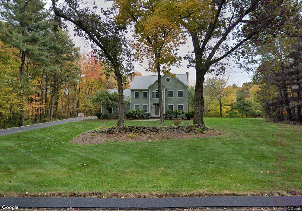
136 Joseph Rd Boxborough, MA 01719
Estimated Value: $1,035,917 - $1,496,000
4
Beds
4
Baths
3,026
Sq Ft
$399/Sq Ft
Est. Value
About This Home
This home is located at 136 Joseph Rd, Boxborough, MA 01719 and is currently estimated at $1,206,479, approximately $398 per square foot. 136 Joseph Rd is a home located in Middlesex County with nearby schools including Acton-Boxborough Regional High School.
Ownership History
Date
Name
Owned For
Owner Type
Purchase Details
Closed on
Jun 12, 2009
Sold by
Gildner Will W and Gildner Elizabeth A
Bought by
Romeo Christine and Romeo Jeff
Current Estimated Value
Home Financials for this Owner
Home Financials are based on the most recent Mortgage that was taken out on this home.
Original Mortgage
$505,600
Interest Rate
4.82%
Mortgage Type
Purchase Money Mortgage
Purchase Details
Closed on
Jun 27, 2008
Sold by
Rubin Margaret W and Woodruff Margaret
Bought by
Gildner Elizabeth A and Gildner Will W
Home Financials for this Owner
Home Financials are based on the most recent Mortgage that was taken out on this home.
Original Mortgage
$541,450
Interest Rate
6.07%
Mortgage Type
VA
Purchase Details
Closed on
May 20, 1994
Sold by
Northwest Structures
Bought by
Rubin Margaret W
Create a Home Valuation Report for This Property
The Home Valuation Report is an in-depth analysis detailing your home's value as well as a comparison with similar homes in the area
Home Values in the Area
Average Home Value in this Area
Purchase History
| Date | Buyer | Sale Price | Title Company |
|---|---|---|---|
| Romeo Christine | $632,000 | -- | |
| Romeo Christine | $632,000 | -- | |
| Gildner Elizabeth A | $668,500 | -- | |
| Gildner Elizabeth A | $668,500 | -- | |
| Gildner Elizabeth A | $668,500 | -- | |
| Rubin Margaret W | $100,000 | -- | |
| Rubin Margaret W | $100,000 | -- |
Source: Public Records
Mortgage History
| Date | Status | Borrower | Loan Amount |
|---|---|---|---|
| Open | Rubin Margaret W | $490,000 | |
| Closed | Romeo Christine | $505,600 | |
| Previous Owner | Gildner Elizabeth A | $541,450 |
Source: Public Records
Tax History
| Year | Tax Paid | Tax Assessment Tax Assessment Total Assessment is a certain percentage of the fair market value that is determined by local assessors to be the total taxable value of land and additions on the property. | Land | Improvement |
|---|---|---|---|---|
| 2025 | $15,185 | $1,003,000 | $294,200 | $708,800 |
| 2024 | $14,040 | $936,600 | $282,700 | $653,900 |
| 2023 | $13,405 | $863,700 | $254,800 | $608,900 |
| 2022 | $12,800 | $734,800 | $254,800 | $480,000 |
| 2020 | $11,510 | $688,400 | $254,800 | $433,600 |
| 2019 | $11,304 | $688,400 | $254,800 | $433,600 |
| 2018 | $10,702 | $651,000 | $242,800 | $408,200 |
| 2017 | $10,753 | $639,700 | $244,500 | $395,200 |
| 2016 | $10,199 | $623,400 | $244,500 | $378,900 |
| 2015 | $10,276 | $617,200 | $244,100 | $373,100 |
| 2014 | $10,340 | $584,500 | $241,600 | $342,900 |
Source: Public Records
Map
Nearby Homes
- 79 Old Orchard Ln
- 4 Littlefield Rd
- 959 Hill Rd
- 20 Lyons Ln Unit 20
- 77 Wheeler Dr Unit 77
- 36 Leonard Rd
- 631 Massachusetts Ave Unit 631
- 60 Nashoba Rd
- 235 Arlington St
- 5 Perkins Ln
- 40 Fifers Ln
- 92 Willow St Unit 3
- 92 Willow St Unit 2
- 90 Willow St Unit 1
- 20 Joseph Reed Ln
- 50 Spencer Rd Unit 12L
- 15 Spencer Rd Unit 12E
- 79 Charter Rd
- 4 Omega Way
- 220 Swanson Rd Unit 605
Your Personal Tour Guide
Ask me questions while you tour the home.