136 Kens Place McCall, ID 83638
Estimated Value: $973,437 - $1,215,000
3
Beds
2
Baths
2,304
Sq Ft
$465/Sq Ft
Est. Value
About This Home
This home is located at 136 Kens Place, McCall, ID 83638 and is currently estimated at $1,071,359, approximately $464 per square foot. 136 Kens Place is a home with nearby schools including McCall-Donnelly High School.
Ownership History
Date
Name
Owned For
Owner Type
Purchase Details
Closed on
Mar 7, 2022
Sold by
Baker Jeffrey L
Bought by
Baker Jeffrey L
Current Estimated Value
Purchase Details
Closed on
Feb 21, 2019
Sold by
Baker Susan F
Bought by
Baker Jeffrey L
Purchase Details
Closed on
Apr 19, 2007
Sold by
Baker Jeffrey L and Hawkins Susan F
Bought by
Baker Jeffrey L and Baker Susan F
Home Financials for this Owner
Home Financials are based on the most recent Mortgage that was taken out on this home.
Original Mortgage
$340,000
Interest Rate
6.1%
Mortgage Type
New Conventional
Create a Home Valuation Report for This Property
The Home Valuation Report is an in-depth analysis detailing your home's value as well as a comparison with similar homes in the area
Purchase History
| Date | Buyer | Sale Price | Title Company |
|---|---|---|---|
| Baker Jeffrey L | -- | Amerititle | |
| Baker Jeffrey L | -- | None Available | |
| Baker Jeffrey L | -- | -- |
Source: Public Records
Mortgage History
| Date | Status | Borrower | Loan Amount |
|---|---|---|---|
| Previous Owner | Baker Jeffrey L | $340,000 |
Source: Public Records
Tax History
| Year | Tax Paid | Tax Assessment Tax Assessment Total Assessment is a certain percentage of the fair market value that is determined by local assessors to be the total taxable value of land and additions on the property. | Land | Improvement |
|---|---|---|---|---|
| 2025 | $1,789 | $949,858 | $213,424 | $736,434 |
| 2023 | $1,789 | $969,067 | $220,273 | $748,794 |
| 2022 | $1,877 | $836,578 | $209,797 | $626,781 |
| 2021 | $1,955 | $602,530 | $67,194 | $535,336 |
| 2020 | $1,823 | $475,340 | $54,676 | $420,664 |
| 2019 | $1,636 | $416,075 | $52,072 | $364,003 |
| 2018 | $1,661 | $394,775 | $55,291 | $339,484 |
| 2017 | $1,447 | $325,374 | $57,560 | $267,814 |
| 2016 | $1,526 | $327,004 | $49,199 | $277,805 |
Source: Public Records
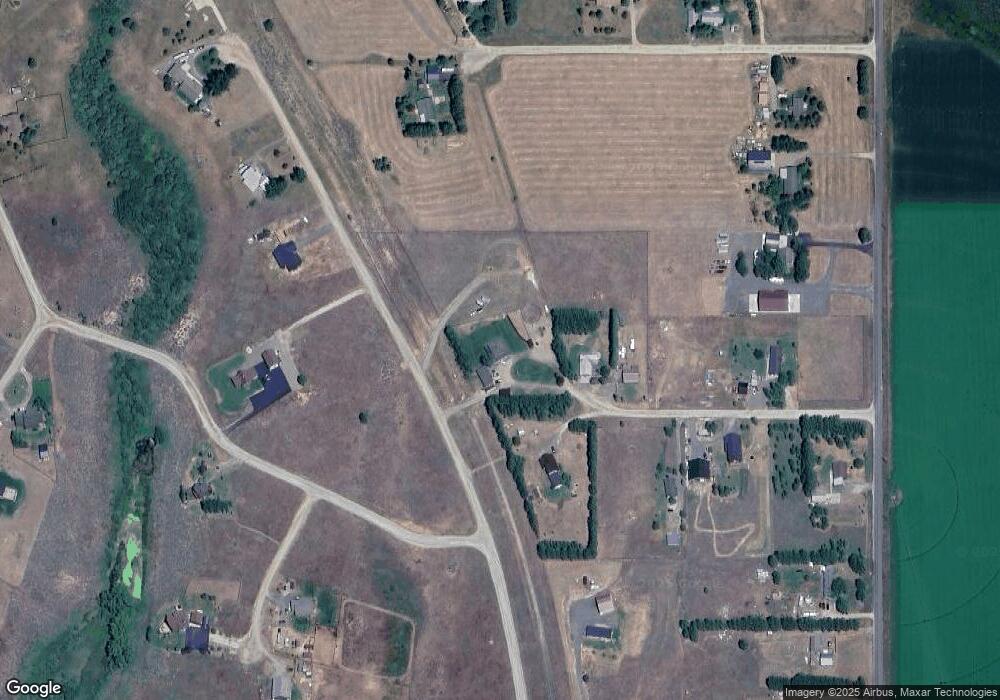
Map
Nearby Homes
- 13876 Williams Rd
- 181 W Lake Fork Rd
- 13901 Sky View Ct
- 13901 Sky View Ct Unit 2
- 13897 Sky View Ct
- 39 Sunbridge Dr
- 41 Sunbridge Dr
- 102 Johnson Ln
- 13958 Turner Rd
- 29 Compass Ln Unit 20
- 6 Compass Ln
- Lot 16 Compass Ln Unit 16
- 269 Moon Dr Unit 78
- 14059 Mulberry
- 22 Compass Ln Unit 6
- 14066 Mulberry St
- 10421 Easy St
- 34 Compass Ln Unit 8
- Lot 2 Wood Run Trail Unit 2
- 13955 Country Way
- 134 Kens Place
- 0 Mathwig Rd Unit 25 422250
- Lo t 2 Mathwig Rd Unit 2
- 000 Mathwig Rd
- 0 Mathwig Rd Unit 25
- TBD Mathwig Rd Unit 28
- L25 Mathwig Rd Unit 25
- TBD Mathwig Rd Unit 1
- TBD Mathwig Rd Unit 23
- Lot 2 Mathwig Rd
- TBD L25 Mathwig Rd Unit 25
- TBD Mathwig Rd
- 135 Kens Place
- 133 Kens Place
- 36 Brookdale Dr
- 127 Kens Place
- 106 Brookdale Dr
- 13879 Mathwig Rd
- 13869 Norwood Rd
- T Barber Ct Unit 8
Your Personal Tour Guide
Ask me questions while you tour the home.