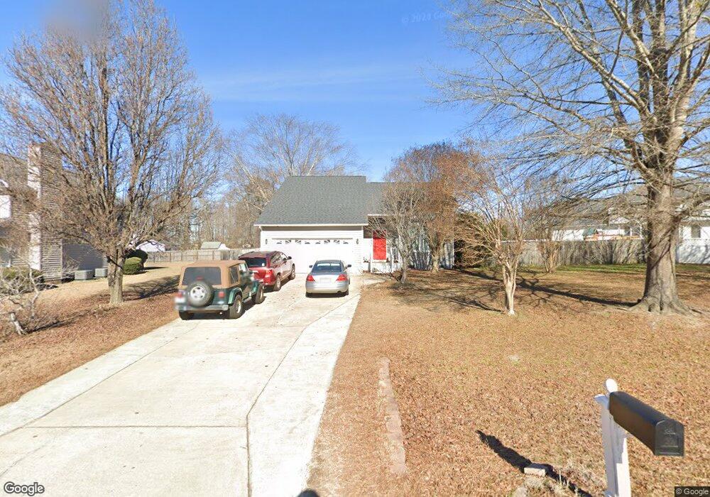
136 Kings Way Angier, NC 27501
Estimated Value: $244,000 - $309,346
3
Beds
3
Baths
1,500
Sq Ft
$189/Sq Ft
Est. Value
About This Home
This home is located at 136 Kings Way, Angier, NC 27501 and is currently estimated at $283,087, approximately $188 per square foot. 136 Kings Way is a home located in Harnett County with nearby schools including Angier Elementary School, North Harnett Primary School, and Harnett Central Middle School.
Ownership History
Date
Name
Owned For
Owner Type
Purchase Details
Closed on
May 18, 2022
Sold by
Sfr Xii Raleigh Owner 1 Lp
Bought by
Sfr Xii Nm Raleigh Owner 1 Lp
Current Estimated Value
Purchase Details
Closed on
Dec 22, 2021
Sold by
Local Investor Llc
Bought by
Sfr Xii Raleigh Owner 1 Lp
Purchase Details
Closed on
Dec 21, 2021
Sold by
Olsen Susan M and Olsen Christopher Ir
Bought by
Local Investor Llc
Purchase Details
Closed on
Jul 30, 1999
Bought by
Olsen Christopher L
Create a Home Valuation Report for This Property
The Home Valuation Report is an in-depth analysis detailing your home's value as well as a comparison with similar homes in the area
Home Values in the Area
Average Home Value in this Area
Purchase History
| Date | Buyer | Sale Price | Title Company |
|---|---|---|---|
| Sfr Xii Nm Raleigh Owner 1 Lp | -- | Novare National Settlement | |
| Sfr Xii Nm Raleigh Owner 1 Lp | -- | Novare National Settlement | |
| Sfr Xii Raleigh Owner 1 Lp | $257,500 | None Available | |
| Local Investor Llc | $170,000 | Investors Title Insurance Co | |
| Local Investor Llc | $170,000 | New Title Company Name | |
| Olsen Christopher L | $112,000 | -- |
Source: Public Records
Tax History Compared to Growth
Tax History
| Year | Tax Paid | Tax Assessment Tax Assessment Total Assessment is a certain percentage of the fair market value that is determined by local assessors to be the total taxable value of land and additions on the property. | Land | Improvement |
|---|---|---|---|---|
| 2025 | $1,300 | $179,715 | $0 | $0 |
| 2024 | $1,300 | $179,715 | $0 | $0 |
| 2023 | $1,282 | $179,715 | $0 | $0 |
| 2022 | $1,215 | $179,715 | $0 | $0 |
| 2021 | $1,215 | $137,780 | $0 | $0 |
| 2020 | $1,215 | $137,780 | $0 | $0 |
| 2019 | $1,200 | $137,780 | $0 | $0 |
| 2018 | $1,200 | $137,780 | $0 | $0 |
| 2017 | $1,200 | $137,780 | $0 | $0 |
| 2016 | $1,116 | $127,520 | $0 | $0 |
| 2015 | $1,116 | $127,520 | $0 | $0 |
| 2014 | $1,116 | $127,520 | $0 | $0 |
Source: Public Records
Map
Nearby Homes
- 90 Stone Apiary Dr
- 78 Stone Apiary Dr
- 57 Stone Apiary Dr
- 65 Stone Apiary Dr
- 32 Red Clover Dr
- 16 Red Clover Dr
- 38 Red Clover Dr
- 28 Red Clover Dr
- 33 Stone Apiary Dr
- 50 Stone Apairy Dr
- 20 Red Clover Dr
- 73 Stone Apairy Dr
- 100 Stone Apairy Dr
- 24 Red Clover Dr
- 15 Stone Apairy Dr
- 100 Stone Apiary Dr
- 113 Stone Apairy Dr
- 105 Stone Apairy Dr
- 93 Stone Apairy Dr
- 33 Stone Apairy Dr