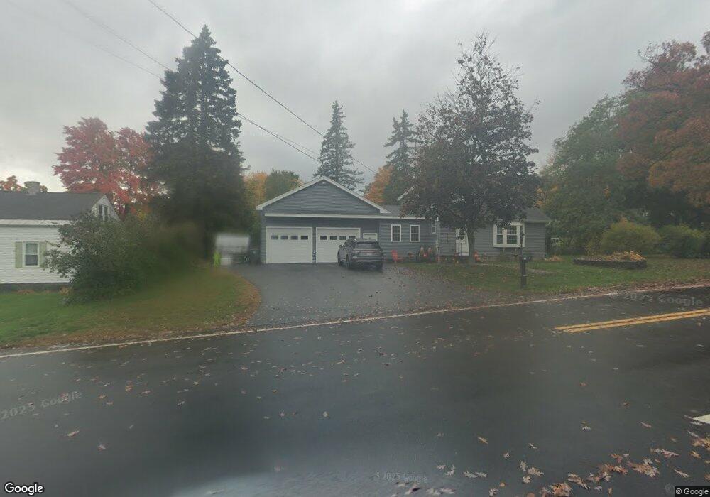
136 Manchester St Leominster, MA 01453
Estimated Value: $426,000 - $489,000
3
Beds
1
Bath
1,008
Sq Ft
$451/Sq Ft
Est. Value
About This Home
This home is located at 136 Manchester St, Leominster, MA 01453 and is currently estimated at $454,716, approximately $451 per square foot. 136 Manchester St is a home located in Worcester County with nearby schools including Leominster High School, St. Anna Catholic School, and St. Leo School.
Ownership History
Date
Name
Owned For
Owner Type
Purchase Details
Closed on
Apr 23, 2010
Sold by
Perla Patrick and Radock Peter
Bought by
Reinbold Melissa A and Byington Jeremy J
Current Estimated Value
Home Financials for this Owner
Home Financials are based on the most recent Mortgage that was taken out on this home.
Original Mortgage
$155,230
Outstanding Balance
$105,916
Interest Rate
5.5%
Mortgage Type
FHA
Estimated Equity
$348,800
Purchase Details
Closed on
May 15, 2007
Sold by
Valeri Laura
Bought by
Perla Patrick and Radock Peter
Home Financials for this Owner
Home Financials are based on the most recent Mortgage that was taken out on this home.
Original Mortgage
$47,400
Interest Rate
6.21%
Mortgage Type
Purchase Money Mortgage
Create a Home Valuation Report for This Property
The Home Valuation Report is an in-depth analysis detailing your home's value as well as a comparison with similar homes in the area
Home Values in the Area
Average Home Value in this Area
Purchase History
| Date | Buyer | Sale Price | Title Company |
|---|---|---|---|
| Reinbold Melissa A | $155,000 | -- | |
| Perla Patrick | $237,000 | -- |
Source: Public Records
Mortgage History
| Date | Status | Borrower | Loan Amount |
|---|---|---|---|
| Open | Reinbold Melissa A | $155,230 | |
| Previous Owner | Perla Patrick | $47,400 |
Source: Public Records
Tax History Compared to Growth
Tax History
| Year | Tax Paid | Tax Assessment Tax Assessment Total Assessment is a certain percentage of the fair market value that is determined by local assessors to be the total taxable value of land and additions on the property. | Land | Improvement |
|---|---|---|---|---|
| 2025 | $5,724 | $408,000 | $145,500 | $262,500 |
| 2024 | $5,486 | $378,100 | $138,500 | $239,600 |
| 2023 | $5,326 | $342,700 | $120,500 | $222,200 |
| 2022 | $5,047 | $304,800 | $104,800 | $200,000 |
| 2021 | $4,859 | $268,000 | $81,500 | $186,500 |
| 2020 | $3,734 | $207,700 | $81,500 | $126,200 |
| 2019 | $3,719 | $200,600 | $77,600 | $123,000 |
| 2018 | $3,659 | $189,300 | $75,300 | $114,000 |
| 2017 | $3,437 | $174,200 | $70,400 | $103,800 |
| 2016 | $3,336 | $170,400 | $70,400 | $100,000 |
| 2015 | $3,264 | $167,900 | $70,400 | $97,500 |
| 2014 | $3,311 | $175,300 | $77,900 | $97,400 |
Source: Public Records
Map
Nearby Homes
- 0 Marjorie St
- 128 Manchester St
- 14 Joseph St
- 14 Joseph St Unit 2nd Floor
- 121 Colburn St
- 32 Marjorie
- 152 Manchester St
- 141 Manchester St
- 113 Colburn St
- 10 Woodworth St
- 129 Manchester St
- 131 Colburn St
- 233 Tisdale St
- 107 Colburn St
- 235 Tisdale St
- 245 Tisdale St
- 9 Lois St
- 10 Marjorie St
- 157 Manchester St
- 99 Colburn St