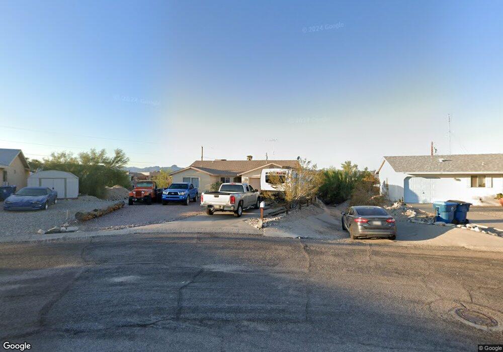
136 Mescal Loop Lake Havasu City, AZ 86403
Estimated Value: $359,259 - $437,000
--
Bed
1
Bath
1,349
Sq Ft
$306/Sq Ft
Est. Value
About This Home
This home is located at 136 Mescal Loop, Lake Havasu City, AZ 86403 and is currently estimated at $413,065, approximately $306 per square foot. 136 Mescal Loop is a home located in Mohave County with nearby schools including Smoketree Elementary School, Thunderbolt Middle School, and Lake Havasu High School.
Ownership History
Date
Name
Owned For
Owner Type
Purchase Details
Closed on
Mar 4, 2004
Sold by
Flagship Homes Sales & Marketing Llc
Bought by
Locurto Michael A and Locurto Ana Marie
Current Estimated Value
Home Financials for this Owner
Home Financials are based on the most recent Mortgage that was taken out on this home.
Original Mortgage
$158,900
Outstanding Balance
$73,742
Interest Rate
5.57%
Mortgage Type
Seller Take Back
Estimated Equity
$339,323
Purchase Details
Closed on
Aug 1, 2003
Sold by
Moffett Michael G and Moffett Mary Teresa
Bought by
Flagship Homes Inc
Create a Home Valuation Report for This Property
The Home Valuation Report is an in-depth analysis detailing your home's value as well as a comparison with similar homes in the area
Home Values in the Area
Average Home Value in this Area
Purchase History
| Date | Buyer | Sale Price | Title Company |
|---|---|---|---|
| Locurto Michael A | $166,900 | Transnation Title Ins Co | |
| Flagship Homes Inc | $38,850 | Transnation Title Ins Co |
Source: Public Records
Mortgage History
| Date | Status | Borrower | Loan Amount |
|---|---|---|---|
| Open | Locurto Michael A | $158,900 |
Source: Public Records
Tax History Compared to Growth
Tax History
| Year | Tax Paid | Tax Assessment Tax Assessment Total Assessment is a certain percentage of the fair market value that is determined by local assessors to be the total taxable value of land and additions on the property. | Land | Improvement |
|---|---|---|---|---|
| 2026 | -- | -- | -- | -- |
| 2025 | $1,158 | $31,274 | $0 | $0 |
| 2024 | $1,158 | $35,286 | $0 | $0 |
| 2023 | $1,158 | $31,688 | $0 | $0 |
| 2022 | $1,115 | $23,269 | $0 | $0 |
| 2021 | $1,299 | $20,171 | $0 | $0 |
| 2019 | $1,236 | $18,694 | $0 | $0 |
| 2018 | $1,196 | $17,109 | $0 | $0 |
| 2017 | $1,176 | $16,636 | $0 | $0 |
| 2016 | $1,046 | $14,947 | $0 | $0 |
| 2015 | $1,020 | $13,081 | $0 | $0 |
Source: Public Records
Map
Nearby Homes
- 2421 Mcculloch Blvd N
- 2301 Mcculloch Blvd N Unit E
- 2320 Pima Dr N
- 2291 Mcculloch Blvd N Unit 9
- 273 Acoma Blvd N
- 2176 Pima Dr N
- 320 Senita Ln
- 89 Acoma Blvd N
- 2535 Tradewind Dr
- 2294 Pheasant Ln
- 350 Acoma Blvd N
- 2147 Mcculloch Blvd N
- 3080 Mcculloch Blvd N
- 2580 Cadet Ln
- 2085 Mesquite Ave Unit 14
- 2085 Mesquite Ave Unit 61
- 2085 Mesquite Ave Unit 64
- 2627 Cisco Dr S
- 75 Acoma Blvd S
- 2444 Hummingbird Ln