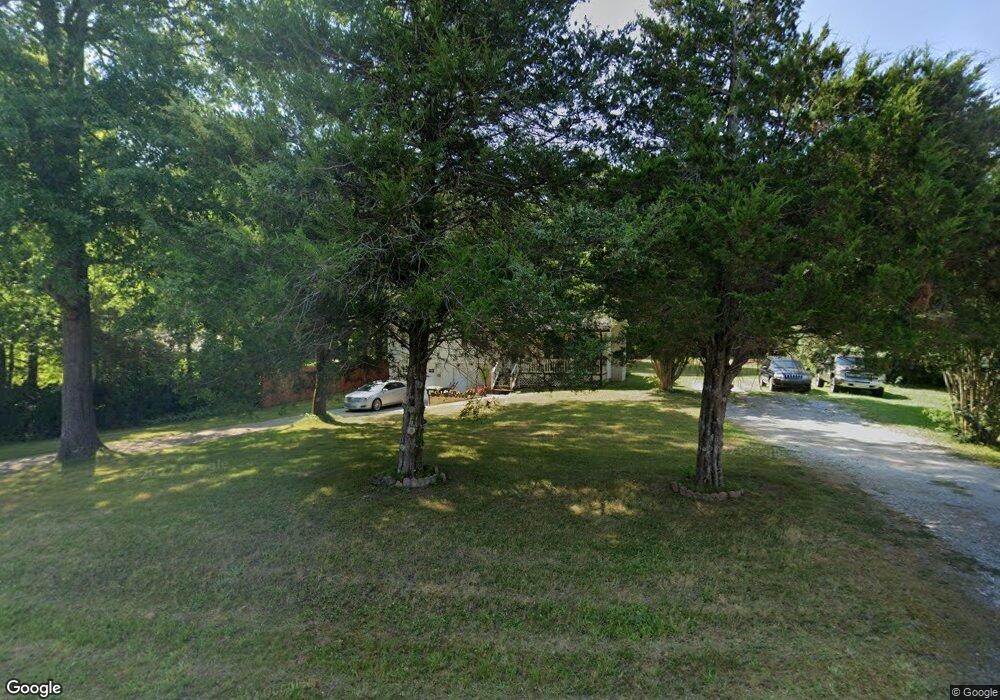
136 Mile Branch Canton, GA 30114
Oak Grove NeighborhoodEstimated Value: $277,687 - $362,000
3
Beds
1
Bath
1,080
Sq Ft
$280/Sq Ft
Est. Value
About This Home
This home is located at 136 Mile Branch, Canton, GA 30114 and is currently estimated at $302,422, approximately $280 per square foot. 136 Mile Branch is a home located in Cherokee County with nearby schools including Liberty Elementary School, Freedom Middle School, and Cherokee High School.
Ownership History
Date
Name
Owned For
Owner Type
Purchase Details
Closed on
Oct 13, 2021
Sold by
Mooney Teresa Anne
Bought by
Lora Blanca D and Bacre Pedro Luis
Current Estimated Value
Home Financials for this Owner
Home Financials are based on the most recent Mortgage that was taken out on this home.
Original Mortgage
$200,560
Outstanding Balance
$182,495
Interest Rate
2.8%
Mortgage Type
New Conventional
Estimated Equity
$119,927
Purchase Details
Closed on
Mar 27, 2007
Sold by
Lanier Family Trust
Bought by
Mooney Teresa A
Purchase Details
Closed on
Oct 30, 2001
Sold by
Wooten John W and Wooten Dorothy E
Bought by
Lanier Gail D
Home Financials for this Owner
Home Financials are based on the most recent Mortgage that was taken out on this home.
Original Mortgage
$125,037
Interest Rate
6.6%
Create a Home Valuation Report for This Property
The Home Valuation Report is an in-depth analysis detailing your home's value as well as a comparison with similar homes in the area
Home Values in the Area
Average Home Value in this Area
Purchase History
| Date | Buyer | Sale Price | Title Company |
|---|---|---|---|
| Lora Blanca D | $218,000 | -- | |
| Mooney Teresa A | $37,500 | -- | |
| Lanier Gail D | $127,000 | -- |
Source: Public Records
Mortgage History
| Date | Status | Borrower | Loan Amount |
|---|---|---|---|
| Open | Lora Blanca D | $200,560 | |
| Previous Owner | Lanier Gail D | $125,037 |
Source: Public Records
Tax History Compared to Growth
Tax History
| Year | Tax Paid | Tax Assessment Tax Assessment Total Assessment is a certain percentage of the fair market value that is determined by local assessors to be the total taxable value of land and additions on the property. | Land | Improvement |
|---|---|---|---|---|
| 2025 | $2,660 | $101,284 | $32,240 | $69,044 |
| 2024 | $2,199 | $84,604 | $20,160 | $64,444 |
| 2023 | $2,226 | $85,644 | $20,160 | $65,484 |
| 2022 | $1,720 | $65,444 | $20,160 | $45,284 |
| 2021 | $1,451 | $51,124 | $16,800 | $34,324 |
| 2020 | $1,336 | $47,004 | $16,800 | $30,204 |
| 2019 | $1,233 | $43,400 | $16,800 | $26,600 |
| 2018 | $1,204 | $42,120 | $16,800 | $25,320 |
| 2017 | $1,134 | $106,200 | $16,800 | $25,680 |
| 2016 | $1,134 | $97,400 | $15,200 | $23,760 |
| 2015 | $1,097 | $93,300 | $13,200 | $24,120 |
| 2014 | $1,029 | $87,300 | $11,400 | $23,520 |
Source: Public Records
Map
Nearby Homes
- 9764 Bells Ferry Rd
- 403 Juniper Mill Trace
- 198 Oak Hill Cir
- 645 Mile Branch Rd
- 226 Heron Pointe View
- 779 Holly St
- 1354 Bridgemill Ave
- 140 Stonegate Ln
- 148 Reddin Dr
- 201 Ridgeview Ct Unit 1
- 113 Gold Bridge Crossing
- 520 Waterside Ct
- 305 Ridge Rd
- 3085 Woodbridge Ln
- 313 Meadow Lark Crossing Unit 31
- 3087 Woodbridge Ln Unit 3L
- 664 Gold Valley Pass
- 136 Mile Branch Rd
- 120 Mile Branch Rd
- 156 Mile Branch Rd
- 142 Holly St
- 142 Holly St
- 180 Mile Branch Rd
- 165 Haynes Cir
- 276 Mile Branch Rd
- 131 Holly St
- 15 Holly St
- 289 Holly St
- 300 Mile Branch Rd
- 217 Mile Branch Rd
- 0 Bells Ferry Rd Unit Lot 16 8445308
- 0 Bells Ferry Rd Unit 8257091
- 0 Bells Ferry Rd Unit 16 8231256
- lot 16 Bells Ferry Rd
- 0 Bells Ferry Rd Unit C 2895051
- 0 Bells Ferry Rd Unit B 2895048
- 0 Bells Ferry Rd Unit 7510770