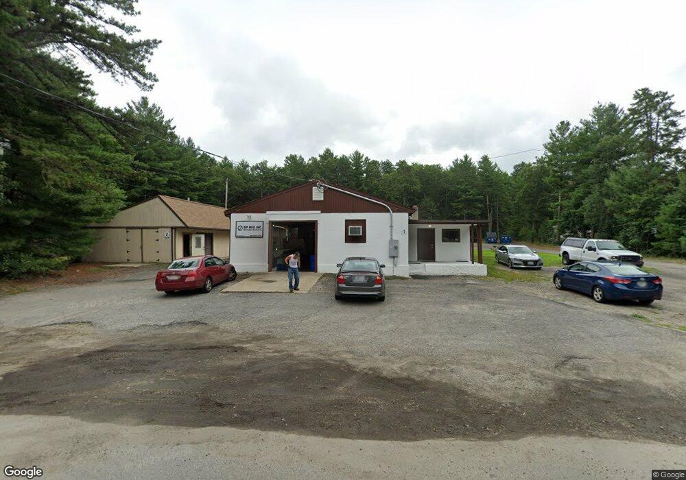
136 Mishnock Rd West Greenwich, RI 02817
Estimated Value: $388,446
--
Bed
--
Bath
2,048
Sq Ft
$190/Sq Ft
Est. Value
About This Home
This home is located at 136 Mishnock Rd, West Greenwich, RI 02817 and is currently estimated at $388,446, approximately $189 per square foot. 136 Mishnock Rd is a home located in Kent County with nearby schools including Mildred E. Lineham School, Metcalf School, and Wawaloam School.
Ownership History
Date
Name
Owned For
Owner Type
Purchase Details
Closed on
Mar 4, 2019
Sold by
Mclellan Wayne J and Mclellan Dianne L
Bought by
Mishmock Road Props
Current Estimated Value
Purchase Details
Closed on
Jan 10, 2019
Sold by
Mclellan Wayne J and Mclellan Dianne L
Bought by
Mishnock Road Properties
Purchase Details
Closed on
Sep 4, 1996
Sold by
Mallen Craig A and Mallen Elaine
Bought by
Mclellan Wayne J and Mclellan Dianne
Create a Home Valuation Report for This Property
The Home Valuation Report is an in-depth analysis detailing your home's value as well as a comparison with similar homes in the area
Home Values in the Area
Average Home Value in this Area
Purchase History
| Date | Buyer | Sale Price | Title Company |
|---|---|---|---|
| Mishmock Road Props | -- | -- | |
| Mishmock Road Props | -- | -- | |
| Mishnock Road Properties | -- | -- | |
| Mishnock Road Properties | -- | -- | |
| Mclellan Wayne J | $100,000 | -- | |
| Mclellan Wayne J | $100,000 | -- |
Source: Public Records
Mortgage History
| Date | Status | Borrower | Loan Amount |
|---|---|---|---|
| Previous Owner | Mclellan Wayne J | $310,000 | |
| Previous Owner | Mclellan Wayne J | $525,000 |
Source: Public Records
Tax History Compared to Growth
Tax History
| Year | Tax Paid | Tax Assessment Tax Assessment Total Assessment is a certain percentage of the fair market value that is determined by local assessors to be the total taxable value of land and additions on the property. | Land | Improvement |
|---|---|---|---|---|
| 2025 | $4,634 | $195,100 | $0 | $0 |
| 2024 | $0 | $195,100 | $0 | $0 |
| 2023 | $5,525 | $225,400 | $107,800 | $117,600 |
| 2022 | $5,525 | $225,400 | $107,800 | $117,600 |
| 2021 | $5,416 | $225,400 | $107,800 | $117,600 |
| 2020 | $5,362 | $225,400 | $107,800 | $117,600 |
| 2019 | $5,226 | $216,200 | $105,700 | $110,500 |
| 2018 | $5,140 | $230,900 | $105,700 | $125,200 |
| 2017 | $5,207 | $230,900 | $105,700 | $125,200 |
| 2016 | $4,941 | $219,100 | $100,600 | $118,500 |
| 2015 | $4,941 | $219,100 | $100,600 | $118,500 |
| 2013 | $4,217 | $187,000 | $98,100 | $88,900 |
Source: Public Records
Map
Nearby Homes
- 137 Mishnock Rd
- 139 Mishnock Rd
- 131 Mishnock Rd
- 149 Mishnock Rd
- 125 Mishnock Rd
- 151 Mishnock Rd
- 48 Roland Dr
- 0 Roland Dr
- 121 Mishnock Rd
- 152 Mishnock Rd
- 29 Roland Dr
- 54 Roland Dr
- 155 Mishnock Rd
- 119 Mishnock Rd
- 17 Roland Dr
- 117 Mishnock Rd
- 43 Roland Dr
- 159 Mishnock Rd
- 24 Cheyenne Trail
- 160 Mishnock Rd